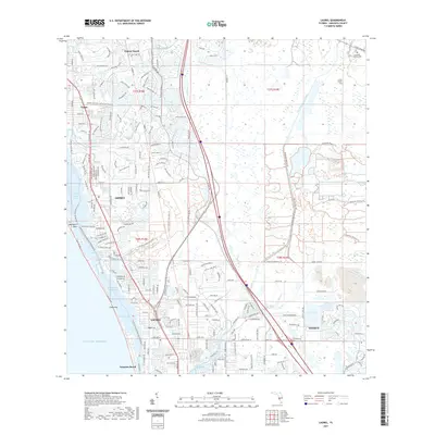
2021 Map of Laurel
USGS Topo · Published 2021About this map
Little Sarasota Bay and Blackburn Bay dominate the coastal edge of this Sarasota County landscape, where the barrier environment of Casey Key shields the Intracoastal Waterway from the Gulf of Mexico. The transition from suburban development in Osprey and Laurel to the protected interior is marked by the expansive Oscar Scherer State Park, which preserves a significant stretch of Florida scrub habitat. Inland, the hydrology is defined by a network of tidal creeks including South Creek, Shakett Creek, and Catfish Creek, alongside the engineered Cow Pen Slough Canal.
Find a feature on this map
74 named features on this map. Tap any name to fly to it.
Don’t see what you’re looking for? This feature index may not catch every label — zoom into the map to look around manually.
Map Details
Editions of this 2021 Laurel Map
This is the sole edition of this map. No revisions or reprints were ever made.
Other maps of this area

1943 · Laurel
USGS Topo · 1:24,000

1944 · Bird Keys
USGS Topo · 1:31,680

1944 · Sarasota
USGS Topo · 1:31,680

1944 · Lower Myakka Lake
USGS Topo · 1:31,680

1944 · Myakka River
USGS Topo · 1:31,680

1944 · Laurel
USGS Topo · 1:31,680

1944 · Venice
USGS Topo · 1:31,680

1944 · Miakka
USGS Topo · 1:31,680

1947 · Bee Ridge
USGS Topo · 1:24,000

1956 · Tampa
USGS Topo · 1:250,000