2020s Maps of Sumter County, Florida
Explore 37 historic maps of Sumter County from the 2020s. These maps offer a rare glimpse into what life looked like during the 2020s — showing old roads, neighborhoods, homes, and landmarks that have changed or disappeared over time.
Whether you're researching your family's past, planning a metal detecting trip, or studying how Sumter County's landscape evolved across the 2020s, these high-resolution maps are a powerful tool for exploring the history of this region.
- Focus on a specific era: All maps on this page are from the 2020s, giving you a focused view of this time period.
- See what’s changed: Compare century-old streets, trails, and buildings to today's modern landscape using overlays and satellite layers.
- Research with precision: Use these maps for genealogy, historical research, land use analysis, or educational projects.
- View, download, or print: Maps are fully viewable online in high resolution, and can be downloaded or printed for your own records.
Start exploring Sumter County's history through authentic maps from the 2020s. This is your window into the past.
Sumter County, FL maps
(37)- 2021 Map of Clay Sink, 2021 Print
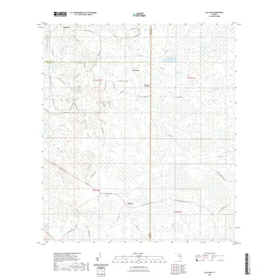 2021 Clay Sink2021 Print · USGSCovers Sumter County, including Sturkey, Clay Sink, and other nearby areas
 - 2021 Map of Rock Ridge, 2021 Print
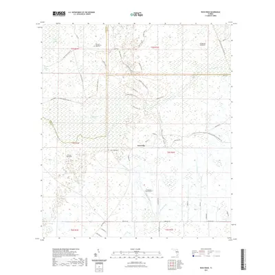 2021 Rock Ridge2021 Print · USGSCovers Sumter County, including Green Pond, Rock Ridge, and other nearby areas
 - 2021 Map of Bay Lake, 2021 Print
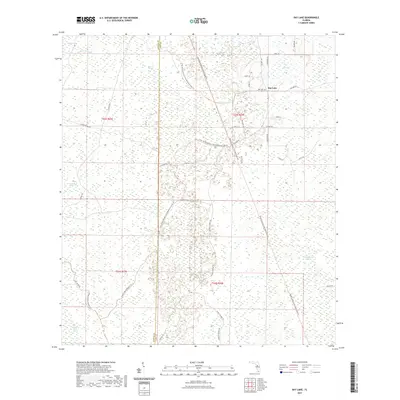 2021 Bay Lake2021 Print · USGSCovers Sumter County, including Bay Lake, Lake County, and other nearby areas
 - 2021 Map of Mascotte, 2021 Print
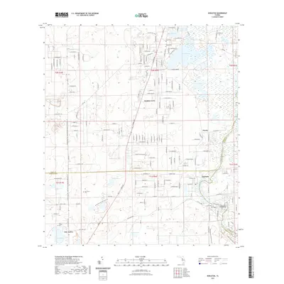
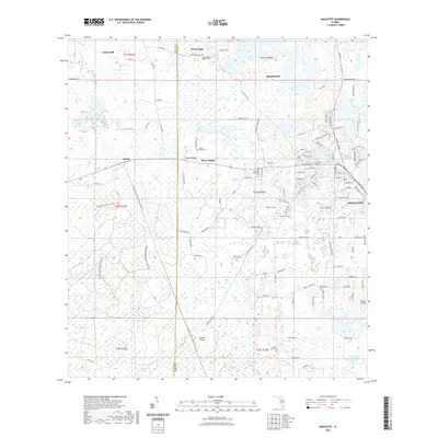 2021 Mascotte2021 Print · USGSCovers Sumter County, including Groveland, Mascotte, and other nearby areas
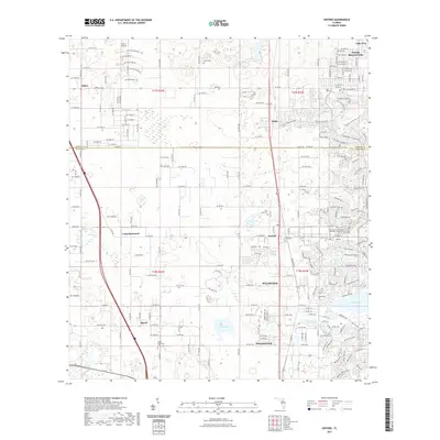
 - 2021 Map of Webster, 2021 Print
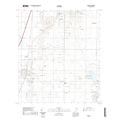
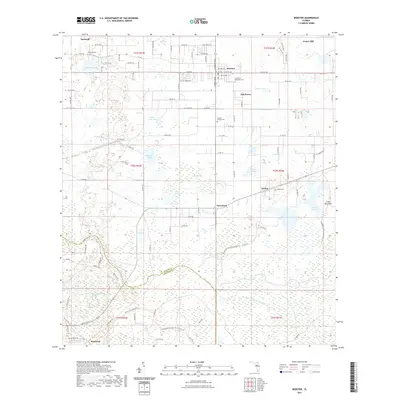 2021 Webster2021 Print · USGSCovers Sumter County, including Brooksville, Bushnell, and other nearby areas
 - 2021 Map of Nobleton, 2021 Print
 2021 Nobleton2021 Print · USGSCovers Sumter County, including Istachatta, Pineola, and other nearby areas
 - 2021 Map of Stokes Ferry, 2021 Print
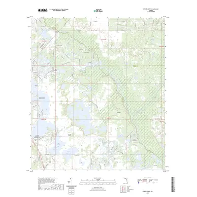
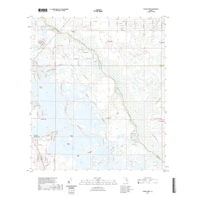 2021 Stokes Ferry2021 Print · USGSCovers Sumter County, including Hernando, Marion County, and other nearby areas
 - 2021 Map of Wildwood, 2021 Print
 2021 Wildwood2021 Print · USGSCovers Sumter County, including The Villages, Wildwood, and other nearby areas
 - 2021 Map of Oxford, 2021 Print
 2021 Oxford2021 Print · USGSCovers Sumter County, including The Villages, Wildwood, and other nearby areas
 - 2021 Map of Saint Catherine, 2021 Print
 2021 Saint Catherine2021 Print · USGSCovers Sumter County, including Brooksville, Ridge Manor, and other nearby areas
 - 2021 Map of Rutland, 2021 Print
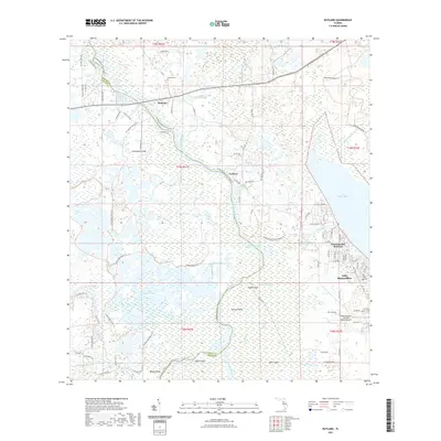 2021 Rutland2021 Print · USGSCovers Sumter County, including Carlson, Rutland, and other nearby areas
 - 2021 Map of Lake Panasoffkee NW, 2021 Print
 2021 Lake Panasoffkee NW2021 Print · USGSCovers Sumter County, including Marion County, Citrus County, and other nearby areas
 - 2021 Map of Branchborough, 2021 Print
 2021 Branchborough2021 Print · USGSCovers Sumter County, including Cumpressco, Port Lonesome, and other nearby areas
 - 2021 Map of Wahoo, 2021 Print
 2021 Wahoo2021 Print · USGSCovers Sumter County, including Bushnell, Bay Hill, and other nearby areas
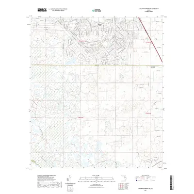
 - 2021 Map of Leesburg West, 2021 Print
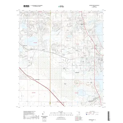 2021 Leesburg West2021 Print · USGSCovers Sumter County, including The Villages, Leesburg, and other nearby areas
 - 2021 Map of Center Hill, 2021 Print
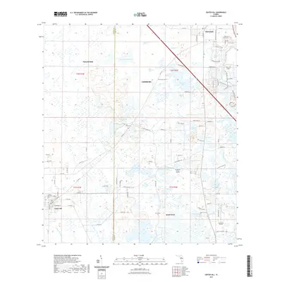 2021 Center Hill2021 Print · USGSCovers Sumter County, including Wildwood, Mascotte, and other nearby areas
 - 2021 Map of Bushnell, 2021 Print
 2021 Bushnell2021 Print · USGSCovers Sumter County, including Wildwood, Bushnell, and other nearby areas
 - 2021 Map of Lady Lake, 2021 Print
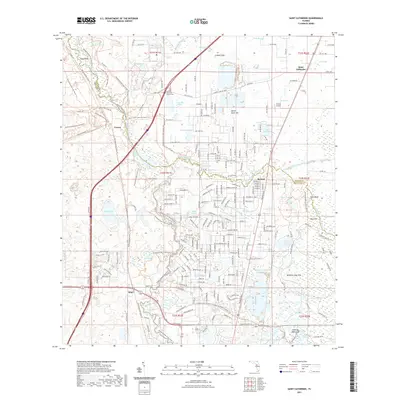
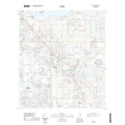 2021 Lady Lake2021 Print · USGSCovers Sumter County, including The Villages, Lady Lake, and other nearby areas
 - 2023 Map of Stokes Ferry, 2023 Print
 2023 Stokes Ferry2023 Print · USGSCovers Sumter County, including Hernando, Marion County, and other nearby areas
 - 2024 Map of Clay Sink, 2024 Print
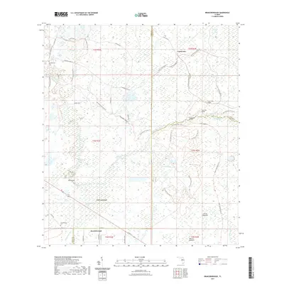
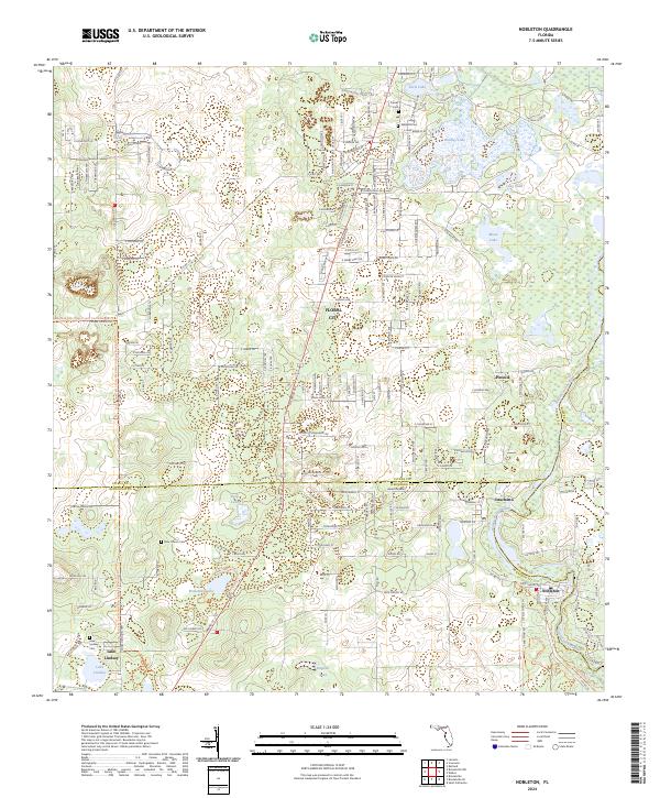
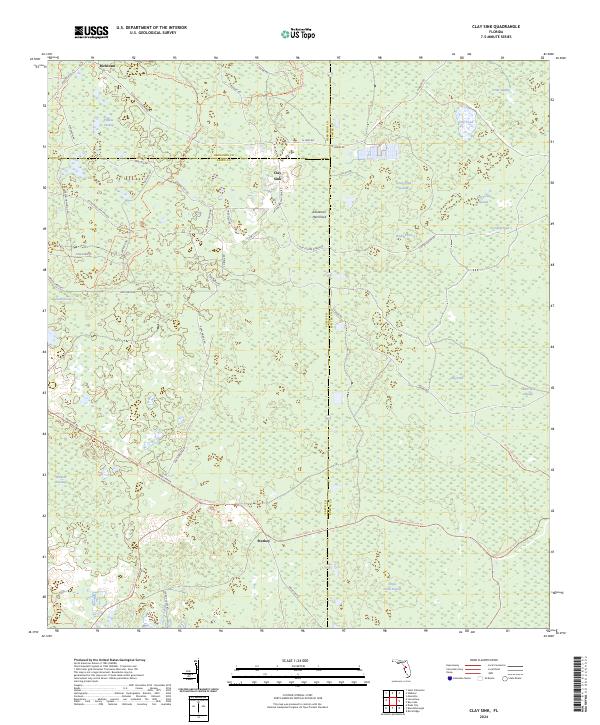 2024 Clay Sink2024 Print · USGSThe Florida interior near the tri-county junction of Pasco, Hernando, and Sumter appears here as a land of extensive wetlands. Genealogists and historians can trace the rural communities of Richloam and Clay Sink alongside landmarks like Raulerson Hammock and Yankee Swamp.
 - 2024 Map of Nobleton, 2024 Print
 2024 Nobleton2024 Print · USGSThe riverine borders of Hernando and Citrus counties are captured here in the early twenty-first century, showing the rural networks along the Withlacoochee River. Researchers can locate several family burial sites like Frazier Cem and small settlements including Istachatta and Nobleton.
 - 2024 Map of Webster, 2024 Print
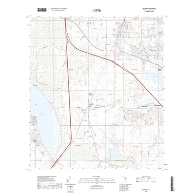
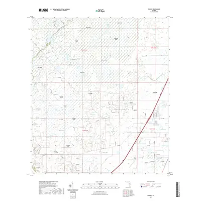
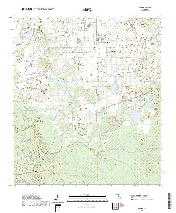 2024 Webster2024 Print · USGSSumter County at the modern day reveals a landscape where established towns like Webster and Center Hill meet the deep wetlands of the Withlacoochee State Forest. Genealogists can trace local history through several rural cemeteries, including Linden Cem and Matchett Cem.
 - 2024 Map of Lake Panasoffkee NW, 2024 Print
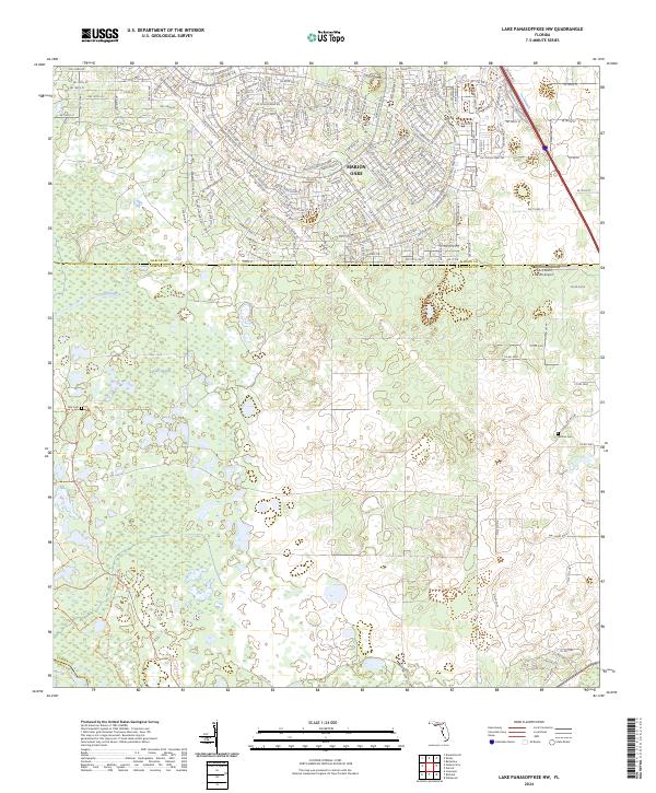 2024 Lake Panasoffkee NW2024 Print · USGSThe northern development of Marion Oaks meets the wetlands of Sumter and Marion counties in this contemporary study. Researchers can trace local burial sites at Alto Cem and Nichols Cem or follow the path of Gum Slough.
 - 2024 Map of Rutland, 2024 Print
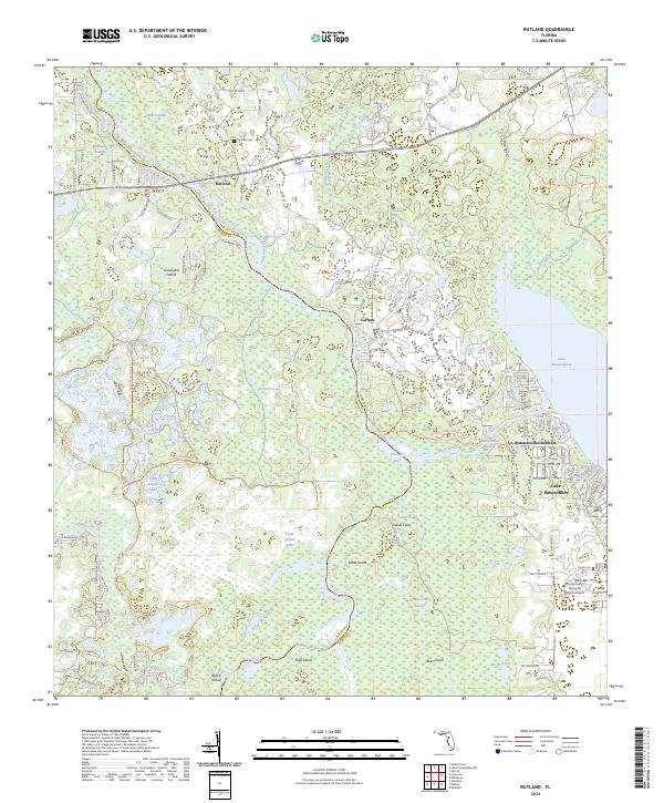 2024 Rutland2024 Print · USGSThis Florida wetlands region near the Sumter and Citrus county line showcases a landscape dominated by the Withlacoochee River and its surrounding sloughs. Genealogists and local historians can trace the community of Rutland, locate the Rutland Cemetery, and explore the shoreline developments at Panacoochee Retreats.
 - 2024 Map of Mascotte, 2024 Print
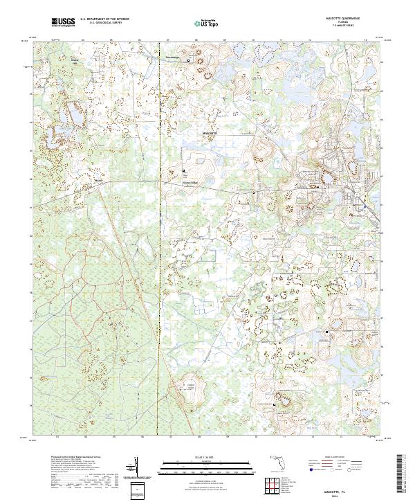 2024 Mascotte2024 Print · USGSThe Lake and Sumter County line comes alive in this study of the Mascotte area, showing a landscape defined by the General James A Van Fleet State Trl and rural ridges. Genealogists can locate several local burial sites, including Tuscannoga Cem, Mascotte Cem, and the Empire Cem.
Showing maps 1-25 of 37
Top cities of Sumter County
- The Villages historical maps
- Wildwood historical maps
- Bushnell historical maps
- Center Hill historical maps
- Webster historical maps
- Coleman historical maps
Frequently asked questions
- What are the different types of historical maps available for Sumter County?
- What is the oldest map of Sumter County?
- Where can I purchase historical maps of Sumter County for my home or office?
- Where can I download high-res historical maps of Sumter County?
- Are there historical topographic maps available for Sumter County?
- Is there historical aerial imagery available for Sumter County?
- Where are historical maps of Sumter County sourced from?