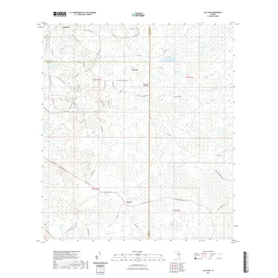
2021 Map of Clay Sink
USGS Topo · Published 2021About this map
Sturkey, Clay Sink, and Richloam anchor this interior Florida landscape where Hernando, Pasco, and Sumter counties meet. Dominated by the vast wetlands of the Green Swamp, the terrain is defined by a network of named waters including Yankee Swamp, Wildcat Swamp, and the Withlacoochee River. The area serves as a significant recreational and conservation corridor, evidenced by the passage of the Florida National Scenic Trl and the Withlacoochee State Forest Trl.
Find a feature on this map
59 named features on this map. Tap any name to fly to it.
Don’t see what you’re looking for? This feature index may not catch every label — zoom into the map to look around manually.
Map Details
Editions of this 2021 Clay Sink Map
This is the sole edition of this map. No revisions or reprints were ever made.
Other maps of this area

1955 · Plant City
USGS Topo · 1:250,000

1955 · Orlando
USGS Topo · 1:250,000

1957 · Orlando
USGS Topo · 1:250,000

1958 · Orlando
USGS Topo · 1:250,000

1958 · Plant City
USGS Topo · 1:250,000

1958 · Webster
USGS Topo · 1:24,000

1958 · Saint Catherine
USGS Topo · 1:24,000

1959 · Plant City
USGS Topo · 1:250,000

1960 · Lacoochee
USGS Topo · 1:24,000

1960 · Branchborough
USGS Topo · 1:24,000