Old Maps of Adamsville, The Villages for Hiking & Exploration
Hike through history with 13 historic maps of Adamsville. Explore old trails, ghost towns, and forgotten backroads — perfect for outdoor adventurers and local explorers.
- Rediscover forgotten places: Map out old mining camps, roads, and footpaths that no longer exist on modern maps.
- Layer with modern tools: Combine with LiDAR or satellite views to plan hikes through historical terrain.
- Made for exploration: Popular among hikers, overlanders, and local history lovers.
Use these maps to find adventure and explore the hidden past of Adamsville.
Adamsville, The Villages maps
(13)- 1893 Map of Panasoffkee, 1958 Print
 1893 Panasoffkee1958 Print · USGSSumter County was a landscape of expansive wetlands and early rail outposts during the 1890s. Genealogists and historians can trace the early rail stops at Wildwood and Coleman or locate historic waters like Lake Panasoffkee and Warm Spring.
 - 1895 Map of Panasoffkee
 1895 Panasoffkee1895 Print · USGSSumter County in the 1890s reveals a landscape of expansive wetlands and emerging rail towns. Genealogists and local historians can trace early settlements like Royal and Oxford or follow the route of the Florida Central and Peninsular RR.5 unique versions available
 - 1955 Map of Plant City, 1966 Print
 1955 Plant City1966 Print · USGSMid-century Central Florida comes to life in this survey of the Nature Coast and the inland citrus and rail belt. Genealogists and historians can trace the paths of the Atlantic Coast Line, locate the Anclote Keys Lighthouse, or find old communities like Masaryktown and Lacoochee.6 unique versions available
 - 1958 Map of Plant City
 1958 Plant City1958 Print · USGSFlorida's Gulf Coast and inland ridge country are captured here in the mid-fifties, showing the region before modern sprawl. Genealogists and historians can trace rail-era towns like Richland and Trilby or locate coastal landmarks such as the Anclote Keys Lighthouse.
 - 1959 Map of Plant City
 1959 Plant City1959 Print · USGSThe West Florida coast and inland timberlands are captured here in the late fifties, from the bend of the Gulf to the rail hubs of the interior. Trace the paths of the Atlantic Coast Line through Inverness and find landmarks like the Anclote Keys Lighthouse.
 - 1964 Map of Plant City
 1964 Plant City1964 Print · USGSThe West Florida coast and its interior rail corridors come alive in this mid-sixties survey, spanning from the gulf marshes to the agricultural heartland. Researchers can trace the routes of the Atlantic Coast Line through settlements like Bushnell, Inverness, and Plant City.
 - 1967 Map of Wildwood, 1969 Print
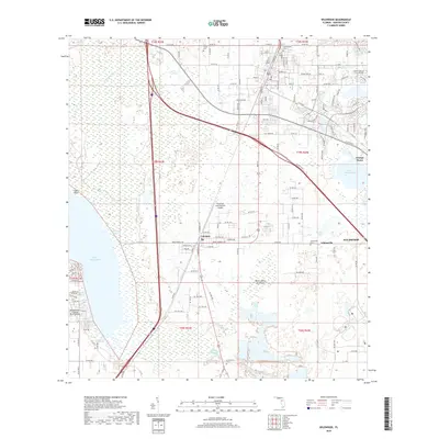
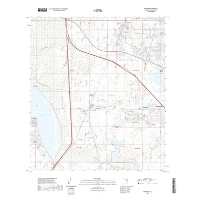
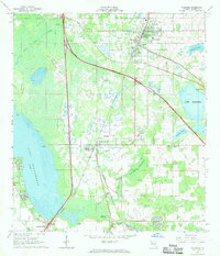 1967 Wildwood1969 Print · USGSSumter County transitions into the highway era in the late sixties as the new turnpike bisects established rail towns. Trace the growth of Wildwood and Coleman, or locate family landmarks like Oak Grove Cem and Adamsville.2 unique versions available
 - 1979 Map of Inverness, 1980 Print
 1979 Inverness1980 Print · USGSThe West Central Florida coastline and lake regions are captured here in the late seventies, showing the transition from Gulf marshes to the interior wetlands. Genealogists and researchers can locate family sites near Inverness or trace the early rail corridors of the Seaboard Coast Line through Wildwood and Okahumpka.2 unique versions available
 - 2012 Map of Wildwood, 2012 Print
 2012 Wildwood2012 Print · USGSCovers Adamsville, including The Villages, Wildwood, and other nearby areas
 - 2015 Map of Wildwood, 2015 Print
 2015 Wildwood2015 Print · USGSCovers Adamsville, including The Villages, Wildwood, and other nearby areas
 - 2018 Map of Wildwood, 2018 Print
 2018 Wildwood2018 Print · USGSCovers Adamsville, including The Villages, Wildwood, and other nearby areas
 - 2021 Map of Wildwood, 2021 Print
 2021 Wildwood2021 Print · USGSCovers Adamsville, including The Villages, Wildwood, and other nearby areas
 - 2024 Map of Wildwood, 2024 Print
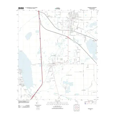
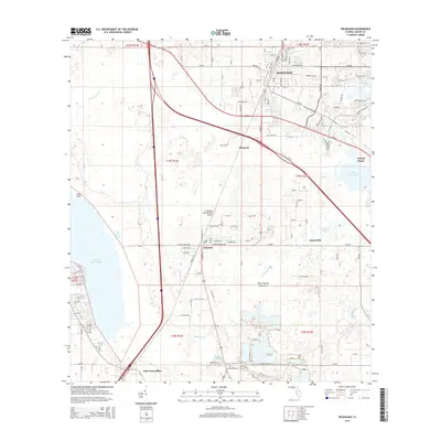
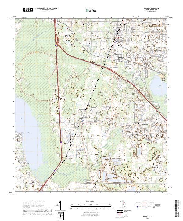 2024 Wildwood2024 Print · USGSSumter County at the start of the 2020s shows the meeting point of established communities and modern residential growth. Researchers can trace local heritage through Greenwood Cem and Adamsville or explore the wetlands around Lake Panasoffkee and Hogeye Sink.
End of results
Showing maps 1-13 of 13
Top cities near Adamsville
- The Villages historical maps
- Leesburg historical maps
- Groveland historical maps
- Lady Lake historical maps
- Wildwood historical maps
- Brooksville historical maps
See more
Frequently asked questions
- What are the different types of historical maps available for Adamsville?
- What is the oldest map of Adamsville?
- Where can I purchase historical maps of Adamsville for my home or office?
- Where can I download high-res historical maps of Adamsville?
- Are there historical topographic maps available for Adamsville?
- Is there historical aerial imagery available for Adamsville?
- Where are historical maps of Adamsville sourced from?