2020s Maps of Taylor County, Florida
Explore 68 historic maps of Taylor County from the 2020s. These maps offer a rare glimpse into what life looked like during the 2020s — showing old roads, neighborhoods, homes, and landmarks that have changed or disappeared over time.
Whether you're researching your family's past, planning a metal detecting trip, or studying how Taylor County's landscape evolved across the 2020s, these high-resolution maps are a powerful tool for exploring the history of this region.
- Focus on a specific era: All maps on this page are from the 2020s, giving you a focused view of this time period.
- See what’s changed: Compare century-old streets, trails, and buildings to today's modern landscape using overlays and satellite layers.
- Research with precision: Use these maps for genealogy, historical research, land use analysis, or educational projects.
- View, download, or print: Maps are fully viewable online in high resolution, and can be downloaded or printed for your own records.
Start exploring Taylor County's history through authentic maps from the 2020s. This is your window into the past.
Taylor County, FL maps
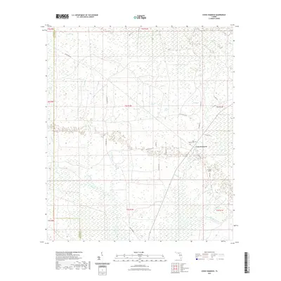
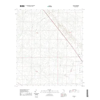
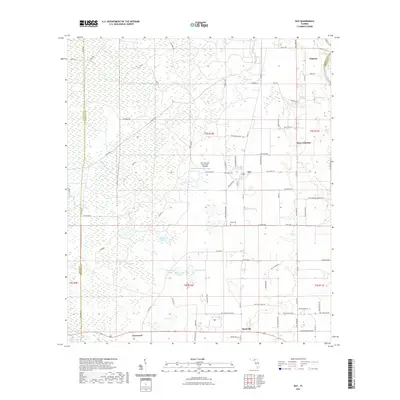
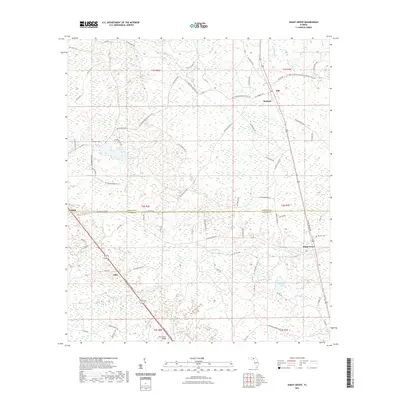
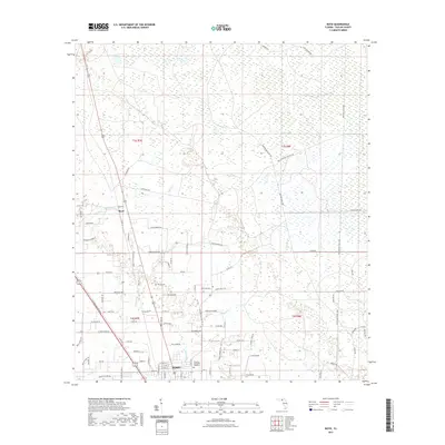
(68)- 2021 Map of Clara, 2021 Print
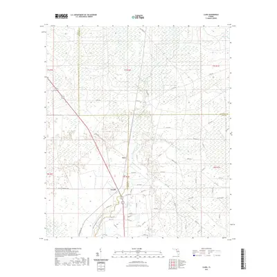 2021 Clara2021 Print · USGSCovers Taylor County, including Clara, Dixie County, and other nearby areas
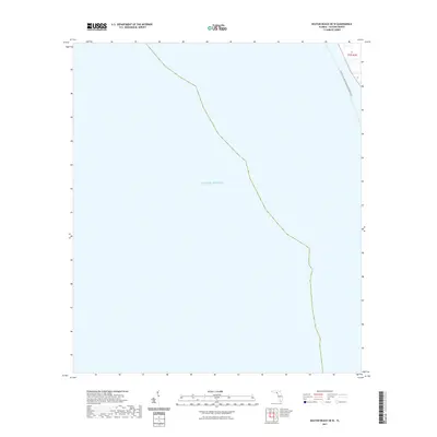
 - 2021 Map of Steinhatchee, 2021 Print
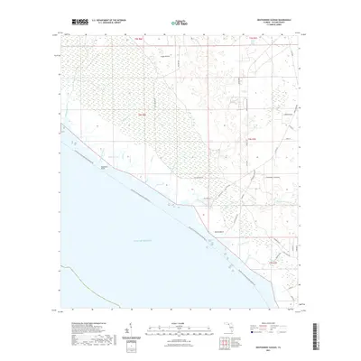
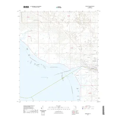 2021 Steinhatchee2021 Print · USGSCovers Taylor County, including Dallus Creek Landing, Steinhatchee, and other nearby areas
 - 2021 Map of Rock Islands, 2021 Print
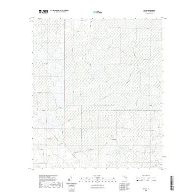
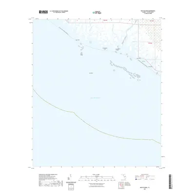 2021 Rock Islands2021 Print · USGSCovers Taylor County, including United States, Florida, and other nearby areas
 - 2021 Map of Crooked Point, 2021 Print
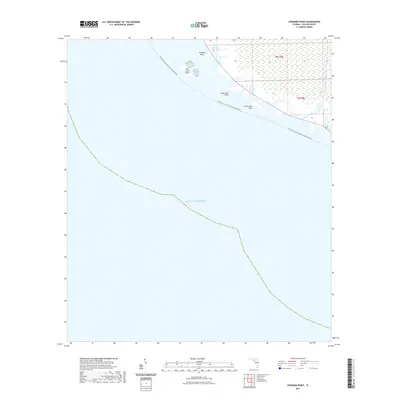 2021 Crooked Point2021 Print · USGSCovers Taylor County, including United States, Florida, and other nearby areas
 - 2021 Map of Cooks Hammock, 2021 Print
 2021 Cooks Hammock2021 Print · USGSCovers Taylor County, including Cooks Hammock, Lafayette County, and other nearby areas
 - 2021 Map of Keaton Beach OE W, 2021 Print
 2021 Keaton Beach OE W2021 Print · USGSCovers Taylor County, including United States, Florida, and other nearby areas
 - 2021 Map of Keaton Beach, 2021 Print
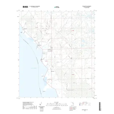 2021 Keaton Beach2021 Print · USGSCovers Taylor County, including Dekle Beach, Fish Creek, and other nearby areas
 - 2021 Map of Nutall Rise, 2021 Print
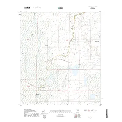 2021 Nutall Rise2021 Print · USGSCovers Taylor County, including Buckhorn, Scanlon, and other nearby areas
 - 2021 Map of Secotan, 2021 Print
 2021 Secotan2021 Print · USGSCovers Taylor County, including Secotan, United States, and other nearby areas
 - 2021 Map of Day SE, 2021 Print
 2021 Day SE2021 Print · USGSCovers Taylor County, including Lafayette County, United States, and other nearby areas
 - 2021 Map of Perry, 2021 Print
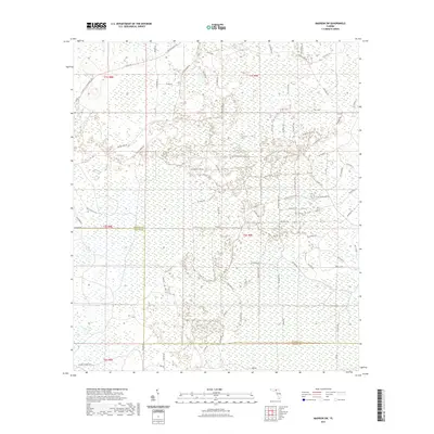
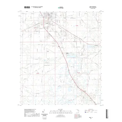 2021 Perry2021 Print · USGSCovers Taylor County, including Perry, Foley, and other nearby areas
 - 2021 Map of Manlin Hammock, 2021 Print
 2021 Manlin Hammock2021 Print · USGSCovers Taylor County, including United States, Florida, and other nearby areas
 - 2021 Map of Day, 2021 Print
 2021 Day2021 Print · USGSCovers Taylor County, including Day, Townsend, and other nearby areas
 - 2021 Map of Johnson Hammock, 2021 Print
 2021 Johnson Hammock2021 Print · USGSCovers Taylor County, including Cabbage Grove, Econfina, and other nearby areas
 - 2021 Map of Lamont SE, 2021 Print
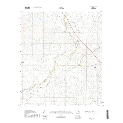 2021 Lamont SE2021 Print · USGSCovers Taylor County, including Covington, Jefferson County, and other nearby areas
 - 2021 Map of Wacissa, 2021 Print
 2021 Wacissa2021 Print · USGSCovers Taylor County, including Wacissa, Thomas City, and other nearby areas
 - 2021 Map of Shady Grove, 2021 Print
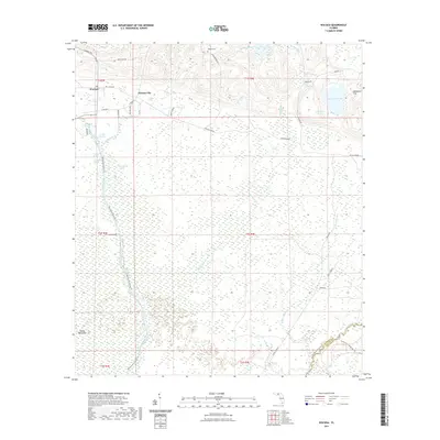
 2021 Shady Grove2021 Print · USGSCovers Taylor County, including Shady Grove, Iddo, and other nearby areas
 - 2021 Map of Day NW, 2021 Print
 2021 Day NW2021 Print · USGSCovers Taylor County, including United States, Florida, and other nearby areas
 - 2021 Map of Madison SE, 2021 Print
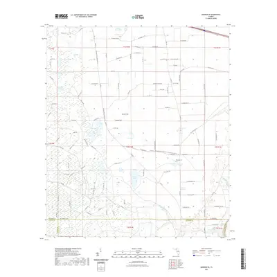 2021 Madison SE2021 Print · USGSCovers Taylor County, including Suwannee County, Lafayette County, and other nearby areas
 - 2021 Map of Greenville SE, 2021 Print
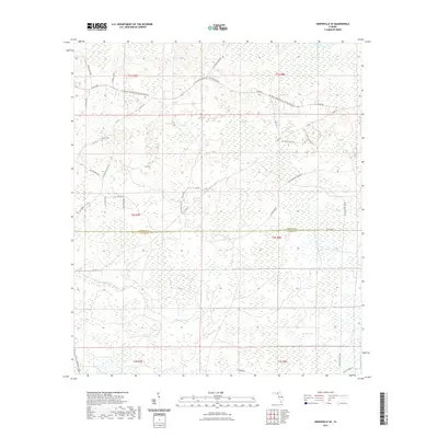 2021 Greenville SE2021 Print · USGSCovers Taylor County, including Madison County, United States, and other nearby areas
 - 2021 Map of Boyd, 2021 Print
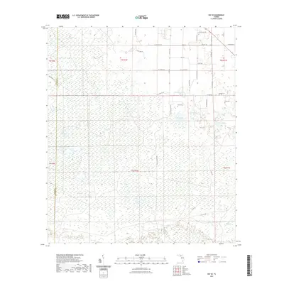
 2021 Boyd2021 Print · USGSCovers Taylor County, including Perry, Boyd, and other nearby areas
 - 2021 Map of Madison SW, 2021 Print
 2021 Madison SW2021 Print · USGSCovers Taylor County, including Madison County, United States, and other nearby areas
 - 2021 Map of Fenholloway, 2021 Print
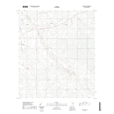 2021 Fenholloway2021 Print · USGSCovers Taylor County, including Fenholloway, United States, and other nearby areas
 - 2021 Map of Hampton Springs, 2021 Print
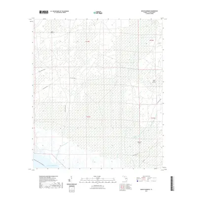
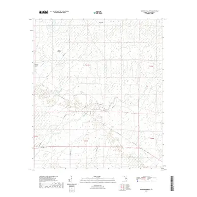
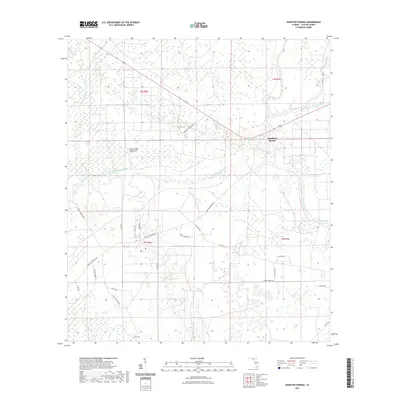 2021 Hampton Springs2021 Print · USGSCovers Taylor County, including Roach, Hampton Springs, and other nearby areas
 - 2021 Map of Okefenokee Slough, 2021 Print
 2021 Okefenokee Slough2021 Print · USGSCovers Taylor County, including United States, Florida, and other nearby areas
Showing maps 1-25 of 68
Top cities of Taylor County
Frequently asked questions
- What are the different types of historical maps available for Taylor County?
- What is the oldest map of Taylor County?
- Where can I purchase historical maps of Taylor County for my home or office?
- Where can I download high-res historical maps of Taylor County?
- Are there historical topographic maps available for Taylor County?
- Is there historical aerial imagery available for Taylor County?
- Where are historical maps of Taylor County sourced from?