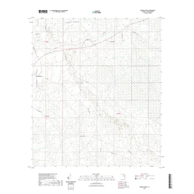
2021 Map of Fenholloway
USGS Topo · Published 2021About this map
Fenholloway stands at the western edge of a landscape defined by the drainage systems of the Fenholloway River and Middle Warrior Cr. This Taylor County terrain is characterized by expansive wetlands and low-lying basins, including the broad San Pedro Bay and distinct marshy areas like Blue Sog, Big Sog, and Crawford Sog. The area's character is shaped by its hydrology, with The Meadows providing a localized break in the wetland pattern.
Find a feature on this map
26 named features on this map. Tap any name to fly to it.
Don’t see what you’re looking for? This feature index may not catch every label — zoom into the map to look around manually.
Map Details
Editions of this 2021 Fenholloway Map
This is the sole edition of this map. No revisions or reprints were ever made.
Other maps of this area

1954 · Fenholloway
USGS Topo · 1:24,000

1954 · Day SE
USGS Topo · 1:24,000

1954 · Day
USGS Topo · 1:24,000

1954 · Cooks Hammock
USGS Topo · 1:24,000

1954 · Warrior Swamp
USGS Topo · 1:24,000

1954 · Salem
USGS Topo · 1:24,000

1954 · Boyd
USGS Topo · 1:24,000

1954 · Day NW
USGS Topo · 1:24,000

1954 · Gainesville
USGS Topo · 1:250,000

1954 · Valdosta
USGS Topo · 1:250,000