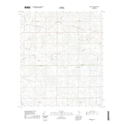
2021 Map of Greenville SE
USGS Topo · Published 2021About this map
Sampala Swamp and the dense wetlands of San Pedro Bay dominate this 2021 survey of the borderlands between Madison and Taylor Counties. The landscape is defined by its extensive drainage networks and managed forest tracts, with the Econfina River winding through the southwestern section. Unlike more developed areas, this territory is shaped by a grid of logging and access roads such as SW Canal Point Trl and SW Main Canal Bay Rd. Local history is anchored by Bailey Cem in the northwest, providing a rare point of genealogical reference amidst the timberlands. The mapping of the San Pedro Bay WMA Ent 26 highlights the area's contemporary role in land management and conservation, where the intersection of Co-Line Rd and various county routes facilitates transit through the low-lying Florida interior.
Find a feature on this map
39 named features on this map. Tap any name to fly to it.
Don’t see what you’re looking for? This feature index may not catch every label — zoom into the map to look around manually.
Map Details
Editions of this 2021 Greenville SE Map
This is the sole edition of this map. No revisions or reprints were ever made.
Other maps of this area

1952 · Secotan
USGS Topo · 1:24,000

1954 · Boyd
USGS Topo · 1:24,000

1954 · Secotan
USGS Topo · 1:24,000

1954 · Day NW
USGS Topo · 1:24,000

1954 · Greenville
USGS Topo · 1:24,000

1954 · Greenville NE
USGS Topo · 1:24,000

1954 · Valdosta
USGS Topo · 1:250,000

1955 · Shady Grove
USGS Topo · 1:24,000

1955 · Greenville SE
USGS Topo · 1:24,000

1958 · Valdosta
USGS Topo · 1:250,000