2000s (21st Century) Maps of Taylor County, Florida
Explore 158 historic maps of Taylor County from the 2000s (21st Century). These maps offer a rare glimpse into what life looked like during the 2000s — showing old roads, neighborhoods, homes, and landmarks that have changed or disappeared over time.
Whether you're researching your family's past, planning a metal detecting trip, or studying how Taylor County's landscape evolved across the 2000s, these high-resolution maps are a powerful tool for exploring the history of this region.
- Focus on a specific era: All maps on this page are from the 2000s, giving you a focused view of this time period.
- See what’s changed: Compare century-old streets, trails, and buildings to today's modern landscape using overlays and satellite layers.
- Research with precision: Use these maps for genealogy, historical research, land use analysis, or educational projects.
- View, download, or print: Maps are fully viewable online in high resolution, and can be downloaded or printed for your own records.
Start exploring Taylor County's history through authentic maps from the 2000s. This is your window into the past.
Taylor County, FL maps
(158)- 2012 Map of Hampton Springs, 2012 Print
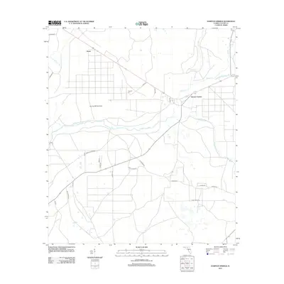 2012 Hampton Springs2012 Print · USGSHampton Springs and the surrounding Florida pine lands are detailed here during the early twenty-first century. Genealogists and local historians can locate Poorspot Cem, the winding Fenholloway River, and old family-named landmarks like Thomas Mill Hammock.
 - 2012 Map of Secotan, 2012 Print
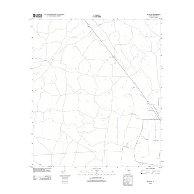 2012 Secotan2012 Print · USGSCoastal Taylor County remains a quiet landscape of pine woods and winding creeks in the early 21st century. Genealogists and local historians can trace family-named roads like Eddie Page Rd and Grantham Hill Rd near the Secotan Lookout Tower.
 - 2012 Map of Boyd, 2012 Print
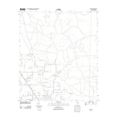 2012 Boyd2012 Print · USGSThe community of Boyd and its surrounding Taylor County timber and farm lands are captured here during a period of modern rural transition. Genealogists and local historians can trace family-named thoroughfares and find landmarks like Shiloh Cem, Landing Field, and Lake Bird.
 - 2012 Map of Lamont SE, 2012 Print
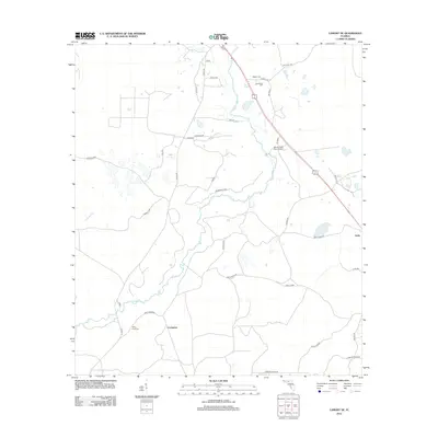 2012 Lamont SE2012 Print · USGSFlorida's Big Bend region is captured here in the early 2010s, where rural communities like Covington and Eridu are connected by a network of timber and farm roads. Genealogists can locate several family burial grounds, including Poppell Cem and Rocky Ford Cem, along the winding Aucilla River.
 - 2012 Map of Perry, 2012 Print
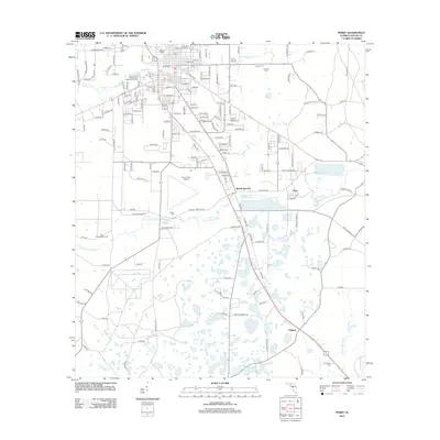 2012 Perry2012 Print · USGSTaylor County at the start of the 2010s shows a landscape defined by the Fenholloway River and local industry. Genealogists and historians can trace family locations through several community burial grounds like Wilcox Cem and Faulkner Cem or explore the area around Bucell Junction.
 - 2012 Map of Nutall Rise, 2012 Print
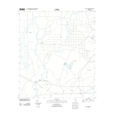 2012 Nutall Rise2012 Print · USGSThe riverine landscapes of the Florida Big Bend are captured here in the early twenty-first century, where the Aucilla and Wacissa rivers converge. Researchers can trace the layout of Nutall Rise, the remote settlement of Scanlon, and landmarks like the Cabbage Grove Lookout Tower.
 - 2012 Map of Madison SE, 2012 Print
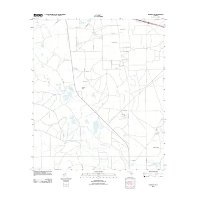 2012 Madison SE2012 Print · USGSSuwannee County remains a landscape of hidden limestone sinks and historic rural crossroads in the early twenty-first century. Genealogists and local historians can locate the Winquepin Cem and trace the course of Blacksnake Cr toward the Suwannee River.
 - 2012 Map of Shady Grove, 2012 Print
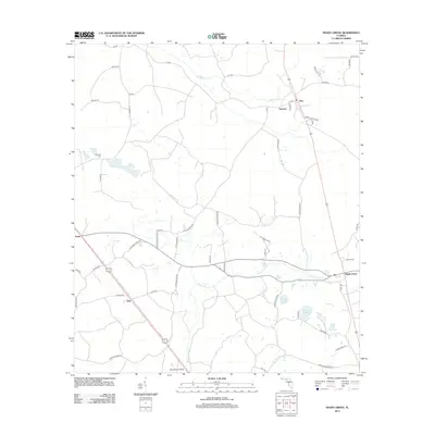 2012 Shady Grove2012 Print · USGSTaylor County at the start of the 2010s reveals a quiet landscape of river bends and small crossroads. Researchers can trace family history at Campbell Cem or locate old community centers like Eridu, Sirmans, and the eponymous Shady Grove.
 - 2012 Map of Day, 2012 Print
 2012 Day2012 Print · USGSLafayette County's rural interior comes into focus during the early twenty-first century, showing a landscape of small settlements and riverfront woods. Genealogists can trace local roots at Roger Cem and Dees Cem, or locate family landmarks near Day and the Suwannee River.
 - 2012 Map of Madison SW, 2012 Print
 2012 Madison SW2012 Print · USGSTaylor County's timberlands and rural networks are meticulously mapped here in the early twenty-first century. Genealogists and historians can trace family-named routes like Tom Gunter Rd and John Green III near landmarks like Sinclair Lookout.
 - 2012 Map of Greenville SE, 2012 Print
 2012 Greenville SE2012 Print · USGSTaylor County's timberlands and river bottoms are captured here in the early 2010s, showing a landscape of quiet crossroads and family-named routes. Researchers can trace the rural communities of Moseley Hall and Lake Bird, or locate the Bailey Cem and the Econfina River.
 - 2012 Map of Manlin Hammock, 2012 Print
 2012 Manlin Hammock2012 Print · USGSCoastal Taylor County at the start of the decade reveals a low-lying landscape shaped by the Gulf and timber roads. Trace the swampy terrain through family-named landmarks like Thomas Mill Island and the isolated Camp Misery.
 - 2012 Map of Snipe Island, 2012 Print
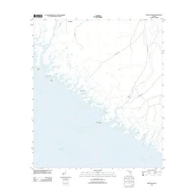 2012 Snipe Island2012 Print · USGSThe Taylor County coastline in the early 21st century remains a landscape of tidal rivers and remote hammocks. Genealogists and local historians can trace the geography of the Aucilla River and Econfina River near settlements like Mandalay and Econfina Landing.
 - 2012 Map of Day SE, 2012 Print
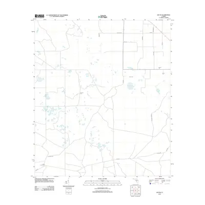 2012 Day SE2012 Print · USGSTaylor County's rural timber and wetland interior is documented here in the early twenty-first century. Genealogists and local historians can locate family burial grounds at Bethany Cem and Folsom Cem or trace rural landmarks like Ainsley Lookout Tower.
 - 2012 Map of Cooks Hammock, 2012 Print
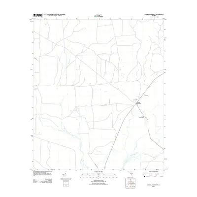 2012 Cooks Hammock2012 Print · USGSLafayette County’s rural interior is documented here in the early twenty-first century, showing a landscape defined by forest management and the Steinhatchee River. Researchers can locate the Cooks Hammock Cem, trace the drainage of Kettle Cr, and identify landmarks like the Carbur Lookout Tower.
 - 2012 Map of Warrior Swamp, 2012 Print
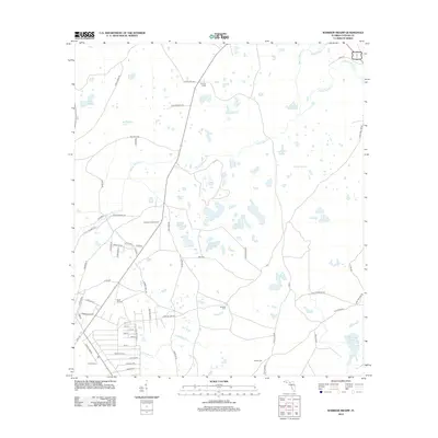 2012 Warrior Swamp2012 Print · USGSCoastal Taylor County in the early twenty-first century is a landscape of low-lying wetlands and timber management. Researchers can trace rural cemeteries and local landmarks like Sandhill Cem, Huxford Lookout Tower, and Huxford Camp.
 - 2012 Map of Salem, 2012 Print
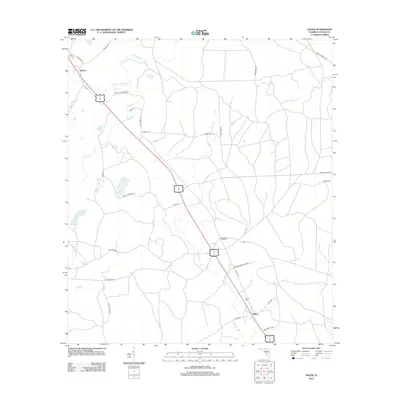 2012 Salem2012 Print · USGSTaylor County settlement patterns and family-named landmarks are captured here in the early twenty-first century. Genealogists and local historians can trace rural routes like Josh McCall Rd and locate the historic Salem Cem near Salem.
 - 2012 Map of Salem SW, 2012 Print
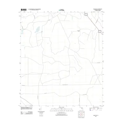 2012 Salem SW2012 Print · USGSCoastal Taylor County was characterized by vast flatwoods and sogs during the early twenty-first century. Genealogists and researchers can trace the movement of people and goods via the Seaboard Coast Line and roads like Tide City Rd.
 - 2012 Map of Fenholloway, 2012 Print
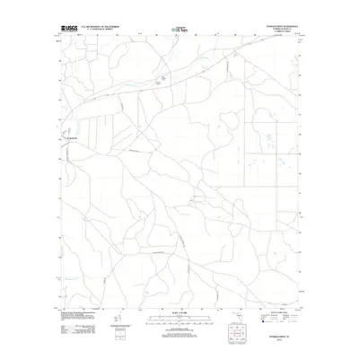 2012 Fenholloway2012 Print · USGSTaylor County's timberlands and river corridors are captured here in the early twenty-first century. Researchers can trace rural road networks like Cooks Hammock Rd and find local landmarks such as the Foley Lookout Tower and Circle P Airport.
 - 2012 Map of Johnson Hammock, 2012 Print
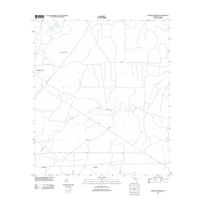 2012 Johnson Hammock2012 Print · USGSCoastal Taylor County in the early twenty-first century is defined by its rural settlements and river drainage. You can trace the winding course of the Econfina River and locate small communities like Cabbage Grove and Waylonzo along the local road network.
 - 2012 Map of Day NW, 2012 Print
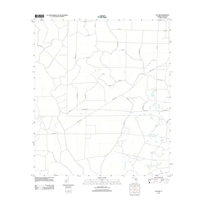 2012 Day NW2012 Print · USGSTaylor County during the early 2010s shows a landscape of structured rural blocks and river drainage. Researchers can trace land divisions and local routes including Jeffery Rich Rd, Honey Bee Rd, and the banks of the Fenholloway River.
 - 2012 Map of Wacissa, 2012 Print
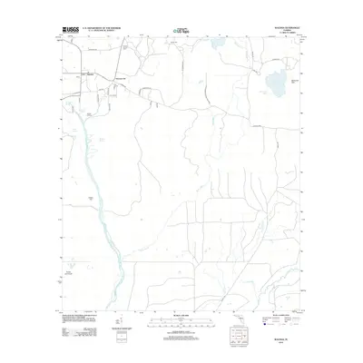 2012 Wacissa2012 Print · USGSJefferson County’s springs and river headwaters are captured here during the early twenty-first century, showing a landscape defined by water and woods. Researchers can trace family-named sites like Walker Cem, Mulloy Landing, and the small community of Thomas City.
 - 2012 Map of Steinhatchee, 2012 Print
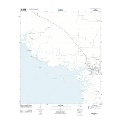 2012 Steinhatchee2012 Print · USGSThe Florida Gulf Coast at the mouth of the Steinhatchee River comes into sharp focus during the early twenty-first century. Researchers can trace the local street grids of Steinhatchee and Steward City or locate coastal landmarks like Dallus Creek Landing and Shell Reefs.
 - 2012 Map of Okefenokee Slough, 2012 Print
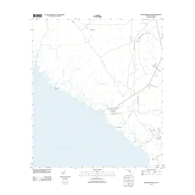 2012 Okefenokee Slough2012 Print · USGSThe Taylor County coastline in the early 21st century features a labyrinth of tidal creeks and marshlands south of Eagle Prairie. Researchers can trace the legacy of coastal fishing and seasonal living through named outposts like Spring Warrior Camp, Adams Beach, and Ezell Camp.
 - 2012 Map of Clara, 2012 Print
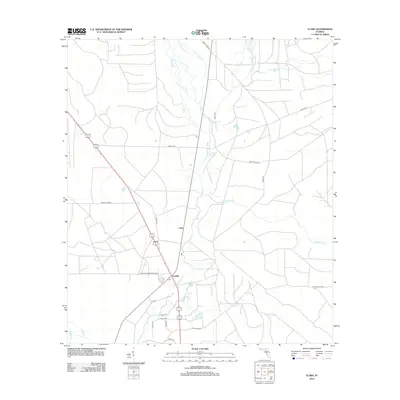 2012 Clara2012 Print · USGSThe Taylor County interior comes into focus during the early 2010s, centered on the Steinhatchee River and its surrounding wetlands. Researchers can trace local history through the settlements of Clara and Tennille, as well as landmarks like Steinhatchee Spring and Iron Spring.
Showing maps 1-25 of 158
Top cities of Taylor County
Frequently asked questions
- What are the different types of historical maps available for Taylor County?
- What is the oldest map of Taylor County?
- Where can I purchase historical maps of Taylor County for my home or office?
- Where can I download high-res historical maps of Taylor County?
- Are there historical topographic maps available for Taylor County?
- Is there historical aerial imagery available for Taylor County?
- Where are historical maps of Taylor County sourced from?