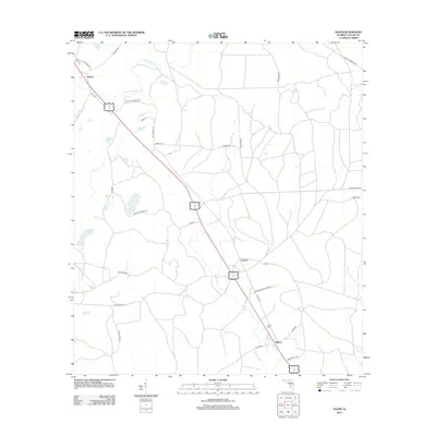
2012 Map of Salem
USGS Topo · Published 2012About this map
Salem and the adjacent Salem Cem anchor the southeastern corner of this Taylor County landscape, where the local road network reflects long-standing family ties and rural land use. The terrain is defined by a series of watercourses, including California Cr and Athena Warrior Cr, which drain the low-lying areas between small settlements. Local history is etched into the landscape through roads named for residents, such as Josh McCall Rd, Lee Roy Morgan Rd, and Bill Howell Rd.
Find a feature on this map
34 named features on this map. Tap any name to fly to it.
Don’t see what you’re looking for? This feature index may not catch every label — zoom into the map to look around manually.
Map Details
Editions of this 2012 Salem Map
This is the sole edition of this map. No revisions or reprints were ever made.
Other maps of this area

1954 · Fenholloway
USGS Topo · 1:24,000

1954 · Day SE
USGS Topo · 1:24,000

1954 · Clara
USGS Topo · 1:24,000

1954 · Salem SW
USGS Topo · 1:24,000

1954 · Cooks Hammock
USGS Topo · 1:24,000

1954 · Warrior Swamp
USGS Topo · 1:24,000

1954 · Salem
USGS Topo · 1:24,000

1954 · Keaton Beach
USGS Topo · 1:24,000

1954 · Gainesville
USGS Topo · 1:250,000

1954 · Valdosta
USGS Topo · 1:250,000