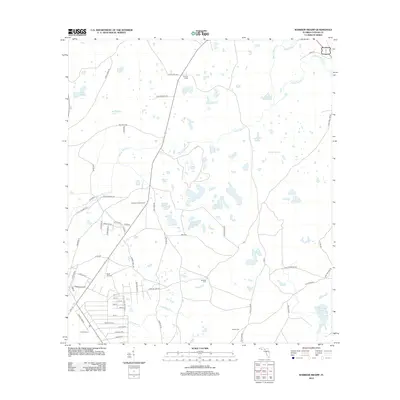
2012 Map of Warrior Swamp
USGS Topo · Published 2012About this map
Warrior Swamp and White Oak Swamp define the hydrology of this coastal Florida landscape, where a complex network of small lakes and ponds feeds into numerous creeks. Named water bodies like Bear Harbor Lake, Cypress Lake, and George Ann Lake are scattered across the terrain, illustrating the low-lying character of western Taylor County. The presence of Huxford Lookout Tower reflects the importance of forestry management in this environment.
Find a feature on this map
71 named features on this map. Tap any name to fly to it.
Don’t see what you’re looking for? This feature index may not catch every label — zoom into the map to look around manually.
Map Details
Editions of this 2012 Warrior Swamp Map
This is the sole edition of this map. No revisions or reprints were ever made.
Other maps of this area

1954 · Fenholloway
USGS Topo · 1:24,000

1954 · Salem SW
USGS Topo · 1:24,000

1954 · Warrior Swamp
USGS Topo · 1:24,000

1954 · Salem
USGS Topo · 1:24,000

1954 · Hampton Springs
USGS Topo · 1:24,000

1954 · Keaton Beach
USGS Topo · 1:24,000

1954 · Okefenokee Slough
USGS Topo · 1:24,000

1954 · Gainesville
USGS Topo · 1:250,000

1954 · Valdosta
USGS Topo · 1:250,000

1955 · Perry
USGS Topo · 1:24,000