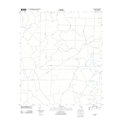
2012 Map of Day NW
USGS Topo · Published 2012About this map
The Fenholloway River meanders through the southeastern portion of this landscape in Taylor County, defining the drainage patterns of an area dominated by rural road networks and utility infrastructure. A grid of named thoroughfares like W Boundary Rd, S Bound Rd, and Boysenberry Rd suggests a highly organized partition of the land, likely tied to regional timber or agricultural interests. Industrial footprints are visible through the prominence of the Gasline Rd and Power Line Rd corridors that bisect the territory. This 2012 survey captures the area's development through family and descriptive road names, such as Jeffery Rich Rd and Honey Bee Rd, which provide specific points of reference for local historians and genealogists tracking land use and property boundaries in this part of North Florida.
Find a feature on this map
28 named features on this map. Tap any name to fly to it.
Don’t see what you’re looking for? This feature index may not catch every label — zoom into the map to look around manually.
Map Details
Editions of this 2012 Day NW Map
This is the sole edition of this map. No revisions or reprints were ever made.
Other maps of this area

1954 · Fenholloway
USGS Topo · 1:24,000

1954 · Day SE
USGS Topo · 1:24,000

1954 · Day
USGS Topo · 1:24,000

1954 · Boyd
USGS Topo · 1:24,000

1954 · Day NW
USGS Topo · 1:24,000

1954 · Valdosta
USGS Topo · 1:250,000

1955 · Perry
USGS Topo · 1:24,000

1955 · Greenville SE
USGS Topo · 1:24,000

1958 · Valdosta
USGS Topo · 1:250,000

1958 · Madison SW
USGS Topo · 1:24,000