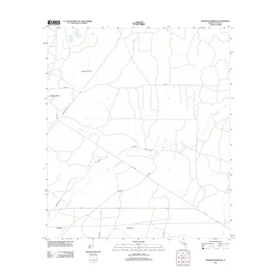
2012 Map of Johnson Hammock
USGS Topo · Published 2012About this map
Johnson Hammock defines the northern reaches of this Taylor County landscape, where the coastal lowlands of the Big Bend region meet an intricate network of local roads and watercourses. The drainage of the Econfina River serves as a central geographic anchor, meandering through a terrain marked by small settlements like Cabbage Grove and Waylonzo. In the southern portion of the quadrangle, the community of Econfina sits near the river's path, reflecting the traditional rural settlement patterns of Florida’s panhandle. The map reveals a high density of secondary routes, including Buckeye Rd and Loughridge Rd, which connect these isolated locales. Water features such as Page Cr and Regular Cr further detail the hydrology of this area, illustrating how the land is segmented by small creeks and the primary river channel before it reaches the Gulf.
Find a feature on this map
17 named features on this map. Tap any name to fly to it.
Don’t see what you’re looking for? This feature index may not catch every label — zoom into the map to look around manually.
Map Details
Editions of this 2012 Johnson Hammock Map
This is the sole edition of this map. No revisions or reprints were ever made.
Other maps of this area

1952 · Secotan
USGS Topo · 1:24,000

1954 · Johnson Hammock
USGS Topo · 1:24,000

1954 · Hampton Springs
USGS Topo · 1:24,000

1954 · Secotan
USGS Topo · 1:24,000

1954 · Valdosta
USGS Topo · 1:250,000

1955 · Snipe Island
USGS Topo · 1:24,000

1955 · Shady Grove
USGS Topo · 1:24,000

1955 · Nutall Rise
USGS Topo · 1:24,000

1955 · Lamont SE
USGS Topo · 1:24,000

1955 · Manlin Hammock
USGS Topo · 1:24,000