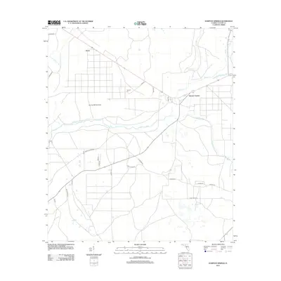
2012 Map of Hampton Springs
USGS Topo · Published 2012About this map
Hampton Springs and the small settlement of Roach serve as the primary landmarks in this coastal-adjacent Florida landscape. The area is defined by a complex network of waterways, most notably the Fenholloway River which winds through the center of the terrain. Local history and genealogy are anchored by features like Poorspot Cem and the distinctive Thomas Mill Hammock.
Find a feature on this map
28 named features on this map. Tap any name to fly to it.
Don’t see what you’re looking for? This feature index may not catch every label — zoom into the map to look around manually.
Map Details
Editions of this 2012 Hampton Springs Map
This is the sole edition of this map. No revisions or reprints were ever made.
Other maps of this area

1952 · Secotan
USGS Topo · 1:24,000

1954 · Johnson Hammock
USGS Topo · 1:24,000

1954 · Warrior Swamp
USGS Topo · 1:24,000

1954 · Boyd
USGS Topo · 1:24,000

1954 · Hampton Springs
USGS Topo · 1:24,000

1954 · Secotan
USGS Topo · 1:24,000

1954 · Okefenokee Slough
USGS Topo · 1:24,000

1954 · Gainesville
USGS Topo · 1:250,000

1954 · Valdosta
USGS Topo · 1:250,000

1955 · Perry
USGS Topo · 1:24,000