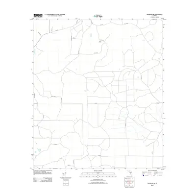
2012 Map of Madison SW
USGS Topo · Published 2012About this map
Sinclair Lookout stands as a primary landmark in this rural landscape of northern Florida, located near the intersection of Hike Lake Rd and Tower Rd. The map reveals a highly structured grid of timber and access roads, such as Bee Tree Rd and Wagon Trail Rd, which cut through the low-lying terrain typical of the Gulf coastal plain. The drainage of Ten Yard Creek meanders through the western portion of the quadrangle, while the southern boundary is defined by Co Line Rd, marking the division between local jurisdictions. The area's naming conventions, including San Pedro and John Green III, hint at a mix of historical land grants and modern familial associations. This 2012 survey by the U.S. Geological Survey provides an intricate look at the land's utility for forestry and rural development in Taylor County.
Find a feature on this map
25 named features on this map. Tap any name to fly to it.
Don’t see what you’re looking for? This feature index may not catch every label — zoom into the map to look around manually.
Map Details
Editions of this 2012 Madison SW Map
This is the sole edition of this map. No revisions or reprints were ever made.
Other maps of this area

1954 · Day
USGS Topo · 1:24,000

1954 · Boyd
USGS Topo · 1:24,000

1954 · Day NW
USGS Topo · 1:24,000

1954 · Greenville NE
USGS Topo · 1:24,000

1954 · Valdosta
USGS Topo · 1:250,000

1955 · Greenville SE
USGS Topo · 1:24,000

1958 · Valdosta
USGS Topo · 1:250,000

1958 · Madison SW
USGS Topo · 1:24,000

1958 · Madison SE
USGS Topo · 1:24,000

1958 · Lee
USGS Topo · 1:24,000