2000s (21st Century) Maps of Freeport, Florida
Explore 20 historic maps of Freeport from the 2000s (21st Century). These maps offer a rare glimpse into what life looked like during the 2000s — showing old roads, neighborhoods, homes, and landmarks that have changed or disappeared over time.
Whether you're researching your family's past, planning a metal detecting trip, or studying how Freeport's landscape evolved across the 2000s, these high-resolution maps are a powerful tool for exploring the history of this region.
- Focus on a specific era: All maps on this page are from the 2000s, giving you a focused view of this time period.
- See what’s changed: Compare century-old streets, trails, and buildings to today's modern landscape using overlays and satellite layers.
- Research with precision: Use these maps for genealogy, historical research, land use analysis, or educational projects.
- View, download, or print: Maps are fully viewable online in high resolution, and can be downloaded or printed for your own records.
Start exploring Freeport's history through authentic maps from the 2000s. This is your window into the past.
Freeport, FL maps
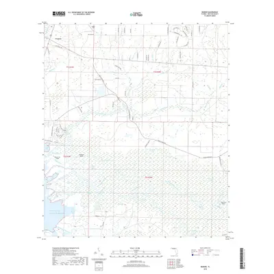
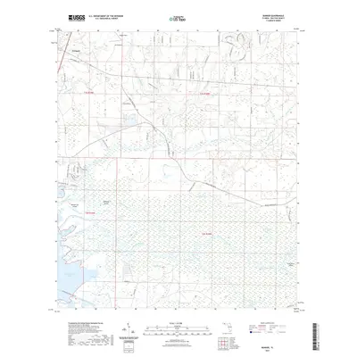
(20)- 2012 Map of Bunker, 2012 Print
 2012 Bunker2012 Print · USGSCovers Freeport, including Bunker, Old Bay View, and other nearby areas
 - 2012 Map of Freeport, 2012 Print
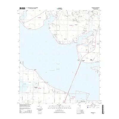
 2012 Freeport2012 Print · USGSCovers Freeport, including La Grange Point, Fluffy Landing, and other nearby areas
 - 2012 Map of Portland, 2012 Print
 2012 Portland2012 Print · USGSCovers Freeport, including New Home, Portland, and other nearby areas
 - 2012 Map of Rock Hill, 2012 Print
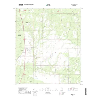
 2012 Rock Hill2012 Print · USGSCovers Freeport, including Rock Hill, Walton County, and other nearby areas
 - 2015 Map of Bunker, 2015 Print
 2015 Bunker2015 Print · USGSCovers Freeport, including Bunker, Old Bay View, and other nearby areas
 - 2015 Map of Portland, 2015 Print
 2015 Portland2015 Print · USGSCovers Freeport, including New Home, Portland, and other nearby areas
 - 2015 Map of Rock Hill, 2015 Print
 2015 Rock Hill2015 Print · USGSCovers Freeport, including Rock Hill, Walton County, and other nearby areas
 - 2015 Map of Freeport, 2015 Print
 2015 Freeport2015 Print · USGSCovers Freeport, including La Grange Point, Fluffy Landing, and other nearby areas
 - 2018 Map of Rock Hill, 2018 Print
 2018 Rock Hill2018 Print · USGSCovers Freeport, including Rock Hill, Walton County, and other nearby areas
 - 2018 Map of Portland, 2018 Print
 2018 Portland2018 Print · USGSCovers Freeport, including New Home, Portland, and other nearby areas
 - 2018 Map of Freeport, 2018 Print
 2018 Freeport2018 Print · USGSCovers Freeport, including La Grange Point, Fluffy Landing, and other nearby areas
 - 2018 Map of Bunker, 2018 Print
 2018 Bunker2018 Print · USGSCovers Freeport, including Bunker, Old Bay View, and other nearby areas
 - 2021 Map of Bunker, 2021 Print
 2021 Bunker2021 Print · USGSCovers Freeport, including Bunker, Old Bay View, and other nearby areas
 - 2021 Map of Rock Hill, 2021 Print
 2021 Rock Hill2021 Print · USGSCovers Freeport, including Rock Hill, Walton County, and other nearby areas
 - 2021 Map of Freeport, 2021 Print
 2021 Freeport2021 Print · USGSCovers Freeport, including La Grange Point, Fluffy Landing, and other nearby areas
 - 2021 Map of Portland, 2021 Print
 2021 Portland2021 Print · USGSCovers Freeport, including New Home, Portland, and other nearby areas
 - 2024 Map of Bunker, 2024 Print
 2024 Bunker2024 Print · USGSWalton County's river delta and coastal forests are captured here in the mid-2020s. Genealogists and local historians can trace family locations through Bunker Cem, Roache Hill Cem, and the winding channels of the Choctawhatchee River.
 - 2024 Map of Rock Hill, 2024 Print
 2024 Rock Hill2024 Print · USGSWalton County near the Choctawhatchee River basin is shown here in modern detail as the town of Freeport grows alongside established rural hubs. Genealogists can locate Bower Cem and Antioch Cem or trace family lands near Rock Hill and Lafayette Creek.
 - 2024 Map of Portland, 2024 Print
 2024 Portland2024 Print · USGSThe Walton County coastline and pine woods are shown here in the 2020s as the area balances military use with growing residential communities. Researchers can trace local lineage at New Home Cem or Hatcher Cem and locate established settlements like Portland and Freeport.
 - 2024 Map of Freeport, 2024 Print
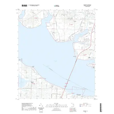
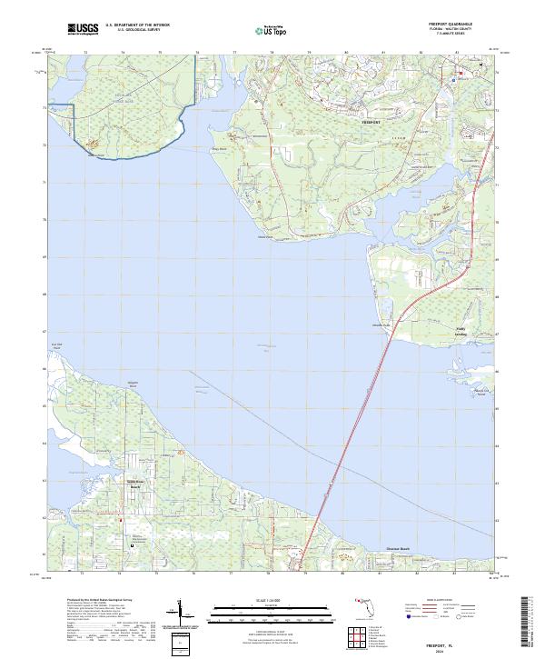 2024 Freeport2024 Print · USGSCoastal Walton County is seen here in the mid-2020s, showing the residential and military development surrounding Choctawhatchee Bay. Researchers can trace local landmarks like Melvin Cem and the landings at Piney Point and Fluffy Landing.
End of results
Showing maps 1-20 of 20
Top cities near Freeport
- Panama City Beach historical maps
- Santa Rosa Beach historical maps
- Miramar Beach historical maps
- DeFuniak Springs historical maps
- Ponce de Leon historical maps
Top neighborhoods of Freeport
Frequently asked questions
- What are the different types of historical maps available for Freeport?
- What is the oldest map of Freeport?
- Where can I purchase historical maps of Freeport for my home or office?
- Where can I download high-res historical maps of Freeport?
- Are there historical topographic maps available for Freeport?
- Is there historical aerial imagery available for Freeport?
- Where are historical maps of Freeport sourced from?