Old Maps of Mossy Head, Florida for Genealogy
Trace your family roots with 13 historic maps of Mossy Head. These high-res maps reveal old neighborhoods, homesites, landmarks, and streets — helping you uncover where your ancestors lived and how the area evolved over time.
- Explore historic neighborhoods: Identify where your relatives may have lived in the 1800s or 1900s.
- Compare maps over time: Trace the changes in streets, buildings, and landmarks for multi-generational research.
- Perfect for genealogy & ancestry research: Used by family historians and researchers to map out lineage and migration.
These maps are an incredible resource for exploring your personal connection to Mossy Head's past.
Mossy Head, FL maps
(13)- 1934 Map of Niceville
 1934 Niceville1934 Print · USGSThe Florida Panhandle in the mid-thirties reveals a landscape of tidal bayous and managed pine forests. Researchers can trace early infrastructure like the Bolton Turpentine Still, State Convict Camp No 12, and the path of the Old Spanish Trail.
 - 1936 Map of Niceville
 1936 Niceville1936 Print · USGSThe Okaloosa and Walton County line area is documented here in the mid-1930s, showing the transition from northern rail towns to coastal settlements. You can trace early family landmarks and infrastructure like Early Cem, Spencer Flats, and the Ramer Lookout Tower.4 unique versions available
 - 1956 Map of Niceville
 1956 Niceville1956 Print · USGSCoastal Okaloosa and Walton Counties are shown in the mid-fifties as the military and aviation presence expanded around the Choctawhatchee Bay. Genealogists and historians can locate early airstrips like Pierce Field, the rail stop at Deerland, and local landmarks like Mt Sinai Ch.3 unique versions available
 - 1957 Map of Pensacola, 1967 Print
 1957 Pensacola1967 Print · USGSThe Florida Panhandle and Alabama coast are seen here at the height of the Cold War, showcasing a unique mix of military aviation and emerging beach tourism. Genealogists and local historians can trace legacy sites like Old Corry Field, the lumber town of Bagdad, and the coastal reaches of Santa Rosa Island.3 unique versions available
 - 1959 Map of Pensacola
 1959 Pensacola1959 Print · USGSThe Florida Panhandle and Alabama coast come alive in this late fifties survey of military aviation and maritime life. Genealogists can trace family roots in Bagdad, Loxley, and Milton while mapping the rails of the Louisville and Nashville.
 - 1960 Map of Pensacola
 1960 Pensacola1960 Print · USGSThe Florida Panhandle and Alabama's eastern shore are shown during a period of rapid military and coastal growth. Genealogists and historians can trace the mid-century footprints of Warrington, the Pensacola NAS (Chevalier), and the Blackwater River timber lands.
 - 1973 Map of Mossy Head, 1976 Print
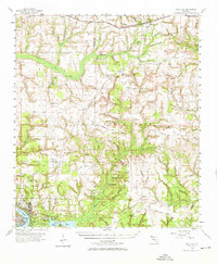
 1973 Mossy Head1976 Print · USGSWalton County's interior was a landscape of military aviation and railroad transit during the mid-seventies. Genealogists and historians can trace the development of Mossy Head and the expansive reach of Eglin Air Force Base near Mt Sinai and Auxiliary Field No 1.2 unique versions available
 - 1978 Map of Crestview, 1982 Print
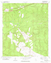
 1978 Crestview1982 Print · USGSThe Florida Panhandle and southern Alabama borderlands appear here in the late seventies as the military and timber industries shaped the landscape. Genealogists can trace family roots through small settlements like Cannon Town or Svea, and locate old sites like Aux Field No 4 (Abandoned).2 unique versions available
 - 2012 Map of Mossy Head, 2012 Print
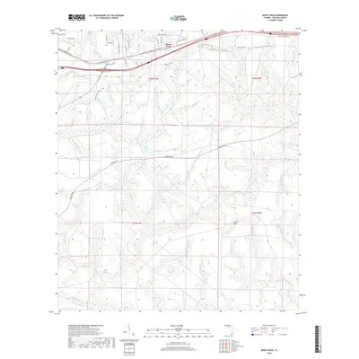
 2012 Mossy Head2012 Print · USGSCovers Mossy Head, including Walton County, United States, and other nearby areas
 - 2015 Map of Mossy Head, 2015 Print
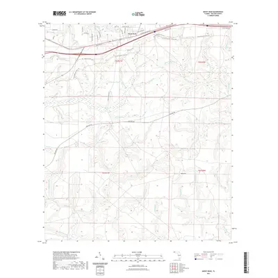
 2015 Mossy Head2015 Print · USGSCovers Mossy Head, including Walton County, United States, and other nearby areas
 - 2018 Map of Mossy Head, 2018 Print
 2018 Mossy Head2018 Print · USGSCovers Mossy Head, including Walton County, United States, and other nearby areas
 - 2021 Map of Mossy Head, 2021 Print
 2021 Mossy Head2021 Print · USGSCovers Mossy Head, including Walton County, United States, and other nearby areas
 - 2024 Map of Mossy Head, 2024 Print
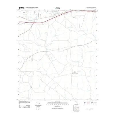
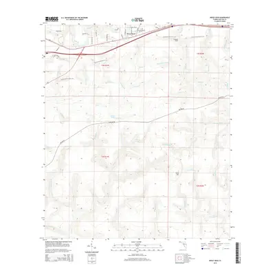
 2024 Mossy Head2024 Print · USGSThe community of Mossy Head and the northern reaches of Eglin Air Force Base are captured here in 2024. Genealogists and local researchers can trace family landmarks like the Mossy Head Cem and the winding course of Alaqua Creek.
End of results
Showing maps 1-13 of 13
Top cities near Mossy Head
- Crestview historical maps
- Valparaiso historical maps
- DeFuniak Springs historical maps
- Freeport historical maps
- Paxton historical maps
- Laurel Hill historical maps
Frequently asked questions
- What are the different types of historical maps available for Mossy Head?
- What is the oldest map of Mossy Head?
- Where can I purchase historical maps of Mossy Head for my home or office?
- Where can I download high-res historical maps of Mossy Head?
- Are there historical topographic maps available for Mossy Head?
- Is there historical aerial imagery available for Mossy Head?
- Where are historical maps of Mossy Head sourced from?