Old Maps of Atkinson, Georgia for Hiking & Exploration
Hike through history with 16 historic maps of Atkinson. Explore old trails, ghost towns, and forgotten backroads — perfect for outdoor adventurers and local explorers.
- Rediscover forgotten places: Map out old mining camps, roads, and footpaths that no longer exist on modern maps.
- Layer with modern tools: Combine with LiDAR or satellite views to plan hikes through historical terrain.
- Made for exploration: Popular among hikers, overlanders, and local history lovers.
Use these maps to find adventure and explore the hidden past of Atkinson.
Atkinson, GA maps
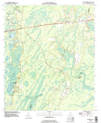
(16)- 1917 Map of Nahunta, 1958 Print
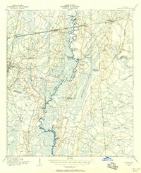 1917 Nahunta1958 Print · USGSSoutheast Georgia's riverine and rail networks are preserved here during the early twentieth century. Researchers can trace the legacy of rural education and transport through Ammons Ferry Bridge, the Jacksonville Post Road, and community anchors like Bixley Chapel.2 unique versions available
 - 1918 Map of Nahunta
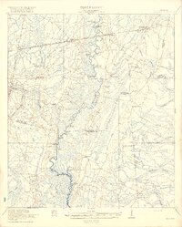 1918 Nahunta1918 Print · USGSSoutheastern Georgia at the end of the Great War reveals a landscape defined by the winding Satilla River and its vast swamps. Researchers can locate early schools and river crossings like Ammons Ferry Bridge, Oak Grove School, and Bixley Chapel.2 unique versions available
 - 1946 Map of Brunswick, 1948 Print
 1946 Brunswick1948 Print · USGSCoastal Georgia in the mid-forties reveals a landscape defined by the Camp Stewart Military Reservation and the sprawling barrier islands. Genealogists and historians can trace the rail-and-river network through inland towns like Ludowici and Jesup, or locate coastal landmarks like the St Simon Light.
 - 1948 Map of Brunswick
 1948 Brunswick1948 Print · USGSCoastal Georgia in the late 1940s is defined here by its labyrinthine barrier islands and the massive footprint of Camp Stewart. Genealogists and historians can trace the rail-tied growth of Jesup and Hinesville or locate coastal landmarks like St Simon Light.
 - 1956 Map of Brunswick, 1968 Print
 1956 Brunswick1968 Print · USGSThe Georgia coast in the mid-twentieth century is a wild expanse of barrier islands and massive river deltas. You can trace the development of the maritime economy and military presence at Brunswick, or locate historic sites like Fort Frederica National Monument and Harris Neck National Wildlife Refuge.2 unique versions available
 - 1961 Map of Brunswick
 1961 Brunswick1961 Print · USGSThe Georgia coast at the start of the 1960s was a landscape of deep tidal marshes and growing military installations. Genealogists and historians can trace rail-linked towns like Limerick Station or explore coastal landmarks from Fort Frederica National Monument to Sapelo Island.
 - 1975 Map of Waynesville, 1987 Print
 1975 Waynesville1987 Print · USGSCoastal Georgia's riverine landscape is captured here in the 1970s, showcasing the winding Satilla River and the settlements of Waynesville and Atkinson. Genealogists can locate family-named sites like Linda Plantation, Ammons Cem, and Wiggins Cem among the swampy lowlands.
 - 1978 Map of Waynesville
 1978 Waynesville1978 Print · USGSCoastal Georgia in the late 1970s reveals a landscape of river-fed swamps and old rail corridors. Genealogists can trace family names through numerous burial sites like Highsmith Cem or locate historic crossings at Ammons Ferry and Atkinson.
 - 1978 Map of Brunswick
 1978 Brunswick1978 Print · USGSThe Georgia coast and its barrier islands are captured in the late 1970s, as I-95 and the rail lines shaped the growth of coastal towns. Genealogists and historians can trace family locations across the islands or locate sites near Fort Stewart, Darien, and Ludowici.2 unique versions available
 - 1981 Map of Brunswick, 1982 Print
 1981 Brunswick1982 Print · USGSThe Georgia coast at the start of the eighties reveals a complex landscape of tidal estuaries, deep-water sounds, and growing island communities. Trace local history through the protected grounds of Fort Frederica National Monument and the old rail stops at Thalmann and Nahunta.3 unique versions available
 - 1993 Map of Waynesville, 1995 Print
 1993 Waynesville1995 Print · USGSBrantley County in the early nineties shows a landscape deeply tied to the Satilla River and its intricate swamp systems. Genealogists and local historians can locate many rural burial sites, including Jackson Cem and Daniels Cem, alongside old routes like Old Jacksonville Road.
 - 2011 Map of Waynesville, 2011 Print
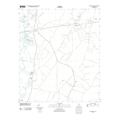 2011 Waynesville2011 Print · USGSCovers Atkinson, including Salter, Waynesville, and other nearby areas
 - 2014 Map of Waynesville, 2014 Print
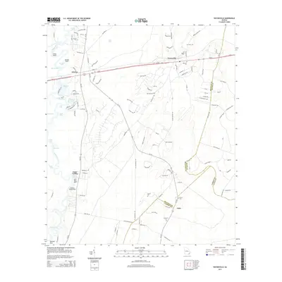 2014 Waynesville2014 Print · USGSCovers Atkinson, including Salter, Waynesville, and other nearby areas
 - 2017 Map of Waynesville, 2017 Print
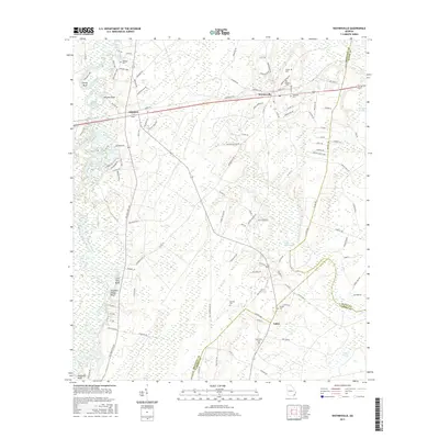 2017 Waynesville2017 Print · USGSCovers Atkinson, including Salter, Waynesville, and other nearby areas
 - 2020 Map of Waynesville, 2020 Print
 2020 Waynesville2020 Print · USGSCovers Atkinson, including Salter, Waynesville, and other nearby areas
 - 2024 Map of Waynesville, 2024 Print
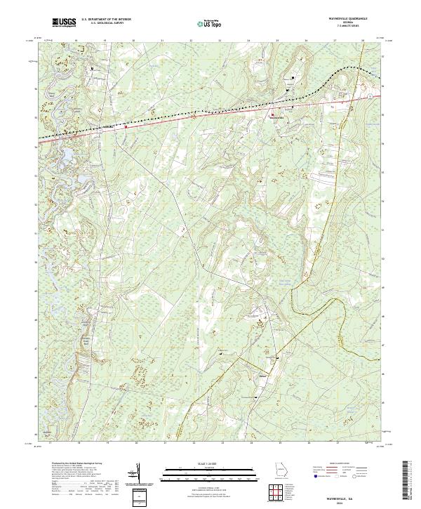 2024 Waynesville2024 Print · USGSCoastal Georgia's riverine lowlands and rural settlements are documented here in the early twenty-first century. Family history researchers can trace local roots through numerous sites like Ammons Cem, Salter, and the river landings near Honey Bluff.
End of results
Showing maps 1-16 of 16
Top cities near Atkinson
Frequently asked questions
- What are the different types of historical maps available for Atkinson?
- What is the oldest map of Atkinson?
- Where can I purchase historical maps of Atkinson for my home or office?
- Where can I download high-res historical maps of Atkinson?
- Are there historical topographic maps available for Atkinson?
- Is there historical aerial imagery available for Atkinson?
- Where are historical maps of Atkinson sourced from?