1900s (20th Century) Maps of Morven, Georgia
Explore 8 historic maps of Morven from the 1900s (20th Century). These maps offer a rare glimpse into what life looked like during the 1900s — showing old roads, neighborhoods, homes, and landmarks that have changed or disappeared over time.
Whether you're researching your family's past, planning a metal detecting trip, or studying how Morven's landscape evolved across the 1900s, these high-resolution maps are a powerful tool for exploring the history of this region.
- Focus on a specific era: All maps on this page are from the 1900s, giving you a focused view of this time period.
- See what’s changed: Compare century-old streets, trails, and buildings to today's modern landscape using overlays and satellite layers.
- Research with precision: Use these maps for genealogy, historical research, land use analysis, or educational projects.
- View, download, or print: Maps are fully viewable online in high resolution, and can be downloaded or printed for your own records.
Start exploring Morven's history through authentic maps from the 1900s. This is your window into the past.
Morven, GA maps
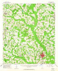
(8)- 1954 Map of Valdosta, 1967 Print
 1954 Valdosta1967 Print · USGSThe South Georgia and North Florida borderlands are captured here in the mid-fifties, showing the deep timber and wetland networks of the coastal plain. Researchers can trace the path of the Atlantic Coast Line through Valdosta or explore the interior of the Okefenokee Swamp.2 unique versions available
 - 1958 Map of Valdosta
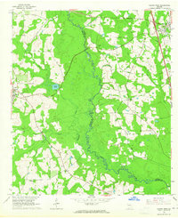
 1958 Valdosta1958 Print · USGSSouth Georgia and North Florida are captured here in the mid-fifties, showing the vast Okefenokee Swamp and the vital timber and rail corridors connecting the two states. Researchers can locate the footprint of Moody Air Force Base, trace the Live Oak Perry and Gulf railroad, or find early community sites like Bakers Mill and Paradise Church.
 - 1959 Map of Valdosta
 1959 Valdosta1959 Print · USGSThe Georgia-Florida borderlands in the mid-fifties reveal a landscape of massive blackwater swamps and emerging military aviation hubs. Genealogists and historians can trace rail-stop towns like Fargo and Stockton or explore the interior reaches of the Okefenokee Swamp and Billys Island.
 - 1961 Map of Quitman, 1964 Print
 1961 Quitman1964 Print · USGSBrooks and Thomas counties are shown in the early sixties as a thriving rail-centered landscape. Genealogists can trace family names and local landmarks through sites like Robinson Cem, Simmon Hill Ch, and the mills at Bowen Millpond.
 - 1961 Map of Hahira West, 1965 Print
 1961 Hahira West1965 Print · USGSBrooks and Lowndes counties in the early sixties reveal a landscape of rural schoolhouses and historic travel routes. Genealogists can locate family burial grounds and congregations like Miller Cem, Second Elizabeth Ch, and the Webb-Miller Sch along the Little River.2 unique versions available
 - 1975 Map of Pebble Hill, 1987 Print
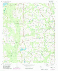 1975 Pebble Hill1987 Print · USGSBrooks County during the mid-seventies shows a landscape of deep-rooted rural communities connected by historic pioneer routes and the regional rail network. Genealogists and historians can trace family sites near Salem Ch, follow the path of the Old Coffee Road, and locate the old Live Oak Perry and South Georgia rail grade.
 - 1978 Map of Pebble Hill
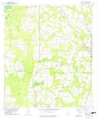 1978 Pebble Hill1978 Print · USGSBrooks County in the late seventies is a landscape of rural congregations and historic transit routes. Genealogists and local historians can trace family ties through St James Cem and numerous country churches, while following the path of the Old Coffee Road.
 - 1981 Map of Valdosta
 1981 Valdosta1981 Print · USGSCrossing the Georgia and Florida border in the early eighties, this survey captures the agricultural and military landscape of the coastal plain. Genealogists and historians can trace the rail-linked growth of Valdosta and Quitman or find rural landmarks like New Hope Church and Lake Miccosukee.
End of results
Showing maps 1-8 of 8
Top cities near Morven
- Valdosta historical maps
- Moultrie historical maps
- Adel historical maps
- Quitman historical maps
- Hahira historical maps
- Sparks historical maps
See more
Frequently asked questions
- What are the different types of historical maps available for Morven?
- What is the oldest map of Morven?
- Where can I purchase historical maps of Morven for my home or office?
- Where can I download high-res historical maps of Morven?
- Are there historical topographic maps available for Morven?
- Is there historical aerial imagery available for Morven?
- Where are historical maps of Morven sourced from?