2020s Maps of Vidette, Georgia
Explore 4 historic maps of Vidette from the 2020s. These maps offer a rare glimpse into what life looked like during the 2020s — showing old roads, neighborhoods, homes, and landmarks that have changed or disappeared over time.
Whether you're researching your family's past, planning a metal detecting trip, or studying how Vidette's landscape evolved across the 2020s, these high-resolution maps are a powerful tool for exploring the history of this region.
- Focus on a specific era: All maps on this page are from the 2020s, giving you a focused view of this time period.
- See what’s changed: Compare century-old streets, trails, and buildings to today's modern landscape using overlays and satellite layers.
- Research with precision: Use these maps for genealogy, historical research, land use analysis, or educational projects.
- View, download, or print: Maps are fully viewable online in high resolution, and can be downloaded or printed for your own records.
Start exploring Vidette's history through authentic maps from the 2020s. This is your window into the past.
Vidette, GA maps
(4)- 2020 Map of Gough, 2020 Print
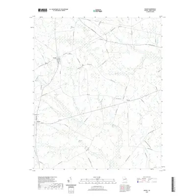 2020 Gough2020 Print · USGSCovers Vidette, including Drone, Gough, and other nearby areas
 - 2020 Map of Kellys Pond, 2020 Print
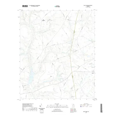 2020 Kellys Pond2020 Print · USGSCovers Vidette, including Ellis Plantation, Burke County, and other nearby areas
 - 2024 Map of Gough, 2024 Print
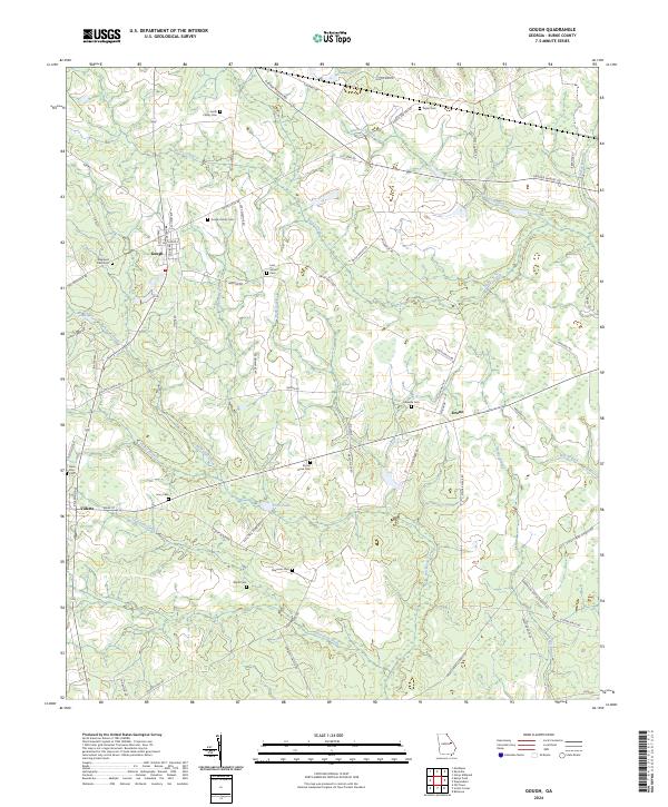 2024 Gough2024 Print · USGSThe rural expanses of Burke County come into focus in this contemporary survey of its traditional farming communities and family settlements. Researchers can trace ancestral locations through a high density of burial sites such as Rose Dhu Cem, Gaseville Cem, and the Sheppard Place Cem.
 - 2024 Map of Kellys Pond, 2024 Print
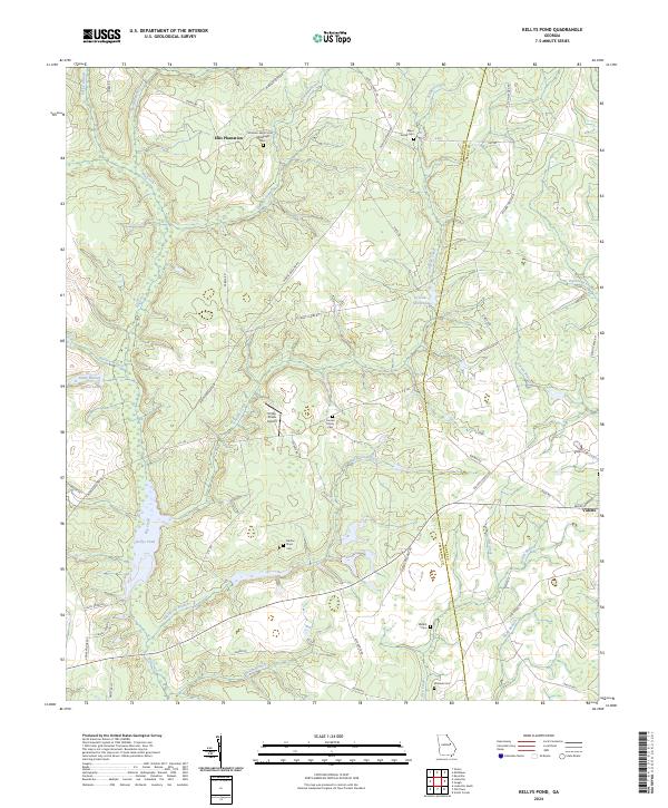 2024 Kellys Pond2024 Print · USGSThe borderlands of Jefferson and Burke counties are captured in this recent survey, showcasing a landscape of timbered branches and rural homesteads. Genealogists can locate family burial sites like Boatwright Cem and Nesbitt Cem near the town of Vidette.
End of results
Showing maps 1-4 of 4
Top cities near Vidette
- Augusta historical maps
- Waynesboro historical maps
- Hephzibah historical maps
- Louisville historical maps
- Wadley historical maps
- Wrens historical maps
See more
Frequently asked questions
- What are the different types of historical maps available for Vidette?
- What is the oldest map of Vidette?
- Where can I purchase historical maps of Vidette for my home or office?
- Where can I download high-res historical maps of Vidette?
- Are there historical topographic maps available for Vidette?
- Is there historical aerial imagery available for Vidette?
- Where are historical maps of Vidette sourced from?