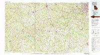
Old Maps of Vidette, Georgia for Metal Detecting
Plan your next treasure hunt with 22 historic maps of Vidette. Find old homesites, ghost towns, trails, and gathering spots that may be lost to time — perfect for identifying promising metal detecting locations.
- Locate forgotten sites: Uncover places like long-lost settlements, abandoned rail lines, or gathering spots.
- Plan better hunts: Use map overlays combined with LiDAR or satellite views to narrow in on historically rich areas.
- Made for detectorists: Thousands of hobbyists use these maps to discover relics, coins, and hidden history.
Use these historic maps to boost your research and find new opportunities beneath the surface of Vidette.
Vidette, GA maps
(22)- 1919 Map of Gough
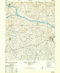
 1919 Gough1919 Print · USGSEastern Georgia's rural landscape is captured here in the years following the Great War, showing a territory defined by railroad junctions and small community centers. Genealogists can locate family landmarks such as Boggs Academy, Hopeful Church, and the depot at Gough.3 unique versions available
 - 1920 Map of Stapleton
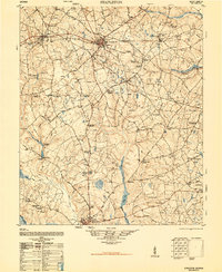
 1920 Stapleton1920 Print · USGSEastern Georgia during the early twentieth century was a landscape of bustling cotton-belt rail towns and rural school districts. Genealogists and historians can trace family locations near landmarks like Harts Grove Church, Clarks Mill, and Wrens Sta.3 unique versions available
 - 1948 Map of Stapleton
 1948 Stapleton1948 Print · USGSJefferson County and the surrounding countryside appear in detail during the late 1940s, showing a landscape of rail junctions and rural homesteads. Genealogists and historians can trace family locations through sites like Ellis Plantation, Ponder Family Cemetery, and the old Wrens Station.2 unique versions available
 - 1948 Map of Gough
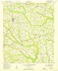
 1948 Gough1948 Print · USGSMid-century Burke County is a landscape of rural schoolhouses and family-named mills as the post-war era began. Genealogists can trace family roots through sites like Boggs Academy, Noah's Ark Church & Cem, and Dyes Crossroads.2 unique versions available
 - 1950 Map of Gough
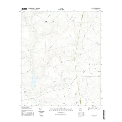
 1950 Gough1950 Print · USGSMid-century Burke County, Georgia, shows a rural landscape of family farmsteads and railroad-linked hamlets. Genealogists can trace family footprints at the Gough Family Cemetery or locate community landmarks like Noah's Ark Church and the L D Hill School.3 unique versions available
 - 1950 Map of Kellys Pond
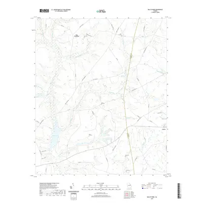
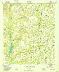 1950 Kellys Pond1950 Print · USGSThe Jefferson and Burke county line comes alive in the early post-war years, showcasing a rural landscape of plantations and family farmsteads. Researchers can locate early schools and cemeteries like Spies Hill School, Lockhart School, and the Rose Dhu Cemetery.2 unique versions available
 - 1953 Map of Athens, 1966 Print
 1953 Athens1966 Print · USGSGeorgia's Piedmont and Savannah River borderlands come alive in this mid-century survey of the region surrounding Athens and Augusta. Trace the rail-and-river economy through the Georgia RR and landmarks like the Fort Gordon Military Reservation.3 unique versions available
 - 1958 Map of Athens
 1958 Athens1958 Print · USGSNorth-central Georgia and the Savannah River valley are captured in the late fifties, showing the region as the new reservoirs were filling. Researchers can trace historic rail lines like the Georgia RR and locate rural landmarks such as Social Circle, Graves Mountain, and the Fort Gordon Military Reservation.
 - 1959 Map of Athens
 1959 Athens1959 Print · USGSNortheast Georgia and the South Carolina borderlands appear here in the mid-fifties, during a decade of infrastructure growth. Genealogists and historians can trace the rail-and-river geography of towns like Social Circle, the sprawl of Fort Gordon Military Reservation, and the newly formed Clark Hill Reservoir.
 - 1963 Map of Athens
 1963 Athens1963 Print · USGSGeorgia's Piedmont and the Savannah River valley are captured in the early sixties as major reservoirs and military installations reshaped the landscape. Researchers can trace the development of Clark Hill Reservoir, locate the Fort Gordon Military Reservation, and find historic towns like Social Circle and Eatonton.
 - 1981 Map of Thomson, 1982 Print
 1981 Thomson1982 Print · USGSEast Georgia in the early eighties shows a transition from the urban fringes of Augusta to the deep river valleys of the Savannah River and Ogeechee River. Genealogists and historians can trace rail-side communities like Boneville, Camak, and Mesena along the historic Georgia railroad line.
 - 1988 Map of Athens
 1988 Athens1988 Print · USGSThe Georgia Piedmont and South Carolina borderlands appear in the late eighties as a landscape of vast reservoirs and growing towns. Researchers can trace the legacy of the Georgia RR connecting Athens and Augusta, or locate landmarks within Oconee National Forest.
 - 2011 Map of Gough, 2011 Print
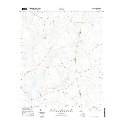
 2011 Gough2011 Print · USGSCovers Vidette, including Drone, Gough, and other nearby areas
 - 2011 Map of Kellys Pond, 2011 Print
 2011 Kellys Pond2011 Print · USGSCovers Vidette, including Ellis Plantation, Burke County, and other nearby areas
 - 2014 Map of Gough, 2014 Print
 2014 Gough2014 Print · USGSCovers Vidette, including Drone, Gough, and other nearby areas
 - 2014 Map of Kellys Pond, 2014 Print
 2014 Kellys Pond2014 Print · USGSCovers Vidette, including Ellis Plantation, Burke County, and other nearby areas
 - 2017 Map of Gough, 2017 Print
 2017 Gough2017 Print · USGSCovers Vidette, including Drone, Gough, and other nearby areas
 - 2017 Map of Kellys Pond, 2017 Print
 2017 Kellys Pond2017 Print · USGSCovers Vidette, including Ellis Plantation, Burke County, and other nearby areas
 - 2020 Map of Gough, 2020 Print
 2020 Gough2020 Print · USGSCovers Vidette, including Drone, Gough, and other nearby areas
 - 2020 Map of Kellys Pond, 2020 Print
 2020 Kellys Pond2020 Print · USGSCovers Vidette, including Ellis Plantation, Burke County, and other nearby areas
 - 2024 Map of Gough, 2024 Print
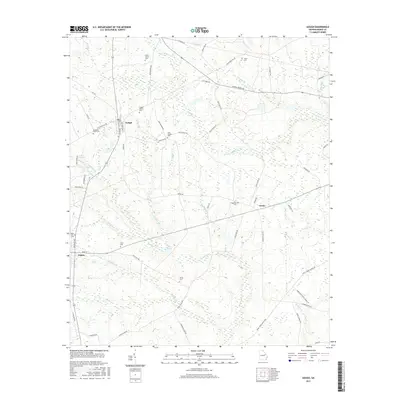
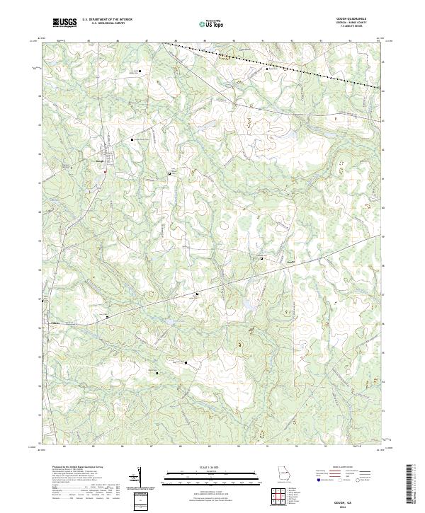 2024 Gough2024 Print · USGSThe rural expanses of Burke County come into focus in this contemporary survey of its traditional farming communities and family settlements. Researchers can trace ancestral locations through a high density of burial sites such as Rose Dhu Cem, Gaseville Cem, and the Sheppard Place Cem.
 - 2024 Map of Kellys Pond, 2024 Print
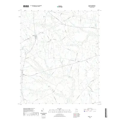
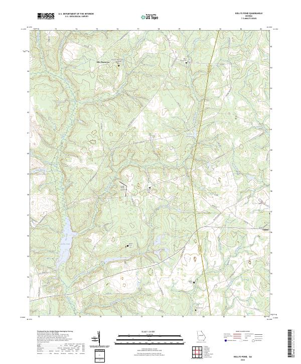 2024 Kellys Pond2024 Print · USGSThe borderlands of Jefferson and Burke counties are captured in this recent survey, showcasing a landscape of timbered branches and rural homesteads. Genealogists can locate family burial sites like Boatwright Cem and Nesbitt Cem near the town of Vidette.
End of results
Showing maps 1-22 of 22
Top cities near Vidette
- Augusta historical maps
- Waynesboro historical maps
- Hephzibah historical maps
- Louisville historical maps
- Wadley historical maps
- Wrens historical maps
See more
Frequently asked questions
- What are the different types of historical maps available for Vidette?
- What is the oldest map of Vidette?
- Where can I purchase historical maps of Vidette for my home or office?
- Where can I download high-res historical maps of Vidette?
- Are there historical topographic maps available for Vidette?
- Is there historical aerial imagery available for Vidette?
- Where are historical maps of Vidette sourced from?