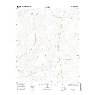
2014 Map of Kellys Pond
USGS Topo · Published 2014About this map
Ellis Plantation anchors the northern portion of this landscape, where the border of Jefferson and Burke counties cuts through a terrain defined by branching creeks and family landholdings. This 2014 survey captures a rural Georgia environment where water resources like Greener Mill Pond and Kellys Pond once served as central nodes for local industry and recreation.
Find a feature on this map
55 named features on this map. Tap any name to fly to it.
Don’t see what you’re looking for? This feature index may not catch every label — zoom into the map to look around manually.
Map Details
Editions of this 2014 Kellys Pond Map
This is the sole edition of this map. No revisions or reprints were ever made.
Other maps of this area

1919 · Gough
USGS Topo · 1:62,500

1920 · Stapleton
USGS Topo · 1:62,500

1948 · Stapleton
USGS Topo · 1:62,500

1948 · Gough
USGS Topo · 1:62,500

1948 · Louisville
USGS Topo · 1:24,000

1950 · Louisville
USGS Topo · 1:24,000
1950 · Gough
USGS Topo · 1:24,000

1950 · Wrens
USGS Topo · 1:24,000
1950 · Keysville
USGS Topo · 1:24,000

1950 · Matthews
USGS Topo · 1:24,000