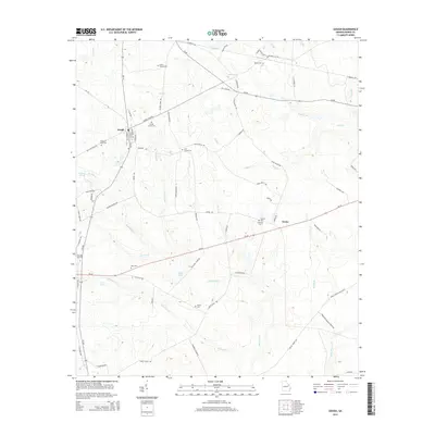
2014 Map of Gough
USGS Topo · Published 2014About this map
The settlement of Gough serves as a central hub for this rural Burke County landscape, where the intersection of Ga-305 and Ga-80 organizes the surrounding agricultural and timber lands. This 2014 survey reveals a dense concentration of lineage markers, notably the Gough Family Cem and the Smith Family Cem, alongside several others like the Joan Society Cem and Sheppard Place Cem. These family burial grounds, scattered across the uplands between Rocky Cr and Buckhead Cr, offer a clear map of the area's long-term land ownership and community clusters.
Find a feature on this map
72 named features on this map. Tap any name to fly to it.
Don’t see what you’re looking for? This feature index may not catch every label — zoom into the map to look around manually.
Map Details
Editions of this 2014 Gough Map
This is the sole edition of this map. No revisions or reprints were ever made.
Other maps of this area

1919 · Gough
USGS Topo · 1:62,500

1920 · Stapleton
USGS Topo · 1:62,500

1948 · Stapleton
USGS Topo · 1:62,500

1948 · Gough
USGS Topo · 1:62,500
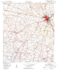
1950 · Waynesboro
USGS Topo · 1:24,000
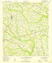
1950 · Gough
USGS Topo · 1:24,000
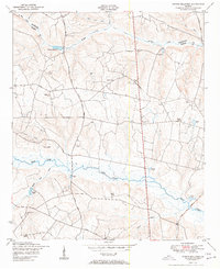
1950 · Storys Millpond
USGS Topo · 1:24,000
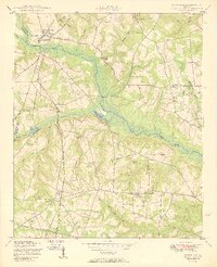
1950 · Keysville
USGS Topo · 1:24,000

1950 · Matthews
USGS Topo · 1:24,000

1950 · Kellys Pond
USGS Topo · 1:24,000