Old Maps of Waynesboro, Georgia for Metal Detecting
Plan your next treasure hunt with 29 historic maps of Waynesboro. Find old homesites, ghost towns, trails, and gathering spots that may be lost to time — perfect for identifying promising metal detecting locations.
- Locate forgotten sites: Uncover places like long-lost settlements, abandoned rail lines, or gathering spots.
- Plan better hunts: Use map overlays combined with LiDAR or satellite views to narrow in on historically rich areas.
- Made for detectorists: Thousands of hobbyists use these maps to discover relics, coins, and hidden history.
Use these historic maps to boost your research and find new opportunities beneath the surface of Waynesboro.
Waynesboro, GA maps
(29)- 1919 Map of Gough
 1919 Gough1919 Print · USGSEastern Georgia's rural landscape is captured here in the years following the Great War, showing a territory defined by railroad junctions and small community centers. Genealogists can locate family landmarks such as Boggs Academy, Hopeful Church, and the depot at Gough.3 unique versions available
 - 1920 Map of Greens Cut
 1920 Greens Cut1920 Print · USGSBurke County, Georgia, and the Savannah River valley are captured here just after the Great War during a period of peak rural density. Genealogists can locate dozens of country institutions like Daniel Grove Church, Red Hill School, and the Old Church Sta along the Central of Georgia line.3 unique versions available
 - 1943 Map of Greens Cut
 1943 Greens Cut1943 Print · USGSEastern Georgia during the early 1940s remained a landscape of river landings and rural railroad stops. Genealogists can trace family roots through numerous local landmarks like Old Church Sta, Hatchers Mill, and the settlement of Telfairville.
 - 1943 Map of Augusta East
 1943 Augusta East1943 Print · USGSThe Savannah River valley along the Georgia and South Carolina border is shown here in the early 1940s, just before significant regional changes. Genealogists can trace hundreds of rural landmarks, including Ellenton, the Downer Institute, and several mills like Hatchers Mill.
 - 1948 Map of Gough
 1948 Gough1948 Print · USGSMid-century Burke County is a landscape of rural schoolhouses and family-named mills as the post-war era began. Genealogists can trace family roots through sites like Boggs Academy, Noah's Ark Church & Cem, and Dyes Crossroads.2 unique versions available
 - 1950 Map of Waynesboro
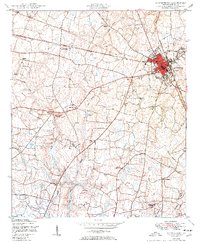 1950 Waynesboro1950 Print · USGSWaynesboro and the surrounding Burke County countryside are shown here at the start of the 1950s. Genealogists can trace a unique network of dual-purpose rural sites like Beechwood Church and School and family landmarks such as Gray Family Cemetery.2 unique versions available
 - 1953 Map of Athens, 1966 Print
 1953 Athens1966 Print · USGSGeorgia's Piedmont and Savannah River borderlands come alive in this mid-century survey of the region surrounding Athens and Augusta. Trace the rail-and-river economy through the Georgia RR and landmarks like the Fort Gordon Military Reservation.3 unique versions available
 - 1954 Map of Augusta
 1954 Augusta1954 Print · USGSThe Savannah River valley and South Carolina Midlands are captured here during a period of post-war growth. Researchers can trace the rail-and-river economy through the Southern RR corridor and locate historic settlements like Aiken, Orangeburg, and Sumter.
 - 1957 Map of Augusta, 1966 Print
 1957 Augusta1966 Print · USGSThe Savannah River and Santee basins are captured here during a period of massive military and industrial expansion in the late fifties. Genealogists can trace family footprints across Four Hole Swamp or near the Savannah River Plant.3 unique versions available
 - 1958 Map of Augusta
 1958 Augusta1958 Print · USGSThe borderlands between Georgia and South Carolina come alive in the 1950s, showing the early footprint of the Savannah River Plant. Genealogists and historians can trace rail-dependent towns and rural landmarks from Orangeburg to the Fort Jackson Military Reservation.
 - 1958 Map of Athens
 1958 Athens1958 Print · USGSNorth-central Georgia and the Savannah River valley are captured in the late fifties, showing the region as the new reservoirs were filling. Researchers can trace historic rail lines like the Georgia RR and locate rural landmarks such as Social Circle, Graves Mountain, and the Fort Gordon Military Reservation.
 - 1959 Map of Athens
 1959 Athens1959 Print · USGSNortheast Georgia and the South Carolina borderlands appear here in the mid-fifties, during a decade of infrastructure growth. Genealogists and historians can trace the rail-and-river geography of towns like Social Circle, the sprawl of Fort Gordon Military Reservation, and the newly formed Clark Hill Reservoir.
 - 1961 Map of Augusta
 1961 Augusta1961 Print · USGSThe South Carolina lowcountry and CSRA appear here in the early sixties, during a period of massive military and industrial growth. Researchers can trace the development of the Savannah River Plant or locate legacy landmarks like Nelson Ferry and Magnolia Cemetery.2 unique versions available
 - 1962 Map of Augusta
 1962 Augusta1962 Print · USGSThe South Carolina and Georgia borderlands are seen here in the early sixties, showing the rise of the Savannah River Plant and the expansion of Fort Jackson. Researchers can trace old rail lines like the Southern Railway and find landmarks such as St. Pauls Church or the Santee Canal.
 - 1963 Map of Athens
 1963 Athens1963 Print · USGSGeorgia's Piedmont and the Savannah River valley are captured in the early sixties as major reservoirs and military installations reshaped the landscape. Researchers can trace the development of Clark Hill Reservoir, locate the Fort Gordon Military Reservation, and find historic towns like Social Circle and Eatonton.
 - 1964 Map of Idlewood, 1965 Print
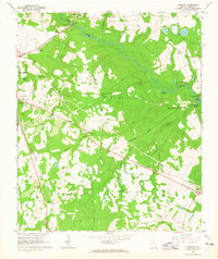 1964 Idlewood1965 Print · USGSBurke County during the mid-1960s reveals a landscape of rural school-and-church centers and winding creek bottoms. Genealogists and local researchers can trace the locations of Watkinville Ch, the settlement of Alexander, and the path of the Central Georgia railroad.2 unique versions available
 - 1981 Map of Thomson, 1982 Print
 1981 Thomson1982 Print · USGSEast Georgia in the early eighties shows a transition from the urban fringes of Augusta to the deep river valleys of the Savannah River and Ogeechee River. Genealogists and historians can trace rail-side communities like Boneville, Camak, and Mesena along the historic Georgia railroad line.
 - 1982 Map of Barnwell, 1984 Print
 1982 Barnwell1984 Print · USGSCoastal plain settlements and a massive nuclear infrastructure meet in South Carolina during the early eighties. Genealogists and historians can trace rail-town development along the Southern line and explore the footprint of the Savannah River Plant Department of Energy.
 - 1988 Map of Athens
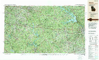 1988 Athens1988 Print · USGSThe Georgia Piedmont and South Carolina borderlands appear in the late eighties as a landscape of vast reservoirs and growing towns. Researchers can trace the legacy of the Georgia RR connecting Athens and Augusta, or locate landmarks within Oconee National Forest.
 - 2011 Map of Idlewood, 2011 Print
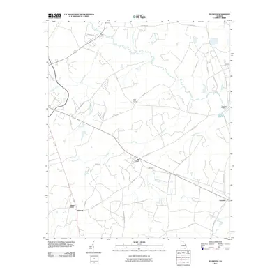 2011 Idlewood2011 Print · USGSRural Burke County in the early twenty-first century remains defined by its historic creek crossings and quiet settlements. Genealogists and local historians can locate Old Church Cemetery, Thomas Station, and landmarks like Cates Bridge across Brier Creek.
 - 2011 Map of Waynesboro, 2011 Print
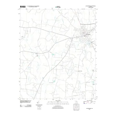 2011 Waynesboro2011 Print · USGSWaynesboro and the surrounding Burke County countryside are captured in this recent survey of east-central Georgia. Genealogists and local researchers can trace family-named sites like the Gray Family Cemetery or find rural landmarks such as Hatchers Store.
 - 2014 Map of Idlewood, 2014 Print
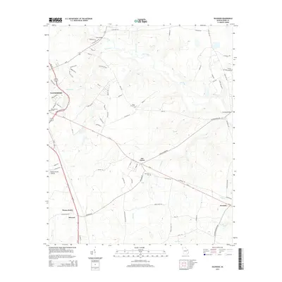 2014 Idlewood2014 Print · USGSWaynesboro and the surrounding Burke County countryside are captured here in the early twenty-first century, showing a mix of growing town infrastructure and deep-rooted rural settlements. Genealogists can trace family landmarks like Botsford Cem, Old Church, and Thomas Station amidst the creek branches that feed into Brier Creek.
 - 2014 Map of Waynesboro, 2014 Print
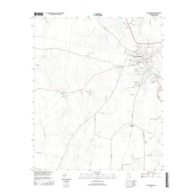 2014 Waynesboro2014 Print · USGSWaynesboro and the surrounding Burke County countryside are shown here in the early twenty-first century as the landscape balances its agricultural roots with modern development. Genealogists can trace family landmarks like the Gray Family Cem and Quinnie Cem or locate the site of Hatchers Store.
 - 2017 Map of Idlewood, 2017 Print
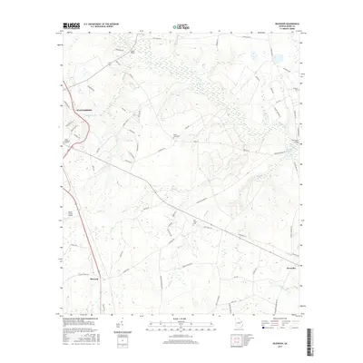 2017 Idlewood2017 Print · USGSBurke County remains a landscape of historic family lands and creek-side settlements in the late twenty-first century. Researchers can trace ancestral roots at Old Church Cem and Botsford Cem or follow the waters of Brier Creek past Hatchers Millpond.
 - 2017 Map of Waynesboro, 2017 Print
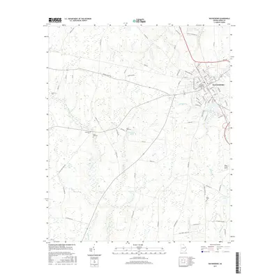 2017 Waynesboro2017 Print · USGSWaynesboro and the surrounding Burke County countryside are captured here in the late twenty-teens, showing the intersection of a classic Georgia town and its rural outskirts. Researchers can trace family history through several local burial grounds, including Waynesboro Confederate Memorial Cem, Applewhite Cem, and Bynes Grove Cem.
Showing maps 1-25 of 29
Top cities near Waynesboro
Frequently asked questions
- What are the different types of historical maps available for Waynesboro?
- What is the oldest map of Waynesboro?
- Where can I purchase historical maps of Waynesboro for my home or office?
- Where can I download high-res historical maps of Waynesboro?
- Are there historical topographic maps available for Waynesboro?
- Is there historical aerial imagery available for Waynesboro?
- Where are historical maps of Waynesboro sourced from?