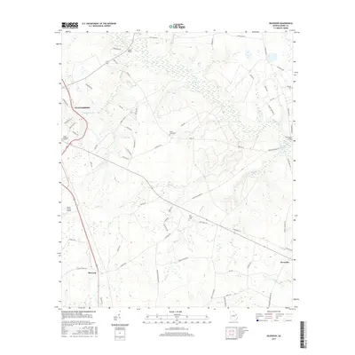
2017 Map of Idlewood
USGS Topo · Published 2017About this map
Brier Creek defines the eastern landscape of this corner of Burke County, winding past Thompson Bridge and the marshy edges of Hatchers Millpond. To the west, the city of Waynesboro borders the area, with the Burke County Airport and Burke Memorial Gardens situated along the highway corridors. The map details a rural landscape transitioning into the settlements of Idlewood and Alexander, connected by a network of family-named roads like Asbury Church Rd and Alexander Munnerlyn Rd.
Find a feature on this map
70 named features on this map. Tap any name to fly to it.
Don’t see what you’re looking for? This feature index may not catch every label — zoom into the map to look around manually.
Map Details
Editions of this 2017 Idlewood Map
This is the sole edition of this map. No revisions or reprints were ever made.
Other maps of this area

1919 · Gough
USGS Topo · 1:62,500

1920 · Millen
USGS Topo · 1:62,500

1920 · Greens Cut
USGS Topo · 1:62,500

1943 · Greens Cut
USGS Topo · 1:62,500

1943 · Millen
USGS Topo · 1:62,500

1943 · Augusta East
USGS Topo · 1:125,000

1943 · Millen
USGS Topo · 1:125,000

1947 · Savannah
USGS Topo · 1:250,000

1948 · Savannah
USGS Topo · 1:250,000

1948 · Gough
USGS Topo · 1:62,500