2020s Maps of Butts County, Georgia
Explore 16 historic maps of Butts County from the 2020s. These maps offer a rare glimpse into what life looked like during the 2020s — showing old roads, neighborhoods, homes, and landmarks that have changed or disappeared over time.
Whether you're researching your family's past, planning a metal detecting trip, or studying how Butts County's landscape evolved across the 2020s, these high-resolution maps are a powerful tool for exploring the history of this region.
- Focus on a specific era: All maps on this page are from the 2020s, giving you a focused view of this time period.
- See what’s changed: Compare century-old streets, trails, and buildings to today's modern landscape using overlays and satellite layers.
- Research with precision: Use these maps for genealogy, historical research, land use analysis, or educational projects.
- View, download, or print: Maps are fully viewable online in high resolution, and can be downloaded or printed for your own records.
Start exploring Butts County's history through authentic maps from the 2020s. This is your window into the past.
Butts County, GA maps
(16)- 2020 Map of Stewart, 2020 Print
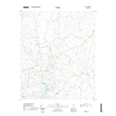 2020 Stewart2020 Print · USGSThe Alcovy River and Jackson Lake shoreline come into sharp focus in this recent survey of the Newton and Jasper county line. Researchers can trace numerous family burial grounds including Newton Factory Cem and Bates Cem alongside landmarks like Factory Shoals.
 - 2020 Map of Worthville, 2020 Print
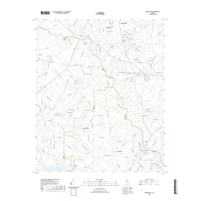 2020 Worthville2020 Print · USGSNorth Georgia’s rural landscape comes into focus here during the early twenty-first century, centered on the historic crossroads of Fincherville and Worthville. Researchers can locate family landmarks like County Line Baptist Church Cem and old river crossings at Manns Bridge.
 - 2020 Map of Lloyd Shoals Dam, 2020 Print
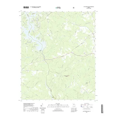 2020 Lloyd Shoals Dam2020 Print · USGSThe waters of Jackson Lake and the Ocmulgee River meet in this Georgia landscape near the start of the twenty-first century. Genealogists can trace local roots through numerous sites like Mount Zion Cem, Minter Cem, and the community of Bethel.
 - 2020 Map of Indian Springs, 2020 Print
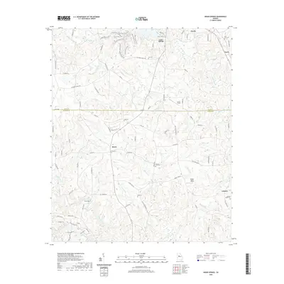 2020 Indian Springs2020 Print · USGSButts and Monroe counties are captured here in the early twenty-first century as the landscape maintains its traditional rural character. Genealogists and historians can trace family roots through several local landmarks like China Grove Cem, Pleasant Grove Cem, and the community of Blount.
 - 2020 Map of Jackson, 2020 Print
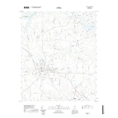 2020 Jackson2020 Print · USGSJackson and the surrounding Butts County landscape appear here in recent years, showing the interplay between town life and the shoreline of Jackson Lake. Researchers can locate several historic family burial grounds like Watkins Cem and McMichael Cem, or trace the roads connecting Flovilla and Stark.
 - 2020 Map of Locust Grove, 2020 Print
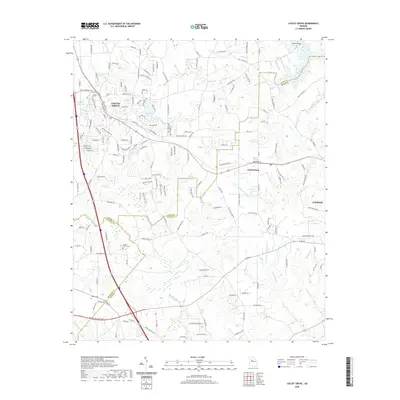 2020 Locust Grove2020 Print · USGSLocust Grove and its surrounding county borders are shown here in the contemporary era as they balance residential growth with rural heritage. Genealogists and local historians can locate several family landmarks and burial sites, including the Henley - Heflin Cemetery and the Tussahaw River valley.
 - 2020 Map of High Falls, 2020 Print
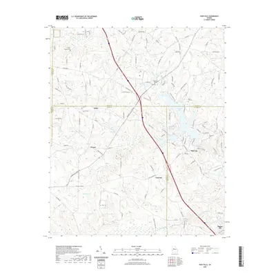 2020 High Falls2020 Print · USGSThe Towaliga River corridor comes into focus in this recent survey of the Georgia piedmont. Researchers can trace rural lineages through the Providence Cem and Mount Zion Cem or locate old industrial sites like Higgins Mill.
 - 2020 Map of Berner, 2020 Print
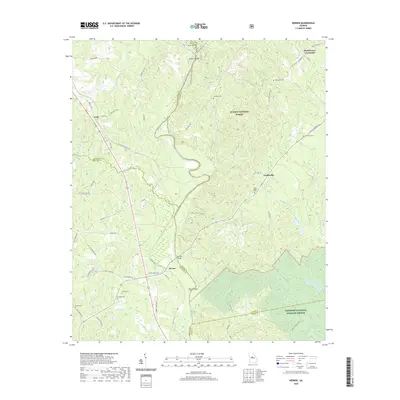 2020 Berner2020 Print · USGSThe Ocmulgee River valley at the meeting point of Monroe, Jasper, and Butts counties remains a landscape of river islands and quiet crossroads. Researchers can trace the rural layout of Berner and Gladesville or locate family sites like Gibson Cem and Holloway Cem.
 - 2024 Map of Berner, 2024 Print
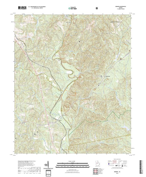 2024 Berner2024 Print · USGSThe Ocmulgee River corridor comes to life in this recent survey of the Jasper and Monroe county border. Genealogists can trace family landmarks and river crossings like Bridges Ferry, Mount Olive Cem, and the crossroads at Berner.
 - 2024 Map of Indian Springs, 2024 Print
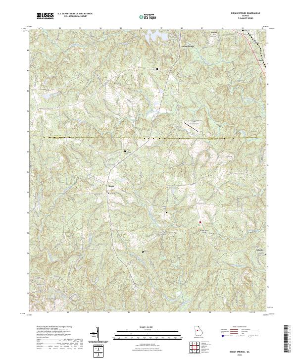 2024 Indian Springs2024 Print · USGSMonroe and Butts Counties are captured here in the early twenty-first century, showing the rural landscape around the Towaliga River. Researchers can trace family history through numerous burial sites like Flovilla Cemetery and Paron Cemetery or locate the quiet crossroads of Blount and Cabaniss.
 - 2024 Map of High Falls, 2024 Print
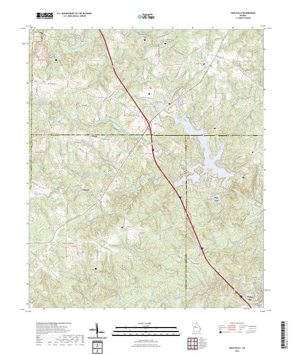 2024 High Falls2024 Print · USGSIn the river-veined country where Butts, Lamar, and Monroe counties meet, this mid-2020s landscape preserves deep roots in Middle Georgia. Researchers can trace historic family names and early rural life through Higgins Mill, Fellowship Presbyterian Church, and the Foster Jester Huddleston Cem.
 - 2024 Map of Locust Grove, 2024 Print
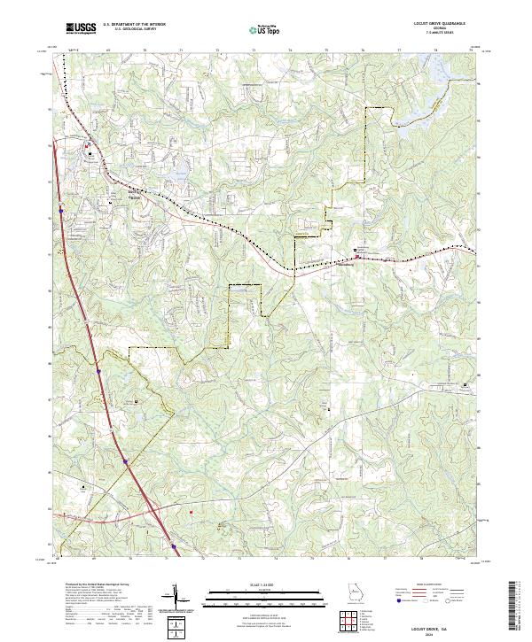 2024 Locust Grove2024 Print · USGSLocust Grove and Jenkinsburg are shown in great detail during the current era of growth across Henry and Butts counties. Family historians can trace local heritage through several burial sites like Henley-Heflin Cem, Bold Springs Cem, and Patrick Cem.
 - 2024 Map of Jackson, 2024 Print
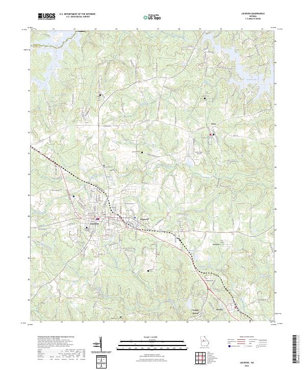 2024 Jackson2024 Print · USGSJackson and its surrounding Butts County communities are shown here in the 2020s, highlighting the intersection of local government and rural landscape. Genealogists can trace family sites at Jackson City Cem, Grier Cem, and the Macedonia Baptist Church Cem.
 - 2024 Map of Worthville, 2024 Print
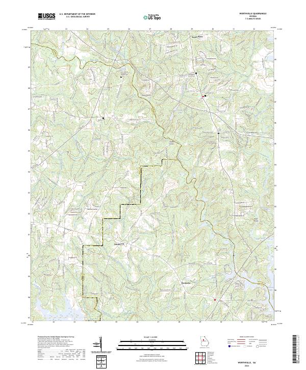 2024 Worthville2024 Print · USGSNewton and Henry Counties are documented here as they appear today, defined by the meeting of the rivers at Jackson Lake. Local historians can locate ancestral sites at County Line Baptist Church Cem or trace the old paths through Fincherville and Worthville.
 - 2024 Map of Stewart, 2024 Print
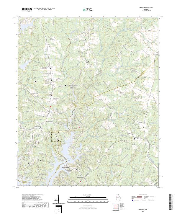 2024 Stewart2024 Print · USGSThe confluence of the Alcovy River and Jackson Lake defines this Georgia landscape in the early twenty-first century. Family historians can trace numerous burial sites like Red Oak Cem and Newton Factory Cem near the historic Stewart settlement.
 - 2024 Map of Lloyd Shoals Dam, 2024 Print
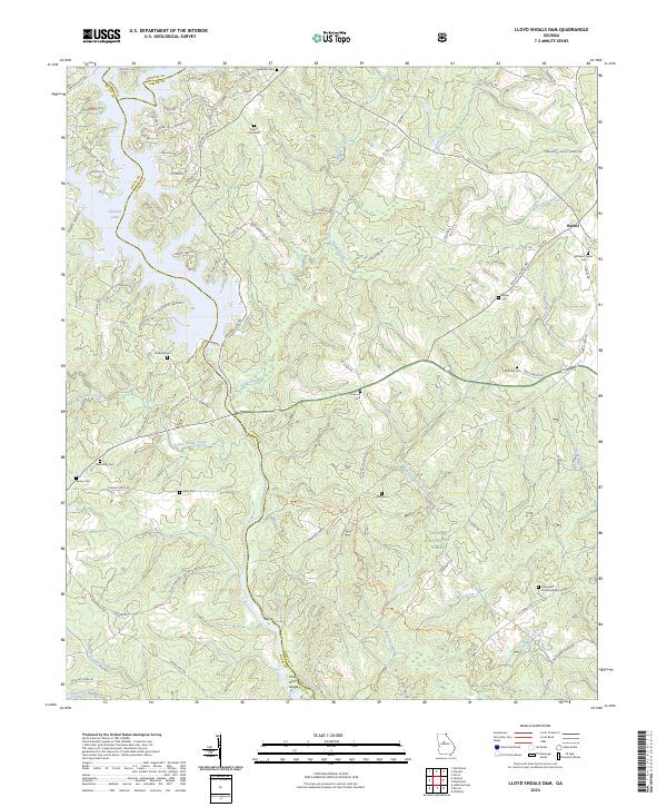 2024 Lloyd Shoals Dam2024 Print · USGSThe convergence of Jasper, Newton, and Butts counties is captured here in the 2020s, dominated by the Ocmulgee River and Jackson Lake. Genealogists can trace family heritage at Mount Zion Cem, Minter Cem, and Fellowship Primitive Baptist Cem.
End of results
Showing maps 1-16 of 16
Top cities of Butts County
Frequently asked questions
- What are the different types of historical maps available for Butts County?
- What is the oldest map of Butts County?
- Where can I purchase historical maps of Butts County for my home or office?
- Where can I download high-res historical maps of Butts County?
- Are there historical topographic maps available for Butts County?
- Is there historical aerial imagery available for Butts County?
- Where are historical maps of Butts County sourced from?