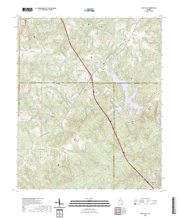
2024 Map of High Falls
USGS Topo · Published 2024About this map
The Towaliga River and its southern fork dominate this Georgia landscape where the borders of Butts, Lamar, Monroe, and Spalding counties converge. This river system historically powered local industry, anchored here by the landmark Higgins Mill near the southern edge of the survey. The community of High Falls serves as a central point, situated near the waters of High Falls Lake and surrounded by small settlements like Patillo and Chappel.
Find a feature on this map
116 named features on this map. Tap any name to fly to it.
Don’t see what you’re looking for? This feature index may not catch every label — zoom into the map to look around manually.
Map Details
Editions of this 2024 High Falls Map
This is the sole edition of this map. No revisions or reprints were ever made.
Other maps of this area

1951 · Forsyth
USGS Topo · 1:62,500

1951 · Barnesville
USGS Topo · 1:62,500

1953 · Atlanta
USGS Topo · 1:250,000

1953 · Athens
USGS Topo · 1:250,000

1957 · Atlanta
USGS Topo · 1:250,000

1958 · Athens
USGS Topo · 1:250,000

1958 · Atlanta
USGS Topo · 1:250,000

1959 · Athens
USGS Topo · 1:250,000

1963 · Athens
USGS Topo · 1:250,000

1964 · Luella
USGS Topo · 1:24,000