Old Maps of Candler County, Georgia for Genealogy
Trace your family roots with 78 historic maps of Candler County. These high-res maps reveal old neighborhoods, homesites, landmarks, and streets — helping you uncover where your ancestors lived and how the area evolved over time.
- Explore historic neighborhoods: Identify where your relatives may have lived in the 1800s or 1900s.
- Compare maps over time: Trace the changes in streets, buildings, and landmarks for multi-generational research.
- Perfect for genealogy & ancestry research: Used by family historians and researchers to map out lineage and migration.
These maps are an incredible resource for exploring your personal connection to Candler County's past.
Candler County, GA maps
(78)- 1920 Map of Statesboro
 1920 Statesboro1920 Print · USGSSoutheast Georgia was a bustling junction of regional railways just after the First World War. Researchers can trace family roots and land ownership across a network of rural schools like Smith Allen Deaf School, small settlements like Adabelle, and the prominent Central of Georgia Railway.4 unique versions available
 - 1921 Map of Rocky Ford
 1921 Rocky Ford1921 Print · USGSSoutheast Georgia in the early twenties reveals a landscape of river-bottom swamps and decentralized farming communities. Genealogists can trace local roots through numerous family-named landmarks like Bradwell School, Akins Mill Creek, and Finchs Store.2 unique versions available
 - 1943 Map of Rocky Ford
 1943 Rocky Ford1943 Print · USGSBulloch, Jenkins, and Screven counties are shown here during the early 1940s as the railroad and river still drove local life. Genealogists can locate family landmarks like Williams Chapel, Mallards Mill, and the various schoolhouses including Alexander Sch and Daughtry Sch.
 - 1943 Map of Millen
 1943 Millen1943 Print · USGSEastern Georgia during the early 1940s is shown here as a network of rail-side towns and river landings. Genealogists and local historians can locate many rural landmarks including Habersham Sch, Lovetts Cemetery, and the river crossing at Burtons Ferry.
 - 1943 Map of Statesboro
 1943 Statesboro1943 Print · USGSStatesboro and its rural Georgia surroundings appear in wartime detail, showing the busy Central of Georgia rail lines and early road networks. Genealogists can trace family connections to many local landmarks like Smith Allen Deal Sch and Langston Chapel.
 - 1947 Map of Savannah
 1947 Savannah1947 Print · USGSCoastal Georgia and South Carolina are captured here in the mid-forties, showing the rail-and-river networks of the Lowcountry. Genealogists and researchers can trace old crossroads and river towns from Statesboro to Beaufort, alongside military sites like Camp Stewart and Parris Island.
 - 1948 Map of Savannah
 1948 Savannah1948 Print · USGSThe Georgia and South Carolina Lowcountry comes alive in this post-war survey of the coast and its river-fed hinterlands. Genealogists and historians can trace rail lines like the Central of Georgia RR and find established settlements such as Isle of Hope and Sylvania.
 - 1957 Map of Macon
 1957 Macon1957 Print · USGSMid-century Georgia comes into focus as the river-and-rail economy shifts toward a new era of aviation and highway travel. Trace family roots and vanished landmarks across the Ocmulgee River valley from Macon to the onion fields of Vidalia.
 - 1957 Map of Savannah, 1967 Print
 1957 Savannah1967 Print · USGSThe Lowcountry and Georgia coastal plain are shown here in the late fifties, prior to modern expansion. Researchers can trace the rail-and-river economy through the Central of Georgia lines and the Ogeechee River wetlands.4 unique versions available
 - 1958 Map of Macon
 1958 Macon1958 Print · USGSMiddle Georgia during the late fifties shows the post-war expansion of Warner Robins alongside the deep-rooted rail hubs of the Central of Georgia line. Researchers can trace the river-bound boundaries of numerous counties and find local landmarks like Veterans Memorial Hospital and Robins AFB.
 - 1960 Map of Savannah
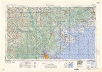 1960 Savannah1960 Print · USGSCoastal Georgia and the South Carolina Lowcountry are captured in the late fifties, showcasing the intricate web of islands and tidal rivers before modern expansion. Researchers can trace the rail lines of the Atlantic Coast Line or locate sites like Parris Island, Beaufort, and the Tybee Lighthouse.
 - 1961 Map of Savannah
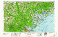 1961 Savannah1961 Print · USGSThe Georgia and South Carolina Lowcountry comes alive in this mid-century survey of coastal marshes, barrier islands, and river networks. Genealogists and historians can trace the paths of the Seaboard Air Line RR, locate family sites near Isle of Hope, or study the grounds of Fort Stewart Military Reservation.2 unique versions available
 - 1964 Map of Macon
 1964 Macon1964 Print · USGSCentral Georgia in the mid-sixties is defined by its major river valleys and a booming military presence. Genealogists and historians can trace the growth of Warner Robins near Robins AFB or locate smaller rural junctions like Allentown and Jeffersonville along the historic Southern railroad lines.2 unique versions available
 - 1970 Map of Cobbtown, 1973 Print
 1970 Cobbtown1973 Print · USGSSoutheast Georgia in the early seventies reveals a landscape of tight-knit rural communities and river-bottom lands. Genealogists can trace family roots at Sunlight Cem and Old Reedy Creek Cem, or locate landmarks like Aline and Cobbtown.2 unique versions available
 - 1970 Map of Metter, 1973 Print
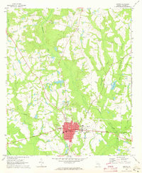 1970 Metter1973 Print · USGSInland Georgia in the early seventies centers on the growing city of Metter and its connection to the Central of Georgia railroad. Researchers can trace rural lineages through family landmarks like Olliff Cem and Rosemary Ch, or locate local hubs like the Drive-in Theater.2 unique versions available
 - 1970 Map of Metter SE, 1973 Print
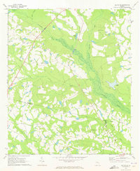 1970 Metter SE1973 Print · USGSCandler County in the early seventies is a landscape of winding river bottoms and rural congregations. Genealogists and local historians can trace the foundations of the community through landmarks like Primitive Grove Ch, Everitt Cem, and Metter Airport.2 unique versions available
 - 1970 Map of Oak Park, 1973 Print
 1970 Oak Park1973 Print · USGSEmanuel County at the start of the 1970s reveals a landscape of tight-knit rural communities and pine-lined wetlands. Genealogists and local historians can trace family roots through a high density of sites like Morris Cem, White Chapel, and the settlement at Normantown.2 unique versions available
 - 1971 Map of Stillmore, 1973 Print
 1971 Stillmore1973 Print · USGSStillmore was a junction of river and rail at the start of the 1970s, positioned right on the Emanuel and Candler county line. Researchers can trace the path of the Old Railroad Grade or locate family burial sites at Oak Grove Cem and Old Beulah Cem.2 unique versions available
 - 1971 Map of Twin City, 1973 Print
 1971 Twin City1973 Print · USGSThe Emanuel County interior is captured here in the early seventies, centered on the growing community of Twin City. Researchers can trace the legacy of rural life through family-linked sites like Rountree Grove Ch, an Old Railroad Grade, and the County Institute.
 - 1971 Map of Twin City SE, 1973 Print
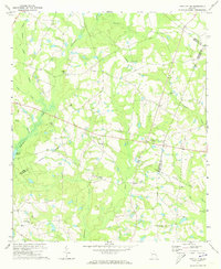 1971 Twin City SE1973 Print · USGSEastern Emanuel County in the early seventies is a landscape of winding creek branches and rural congregations. Trace local family history through numerous landmarks like New Beulah Ch, Watson Pond, and the Old Railroad Grade.2 unique versions available
 - 1978 Map of Pulaski
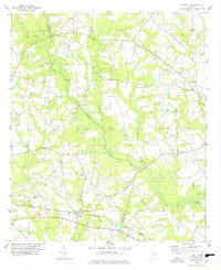 1978 Pulaski1978 Print · USGSThe rural landscape of Pulaski and the Bulloch-Candler county line are captured here in the late seventies. Genealogists and local historians can trace the Central of Georgia rail line and locate landmarks like Fish Trap Ch, Brannen Cem, and Cypress Lake.
 - 1978 Map of Portal
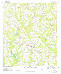 1978 Portal1978 Print · USGSBulloch County during the late seventies centers on the quiet crossroads of Portal. Researchers can trace old family sites and community anchors like the Willow Hill Sch, Nichols Cem, and the rural settlement of Piddleville.
 - 1978 Map of Register
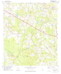 1978 Register1978 Print · USGSBulloch County during the late 1970s reveals a landscape of small crossroads settlements and river-bottom timberlands. Genealogists can locate family landmarks like Kennedy Bridge, St Pauls Ch, and rural communities such as Adabelle and New Hope.
 - 1979 Map of Vidalia, 1980 Print
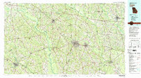 1979 Vidalia1980 Print · USGSSoutheast Georgia in the late 1970s is a landscape of river-bend settlements and crossing rail lines. Researchers can trace family roots and land patterns through several towns like Vidalia, Soperton, and Mount Vernon, or locate regional landmarks like the State Prison.2 unique versions available
 - 1981 Map of Dublin
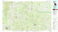 1981 Dublin1981 Print · USGSEast Georgia in the early eighties shows a landscape defined by its river basins and a persistent rail network. Genealogists and historians can trace family roots through historic town centers like Sandersville, Swainsboro, and Louisville or follow the Old Railroad Grade.
Showing maps 1-25 of 78
Top cities of Candler County
Frequently asked questions
- What are the different types of historical maps available for Candler County?
- What is the oldest map of Candler County?
- Where can I purchase historical maps of Candler County for my home or office?
- Where can I download high-res historical maps of Candler County?
- Are there historical topographic maps available for Candler County?
- Is there historical aerial imagery available for Candler County?
- Where are historical maps of Candler County sourced from?