2020s Maps of Candler County, Georgia
Explore 20 historic maps of Candler County from the 2020s. These maps offer a rare glimpse into what life looked like during the 2020s — showing old roads, neighborhoods, homes, and landmarks that have changed or disappeared over time.
Whether you're researching your family's past, planning a metal detecting trip, or studying how Candler County's landscape evolved across the 2020s, these high-resolution maps are a powerful tool for exploring the history of this region.
- Focus on a specific era: All maps on this page are from the 2020s, giving you a focused view of this time period.
- See what’s changed: Compare century-old streets, trails, and buildings to today's modern landscape using overlays and satellite layers.
- Research with precision: Use these maps for genealogy, historical research, land use analysis, or educational projects.
- View, download, or print: Maps are fully viewable online in high resolution, and can be downloaded or printed for your own records.
Start exploring Candler County's history through authentic maps from the 2020s. This is your window into the past.
Candler County, GA maps
(20)- 2020 Map of Portal, 2020 Print
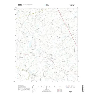 2020 Portal2020 Print · USGSCovers Candler County, including Portal, Aaron, and other nearby areas
 - 2020 Map of Register, 2020 Print
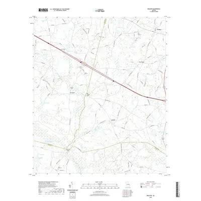 2020 Register2020 Print · USGSCovers Candler County, including Register, New Hope, and other nearby areas
 - 2020 Map of Pulaski, 2020 Print
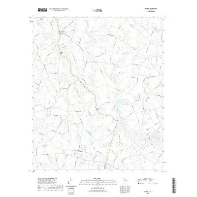 2020 Pulaski2020 Print · USGSCovers Candler County, including Pulaski, Parish, and other nearby areas
 - 2020 Map of Metter, 2020 Print
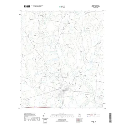 2020 Metter2020 Print · USGSCovers Candler County, including Metter, Shamrock, and other nearby areas
 - 2020 Map of Oak Park, 2020 Print
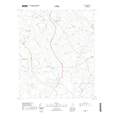 2020 Oak Park2020 Print · USGSCovers Candler County, including Lyons, Oak Park, and other nearby areas
 - 2020 Map of Twin City SE, 2020 Print
 2020 Twin City SE2020 Print · USGSCovers Candler County, including Bulloch County, Emanuel County, and other nearby areas
 - 2020 Map of Metter SE, 2020 Print
 2020 Metter SE2020 Print · USGSCovers Candler County, including Metter, Tattnall County, and other nearby areas
 - 2020 Map of Twin City, 2020 Print
 2020 Twin City2020 Print · USGSCovers Candler County, including Twin City, Durdenville, and other nearby areas
 - 2020 Map of Cobbtown, 2020 Print
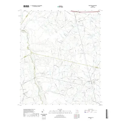 2020 Cobbtown2020 Print · USGSCovers Candler County, including Cobbtown, Aline, and other nearby areas
 - 2020 Map of Stillmore, 2020 Print
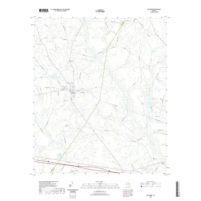 2020 Stillmore2020 Print · USGSCovers Candler County, including Stillmore, Canoe, and other nearby areas
 - 2024 Map of Portal, 2024 Print
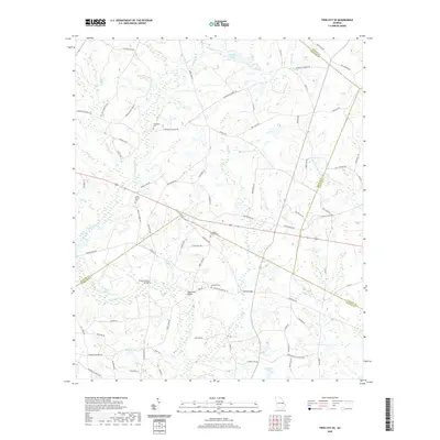
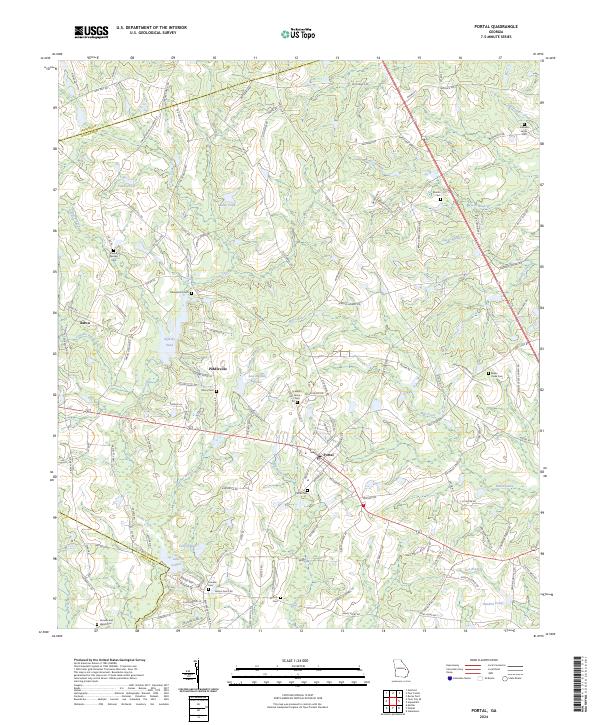 2024 Portal2024 Print · USGSThe community of Portal and the surrounding Georgia countryside are shown here at the intersection of Bulloch and Jenkins counties. Researchers can trace local lineage through numerous rural burial grounds like Johnson Grove Cem and Franklin Cem, or locate the historic settlements of Piddleville and Aaron.
 - 2024 Map of Register, 2024 Print
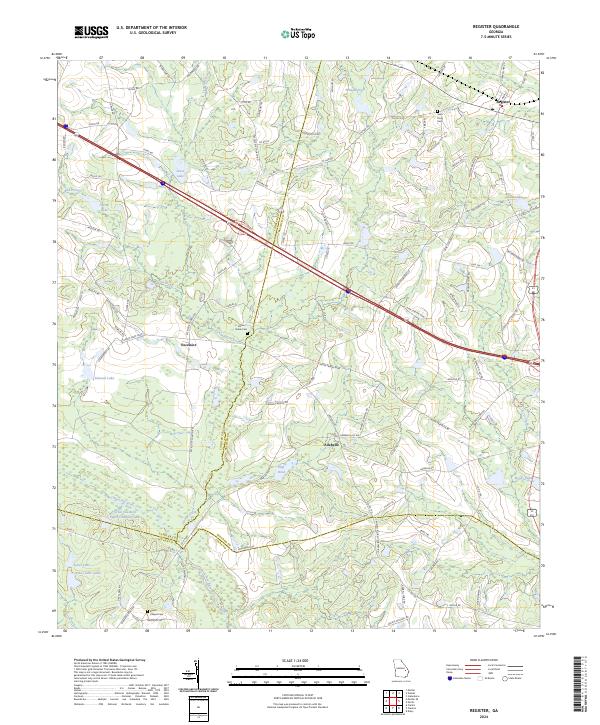 2024 Register2024 Print · USGSBulloch and Candler counties are captured in this modern survey of rural Georgia, where agriculture and interstate transport meet. Genealogists can trace family landmarks like Saint Pauls Cem while historians study the landscape around Register and the Canoochee River.
 - 2024 Map of Pulaski, 2024 Print
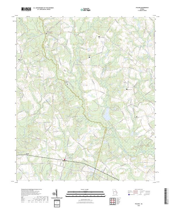 2024 Pulaski2024 Print · USGSThe rural borderlands of Candler and Bulloch Counties come into focus in this contemporary survey of the Georgia coastal plain. Genealogists and local historians can trace family roots through numerous sites like Upper Lotts Creek Primitive Baptist Church, Alderman Cem, and Pulaski.
 - 2024 Map of Twin City, 2024 Print
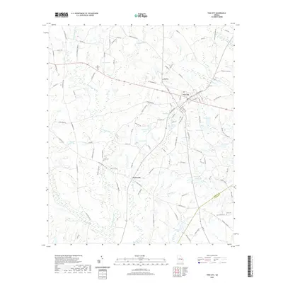
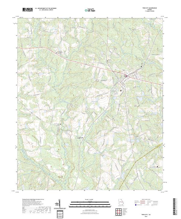 2024 Twin City2024 Print · USGSThe Emanuel County towns of Twin City and Durdenville are captured here in the early twenty-first century. Researchers can trace local lineage through the Old Canoochee Primitive Baptist Church Cem or follow the waters of Little Canoochee Creek.
 - 2024 Map of Stillmore, 2024 Print
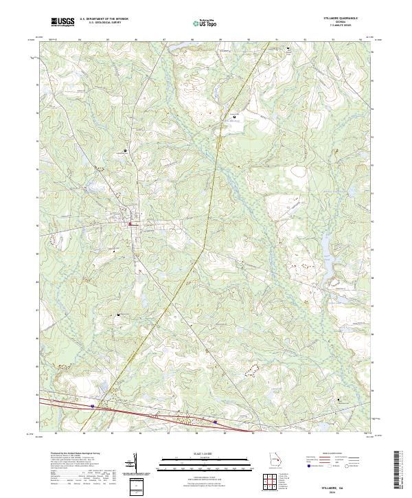 2024 Stillmore2024 Print · USGSStillmore and the rural borders of Emanuel and Candler Counties are captured here in the mid-2020s. Researchers can locate numerous family burial grounds like Old Beulah Cem and trace water-driven landmarks such as Cowarts Mill Pond.
 - 2024 Map of Oak Park, 2024 Print
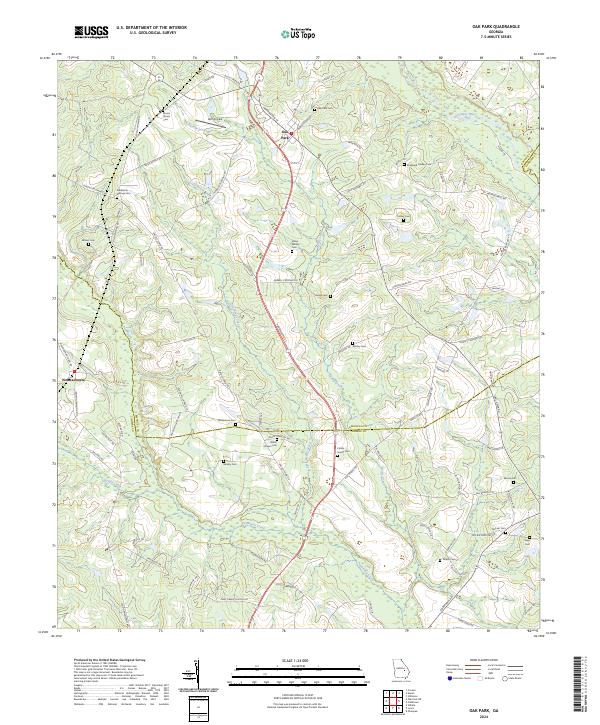 2024 Oak Park2024 Print · USGSOak Park and the surrounding rural landscape where Emanuel, Toombs, and Candler counties meet are shown here in the mid-2020s. Researchers can trace numerous family-named landmarks and burial sites like Shepherd Findley Cem, Williamson Cem, and Holt Airpark.
 - 2024 Map of Metter SE, 2024 Print
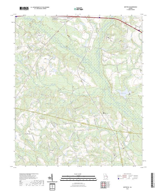 2024 Metter SE2024 Print · USGSSoutheast of Metter in the early twenty-first century, this landscape is defined by the winding Canoochee River and a complex web of rural county lines. Researchers can locate family landmarks and burial sites like Dixon Grove Cem or trace the waters of Wolfe Creek and Laniers Pond.
 - 2024 Map of Metter, 2024 Print
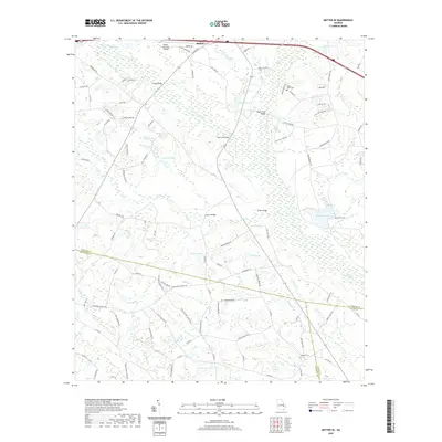
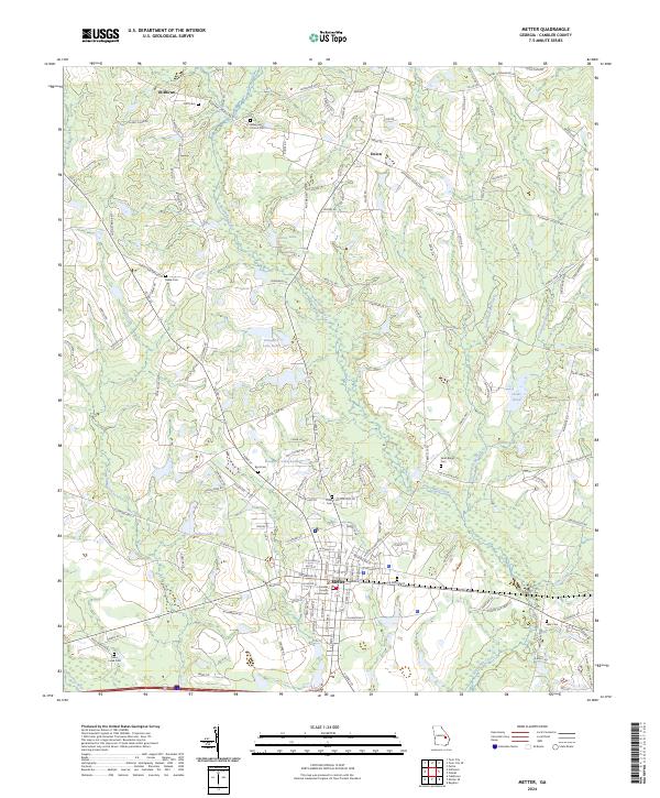 2024 Metter2024 Print · USGSCandler County is shown in detail during its modern era, centered on the historic seat of Metter. Researchers can trace local heritage through numerous burial sites like Rosemary Church Cem and landmarks such as the Candler County Courthouse.
 - 2024 Map of Cobbtown, 2024 Print
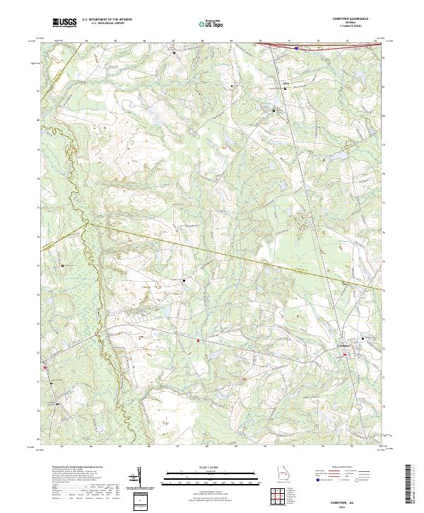 2024 Cobbtown2024 Print · USGSCoastal plain communities in Tattnall and Candler counties are captured here in the early twenty-first century. Researchers can locate several family and community landmarks, including Sunlight Cem, Bazemore Cem, and the historic Oak Chapel near Aline.
 - 2024 Map of Twin City SE, 2024 Print
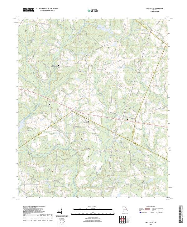 2024 Twin City SE2024 Print · USGSNear the intersection of four Georgia counties, this landscape highlights rural community life through its many family cemeteries and country churches. Genealogists can trace local roots at Friendship Freewill Baptist Church Cem, Williams Cem, and along the banks of Cypress Creek.
End of results
Showing maps 1-20 of 20
Top cities of Candler County
Frequently asked questions
- What are the different types of historical maps available for Candler County?
- What is the oldest map of Candler County?
- Where can I purchase historical maps of Candler County for my home or office?
- Where can I download high-res historical maps of Candler County?
- Are there historical topographic maps available for Candler County?
- Is there historical aerial imagery available for Candler County?
- Where are historical maps of Candler County sourced from?