2000s (21st Century) Maps of Kennesaw, Georgia
Explore 20 historic maps of Kennesaw from the 2000s (21st Century). These maps offer a rare glimpse into what life looked like during the 2000s — showing old roads, neighborhoods, homes, and landmarks that have changed or disappeared over time.
Whether you're researching your family's past, planning a metal detecting trip, or studying how Kennesaw's landscape evolved across the 2000s, these high-resolution maps are a powerful tool for exploring the history of this region.
- Focus on a specific era: All maps on this page are from the 2000s, giving you a focused view of this time period.
- See what’s changed: Compare century-old streets, trails, and buildings to today's modern landscape using overlays and satellite layers.
- Research with precision: Use these maps for genealogy, historical research, land use analysis, or educational projects.
- View, download, or print: Maps are fully viewable online in high resolution, and can be downloaded or printed for your own records.
Start exploring Kennesaw's history through authentic maps from the 2000s. This is your window into the past.
Kennesaw, GA maps
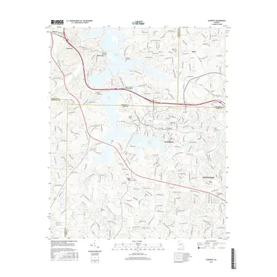
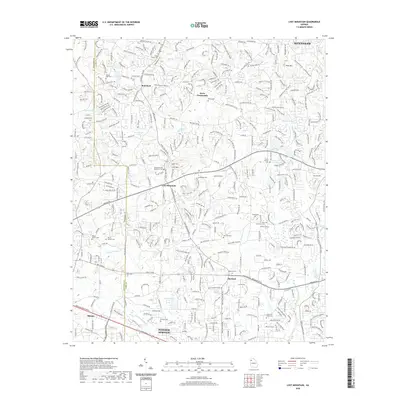
(20)- 2011 Map of Acworth, 2011 Print
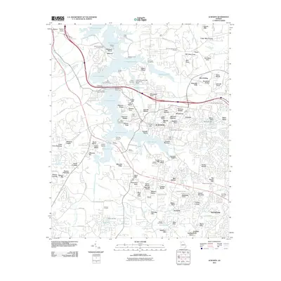 2011 Acworth2011 Print · USGSCovers Kennesaw, including Acworth, Emerson, and other nearby areas
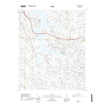
 - 2011 Map of Lost Mountain, 2011 Print
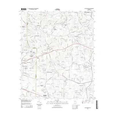
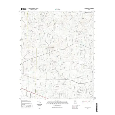
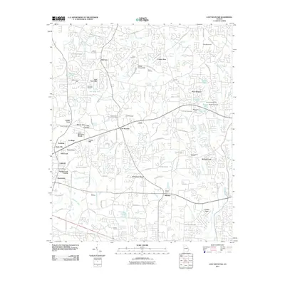 2011 Lost Mountain2011 Print · USGSCovers Kennesaw, including Powder Springs, Hiram, and other nearby areas
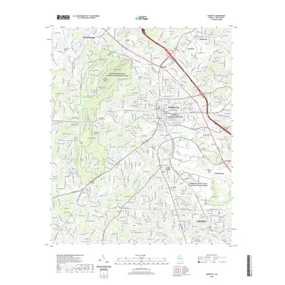
 - 2011 Map of Marietta, 2011 Print
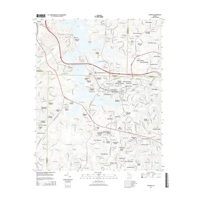
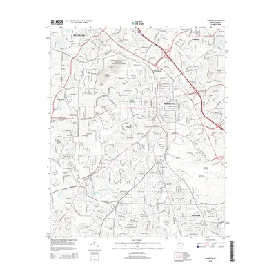
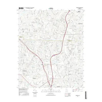
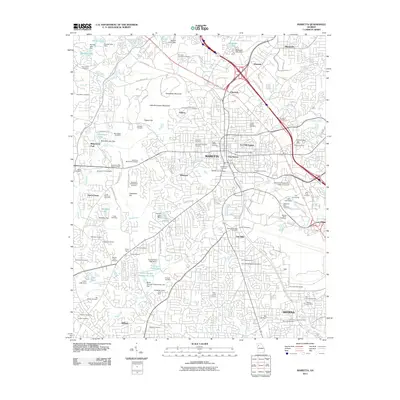 2011 Marietta2011 Print · USGSCovers Kennesaw, including Marietta, Smyrna, and other nearby areas
 - 2011 Map of Kennesaw, 2011 Print
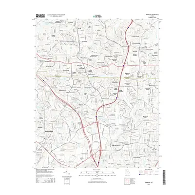
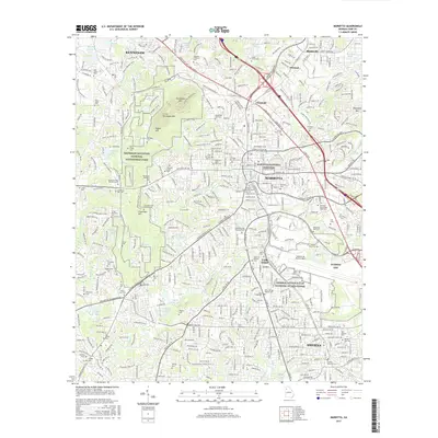
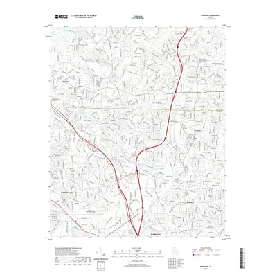
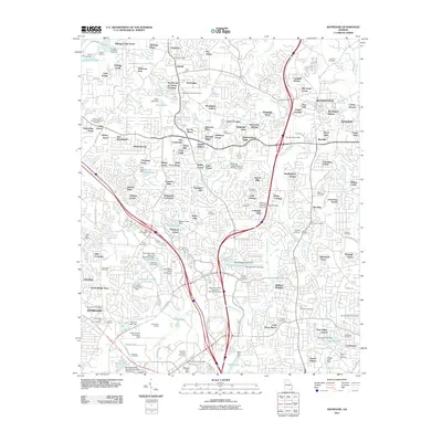 2011 Kennesaw2011 Print · USGSCovers Kennesaw, including Marietta, Woodstock, and other nearby areas
 - 2014 Map of Kennesaw, 2014 Print
 2014 Kennesaw2014 Print · USGSCovers Kennesaw, including Marietta, Woodstock, and other nearby areas
 - 2014 Map of Acworth, 2014 Print
 2014 Acworth2014 Print · USGSCovers Kennesaw, including Acworth, Emerson, and other nearby areas
 - 2014 Map of Lost Mountain, 2014 Print
 2014 Lost Mountain2014 Print · USGSCovers Kennesaw, including Powder Springs, Hiram, and other nearby areas
 - 2014 Map of Marietta, 2014 Print
 2014 Marietta2014 Print · USGSCovers Kennesaw, including Marietta, Smyrna, and other nearby areas
 - 2017 Map of Kennesaw, 2017 Print
 2017 Kennesaw2017 Print · USGSCovers Kennesaw, including Marietta, Woodstock, and other nearby areas
 - 2017 Map of Marietta, 2017 Print
 2017 Marietta2017 Print · USGSCovers Kennesaw, including Marietta, Smyrna, and other nearby areas
 - 2017 Map of Lost Mountain, 2017 Print
 2017 Lost Mountain2017 Print · USGSCovers Kennesaw, including Powder Springs, Hiram, and other nearby areas
 - 2017 Map of Acworth, 2017 Print
 2017 Acworth2017 Print · USGSCovers Kennesaw, including Acworth, Emerson, and other nearby areas
 - 2020 Map of Lost Mountain, 2020 Print
 2020 Lost Mountain2020 Print · USGSCovers Kennesaw, including Powder Springs, Hiram, and other nearby areas
 - 2020 Map of Marietta, 2020 Print
 2020 Marietta2020 Print · USGSCovers Kennesaw, including Marietta, Smyrna, and other nearby areas
 - 2020 Map of Kennesaw, 2020 Print
 2020 Kennesaw2020 Print · USGSCovers Kennesaw, including Marietta, Woodstock, and other nearby areas
 - 2020 Map of Acworth, 2020 Print
 2020 Acworth2020 Print · USGSCovers Kennesaw, including Acworth, Emerson, and other nearby areas
 - 2024 Map of Kennesaw, 2024 Print
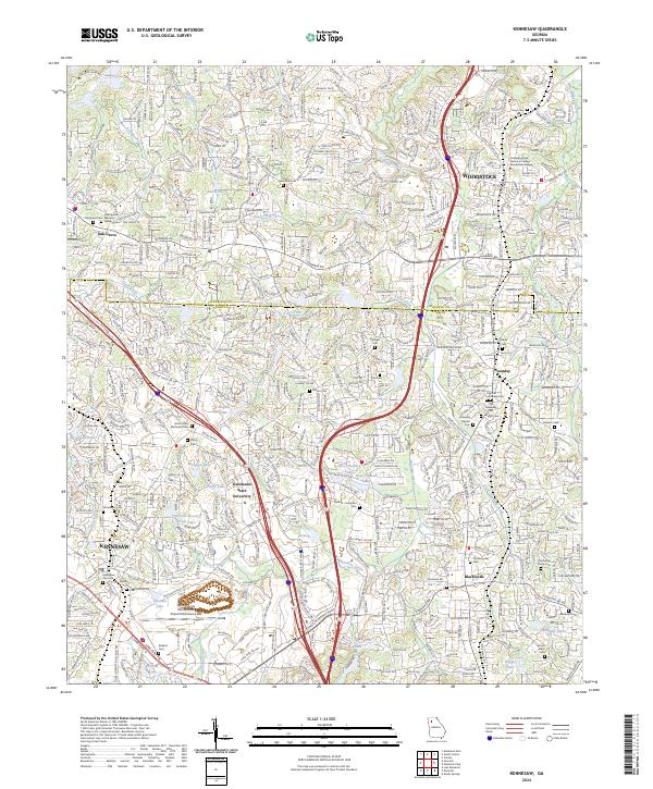 2024 Kennesaw2024 Print · USGSKennesaw and Woodstock are shown during a period of rapid suburban growth along the Interstate 75 corridor. Genealogists can trace family heritage through numerous burial sites like Old Ebenezer Cem, Shiloh Cem, and Blackwell Cem.
 - 2024 Map of Acworth, 2024 Print
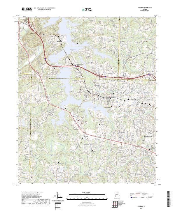 2024 Acworth2024 Print · USGSAcworth and the Etowah River basin are shown here in the 2020s, where suburban growth meets the expansive waters of Allatoona Lake. Researchers can trace dozens of local burial sites and landmarks, including Mars Hill Cem, the McKinney Family Cem, and the BNSF Railway corridor.
 - 2024 Map of Marietta, 2024 Print
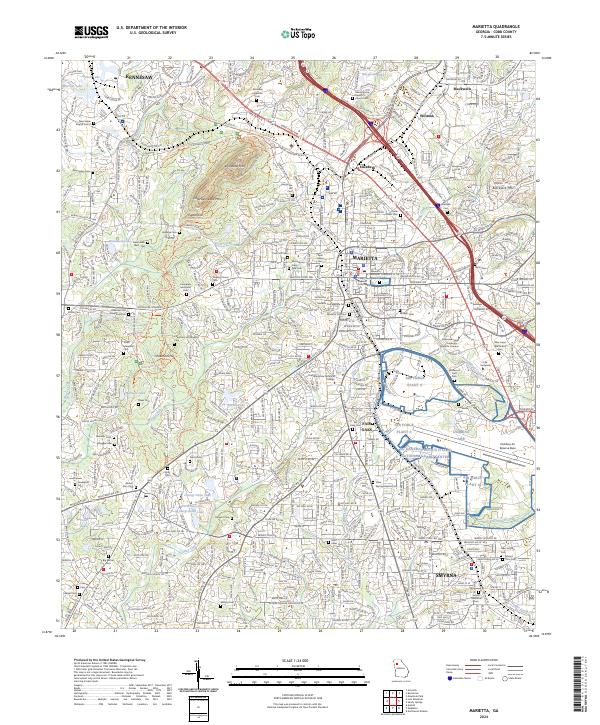 2024 Marietta2024 Print · USGSCobb County today is a bustling metropolitan landscape defined by its deep Civil War history and major aerospace installations. Genealogists and historians can locate dozens of burial sites including Marietta City Cem and the small Paupers Cem near Olley Creek.
 - 2024 Map of Lost Mountain, 2024 Print
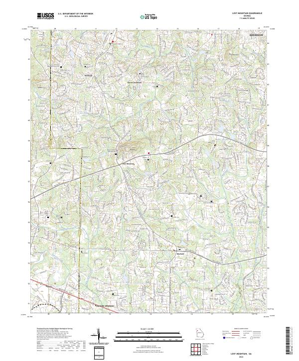 2024 Lost Mountain2024 Print · USGSCobb County's western reaches are shown here in the 2020s, where rural history meets modern development at the base of Lost Mountain. Researchers can locate numerous historic burial grounds like Shipp - Old Lost Mountain Cem and Midway Cem near the Davis Crossroads settlement.
End of results
Showing maps 1-20 of 20
Top cities near Kennesaw
- Atlanta historical maps
- Sandy Springs historical maps
- Roswell historical maps
- Marietta historical maps
- Smyrna historical maps
- Milton historical maps
See more
Top neighborhoods of Kennesaw
- Annandale historical maps
- Carillon historical maps
- Westover historical maps
- Highcroft historical maps
- Kentmere historical maps
- Lullwater historical maps
See more
Frequently asked questions
- What are the different types of historical maps available for Kennesaw?
- What is the oldest map of Kennesaw?
- Where can I purchase historical maps of Kennesaw for my home or office?
- Where can I download high-res historical maps of Kennesaw?
- Are there historical topographic maps available for Kennesaw?
- Is there historical aerial imagery available for Kennesaw?
- Where are historical maps of Kennesaw sourced from?