Old Maps of Columbia County, Georgia for Academic Research
Study the evolution of Columbia County with 50 high-resolution historic maps. Whether you're teaching, researching, or modeling changes in land use, these maps provide essential visual documentation of urban, environmental, and geographic change.
- Analyze long-term change: Track patterns in development, transportation, and natural features.
- Ideal for environmental or urban studies: Support academic projects with primary historical map data.
- Use in the classroom or lab: Educators and researchers rely on these maps to bring historical context to life.
These maps are a powerful tool for teaching, research, and visualizing how Columbia County has changed over the decades.
Columbia County, GA maps
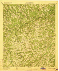
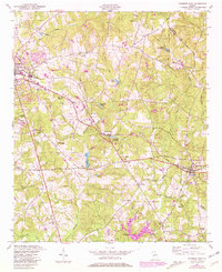
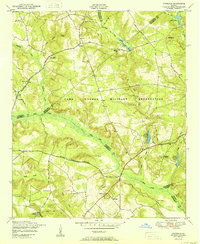
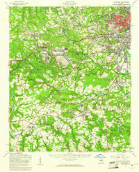
(50)- 1892 Map of Mc Cormick
 1892 Mc Cormick1892 Print · USGSCovers Columbia County, including Augusta, North Augusta, and other nearby areas5 unique versions available
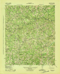
 - 1912 Map of Mc Cormick, 1913 Print
 1912 Mc Cormick1913 Print · USGSCovers Columbia County, including Augusta, North Augusta, and other nearby areas
 - 1920 Map of Clarks Hill
 1920 Clarks Hill1920 Print · USGSCovers Columbia County, including Augusta, North Augusta, and other nearby areas
 - 1921 Map of Clarks Hill
 1921 Clarks Hill1921 Print · USGSCovers Columbia County, including Augusta, North Augusta, and other nearby areas3 unique versions available
 - 1921 Map of Appling
 1921 Appling1921 Print · USGSCovers Columbia County, including Appling, Loce, and other nearby areas3 unique versions available
 - 1922 Map of Harlem
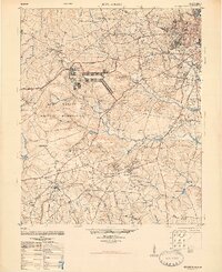
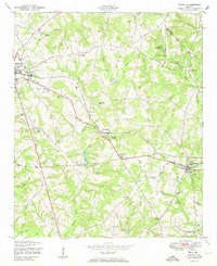
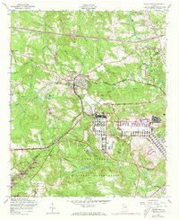
 1922 Harlem1922 Print · USGSCovers Columbia County, including Augusta, Thomson, and other nearby areas3 unique versions available
 - 1922 Map of Hephzibah
 1922 Hephzibah1922 Print · USGSCovers Columbia County, including Augusta, Grovetown, and other nearby areas3 unique versions available
 - 1941 Map of Clarks Hill, 1957 Print
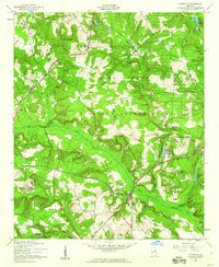
 1941 Clarks Hill1957 Print · USGSCovers Columbia County, including Augusta, North Augusta, and other nearby areas2 unique versions available
 - 1942 Map of Clarks Hill
 1942 Clarks Hill1942 Print · USGSCovers Columbia County, including Augusta, North Augusta, and other nearby areas
 - 1943 Map of Appling
 1943 Appling1943 Print · USGSCovers Columbia County, including Appling, Loce, and other nearby areas
 - 1948 Map of Hephzibah
 1948 Hephzibah1948 Print · USGSCovers Columbia County, including Augusta, Grovetown, and other nearby areas2 unique versions available
 - 1948 Map of Harlem
 1948 Harlem1948 Print · USGSCovers Columbia County, including Augusta, Thomson, and other nearby areas2 unique versions available
 - 1948 Map of Harlem, 1969 Print
 1948 Harlem1969 Print · USGSCovers Columbia County, including Augusta, Harlem, and other nearby areas2 unique versions available
 - 1948 Map of Thomson East, 1981 Print
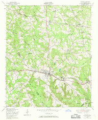
 1948 Thomson East1981 Print · USGSCovers Columbia County, including Thomson, Dearing, and other nearby areas
 - 1950 Map of Grovetown
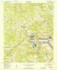 1950 Grovetown1950 Print · USGSCovers Columbia County, including Augusta, Grovetown, and other nearby areas
 - 1950 Map of Dearing
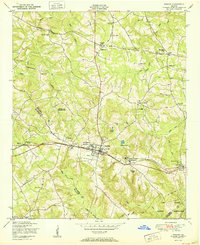
 1950 Dearing1950 Print · USGSCovers Columbia County, including Thomson, Dearing, and other nearby areas
 - 1950 Map of Harlem
 1950 Harlem1950 Print · USGSCovers Columbia County, including Augusta, Harlem, and other nearby areas
 - 1950 Map of Avondale
 1950 Avondale1950 Print · USGSCovers Columbia County, including Augusta, Avondale, and other nearby areas
 - 1950 Map of Augusta West
 1950 Augusta West1950 Print · USGSCovers Columbia County, including Augusta, Fairvale, and other nearby areas
 - 1953 Map of Athens, 1966 Print
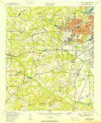
 1953 Athens1966 Print · USGSCovers Columbia County, including Augusta, Athens, and other nearby areas3 unique versions available
 - 1957 Map of Avondale, 1960 Print
 1957 Avondale1960 Print · USGSCovers Columbia County, including Augusta, Avondale, and other nearby areas3 unique versions available
 - 1957 Map of Augusta West, 1960 Print
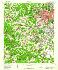 1957 Augusta West1960 Print · USGSCovers Columbia County, including Augusta, Fairvale, and other nearby areas4 unique versions available
 - 1957 Map of Hephzibah, 1961 Print
 1957 Hephzibah1961 Print · USGSCovers Columbia County, including Augusta, Grovetown, and other nearby areas2 unique versions available
 - 1957 Map of Grovetown, 1973 Print
 1957 Grovetown1973 Print · USGSCovers Columbia County, including Augusta, Grovetown, and other nearby areas4 unique versions available
 - 1958 Map of Athens
 1958 Athens1958 Print · USGSCovers Columbia County, including Augusta, Athens, and other nearby areas
Showing maps 1-25 of 50
Top cities of Columbia County
Frequently asked questions
- What are the different types of historical maps available for Columbia County?
- What is the oldest map of Columbia County?
- Where can I purchase historical maps of Columbia County for my home or office?
- Where can I download high-res historical maps of Columbia County?
- Are there historical topographic maps available for Columbia County?
- Is there historical aerial imagery available for Columbia County?
- Where are historical maps of Columbia County sourced from?