2000s (21st Century) Maps of Columbia County, Georgia
Explore 12 historic maps of Columbia County from the 2000s (21st Century). These maps offer a rare glimpse into what life looked like during the 2000s — showing old roads, neighborhoods, homes, and landmarks that have changed or disappeared over time.
Whether you're researching your family's past, planning a metal detecting trip, or studying how Columbia County's landscape evolved across the 2000s, these high-resolution maps are a powerful tool for exploring the history of this region.
- Focus on a specific era: All maps on this page are from the 2000s, giving you a focused view of this time period.
- See what’s changed: Compare century-old streets, trails, and buildings to today's modern landscape using overlays and satellite layers.
- Research with precision: Use these maps for genealogy, historical research, land use analysis, or educational projects.
- View, download, or print: Maps are fully viewable online in high resolution, and can be downloaded or printed for your own records.
Start exploring Columbia County's history through authentic maps from the 2000s. This is your window into the past.
Columbia County, GA maps
(12)- 2024 Map of Winfield, 2024 Print
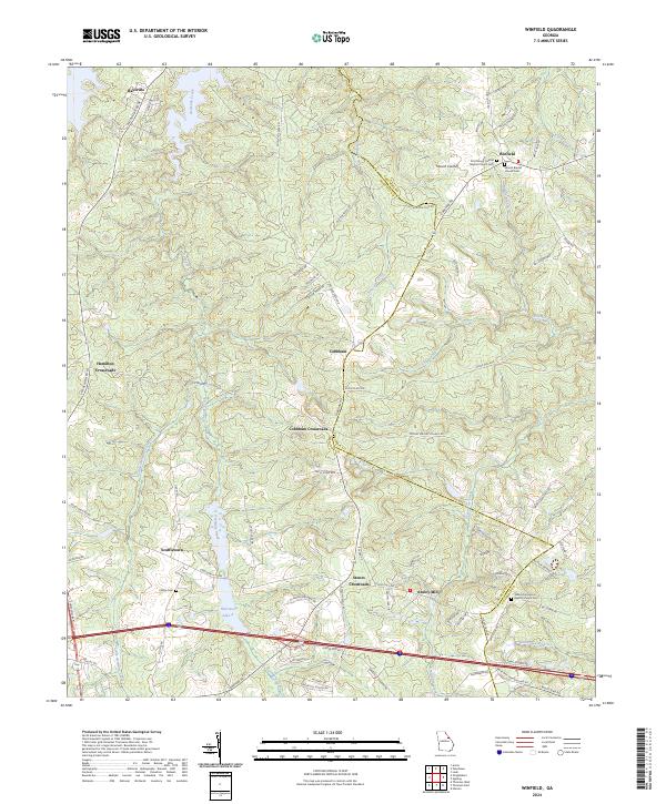 2024 Winfield2024 Print · USGSCovers Columbia County, including Hamilton Crossroads, Stones Crossroads, and other nearby areas
 - 2024 Map of Appling, 2024 Print
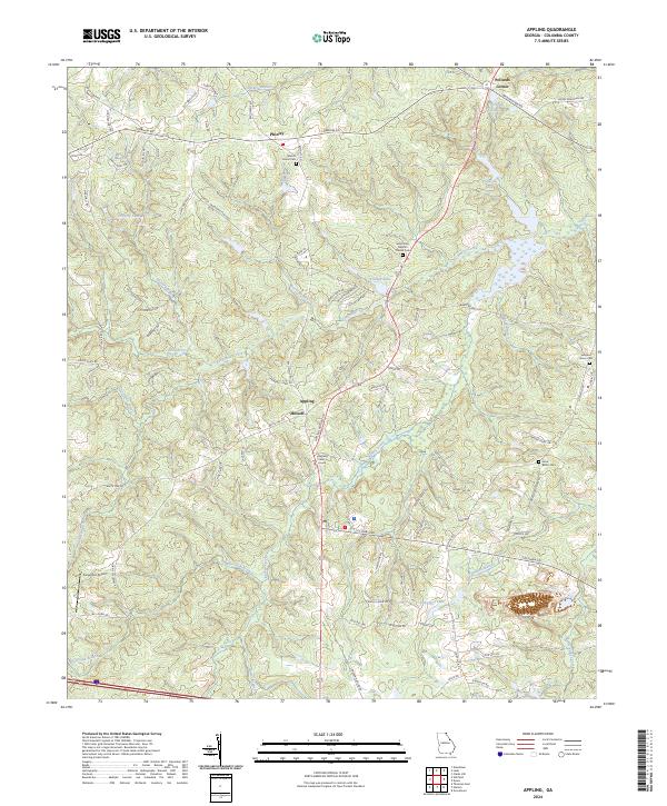 2024 Appling2024 Print · USGSCovers Columbia County, including Appling, Maddox, and other nearby areas
 - 2024 Map of Evans, 2024 Print
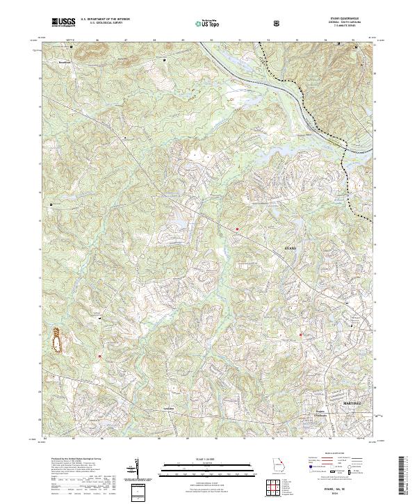 2024 Evans2024 Print · USGSCovers Columbia County, including Evanston, Deerwood Acres, and other nearby areas
 - 2024 Map of Thomson East, 2024 Print
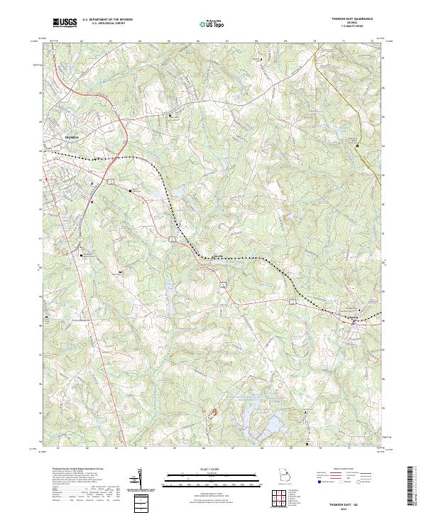 2024 Thomson East2024 Print · USGSCovers Columbia County, including Thomson, Dearing, and other nearby areas
 - 2024 Map of Woodlawn, 2024 Print
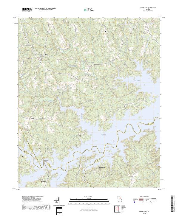 2024 Woodlawn2024 Print · USGSCovers Columbia County, including Amity, New Hope, and other nearby areas
 - 2024 Map of Leah, 2024 Print
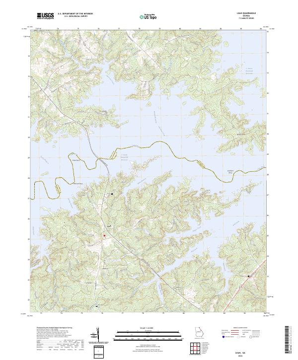 2024 Leah2024 Print · USGSCovers Columbia County, including Dunn Chapel, Bussey, and other nearby areas
 - 2024 Map of Avondale, 2024 Print
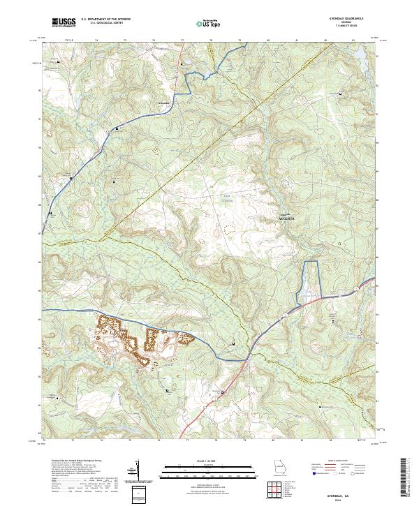 2024 Avondale2024 Print · USGSCovers Columbia County, including Augusta, Avondale, and other nearby areas
 - 2024 Map of Martinez, 2024 Print
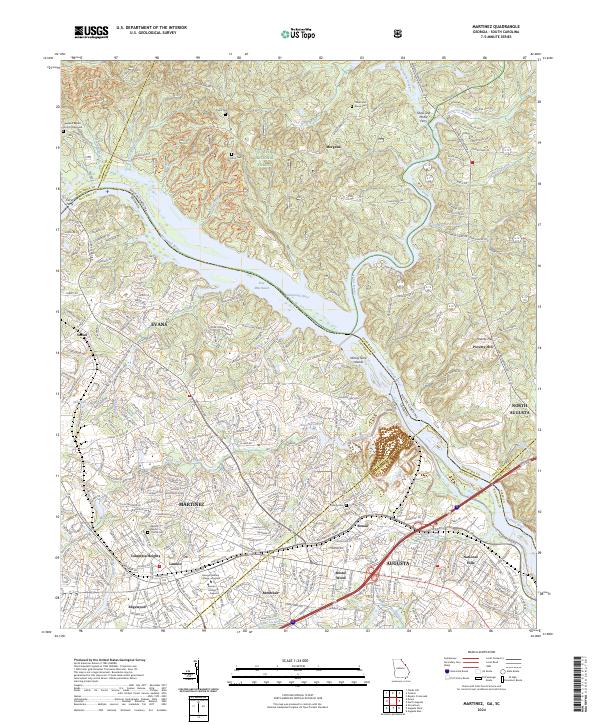 2024 Martinez2024 Print · USGSCovers Columbia County, including Augusta, North Augusta, and other nearby areas
 - 2024 Map of Grovetown, 2024 Print
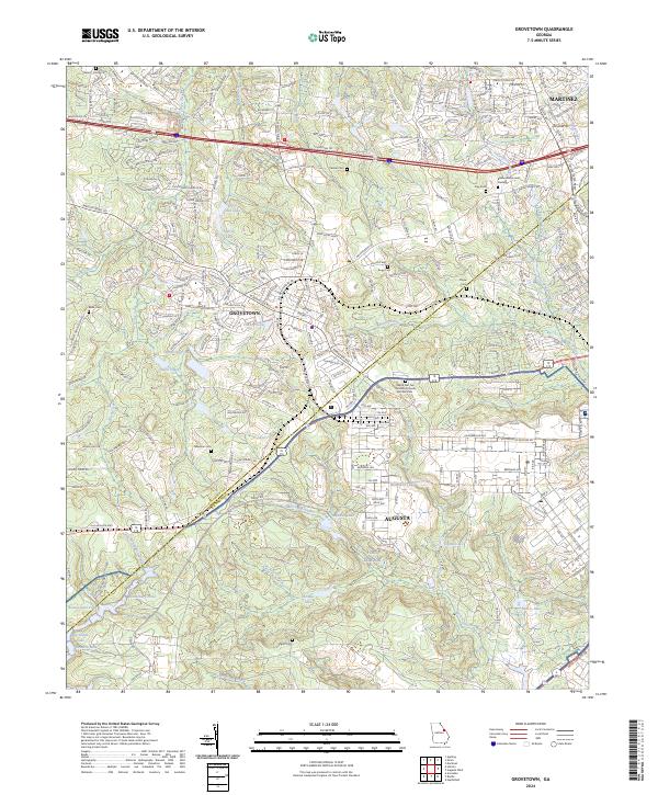 2024 Grovetown2024 Print · USGSCovers Columbia County, including Augusta, Grovetown, and other nearby areas
 - 2024 Map of Harlem, 2024 Print
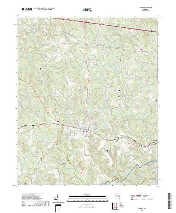 2024 Harlem2024 Print · USGSCovers Columbia County, including Augusta, Harlem, and other nearby areas
 - 2024 Map of Augusta West, 2024 Print
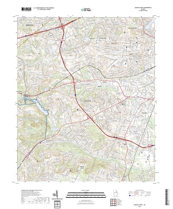 2024 Augusta West2024 Print · USGSCovers Columbia County, including Augusta, Carriage Court, and other nearby areas
 - 2024 Map of Clarks Hill, 2024 Print
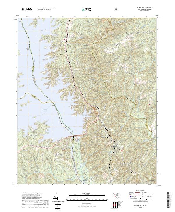 2024 Clarks Hill2024 Print · USGSCovers Columbia County, including Woodlawn, Clarks Hill, and other nearby areas
End of results
Showing maps 1-12 of 12
Top cities of Columbia County
Frequently asked questions
- What are the different types of historical maps available for Columbia County?
- What is the oldest map of Columbia County?
- Where can I purchase historical maps of Columbia County for my home or office?
- Where can I download high-res historical maps of Columbia County?
- Are there historical topographic maps available for Columbia County?
- Is there historical aerial imagery available for Columbia County?
- Where are historical maps of Columbia County sourced from?