2010s Maps of Columbia County, Georgia
Explore 36 historic maps of Columbia County from the 2010s. These maps offer a rare glimpse into what life looked like during the 2010s — showing old roads, neighborhoods, homes, and landmarks that have changed or disappeared over time.
Whether you're researching your family's past, planning a metal detecting trip, or studying how Columbia County's landscape evolved across the 2010s, these high-resolution maps are a powerful tool for exploring the history of this region.
- Focus on a specific era: All maps on this page are from the 2010s, giving you a focused view of this time period.
- See what’s changed: Compare century-old streets, trails, and buildings to today's modern landscape using overlays and satellite layers.
- Research with precision: Use these maps for genealogy, historical research, land use analysis, or educational projects.
- View, download, or print: Maps are fully viewable online in high resolution, and can be downloaded or printed for your own records.
Start exploring Columbia County's history through authentic maps from the 2010s. This is your window into the past.
Columbia County, GA maps
(36)- 2011 Map of Avondale, 2011 Print
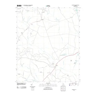 2011 Avondale2011 Print · USGSEastern Georgia at the start of the twenty-first century reveals a landscape shaped by rural family legacies and winding creeks. Genealogists can trace deep local roots across numerous sites like Silver Run Cemetery, Patterson Bridge, and Nortons Millrace.
 - 2011 Map of Winfield, 2011 Print
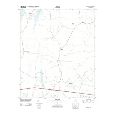 2011 Winfield2011 Print · USGSMcDuffie County's rural landscape is captured here in the early twenty-first century, showing a network of historic crossroads and creek-side settlements. Researchers can locate family landmarks like Collins Cemetery, Ansley Mill, and Stones Crossroads.
 - 2011 Map of Harlem, 2011 Print
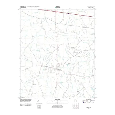 2011 Harlem2011 Print · USGSGeorgia's eastern interior near Augusta shows its settled rural character in the early twenty-first century. Researchers can trace family history through local landmarks like Old Union Baptist Church Cemetery and small communities such as Sawdust, Harlem, and Berzelia.
 - 2011 Map of Appling, 2011 Print
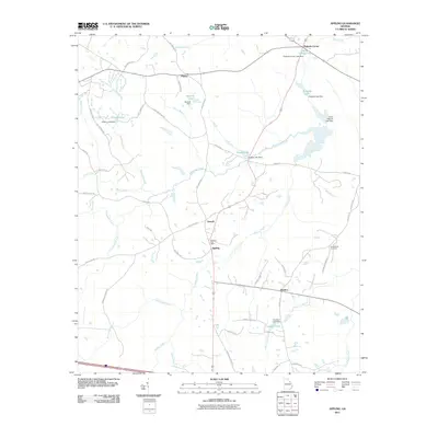 2011 Appling2011 Print · USGSColumbia County in the early twenty-first century remains a landscape defined by its rural junctions and extensive creek systems. Researchers can trace family history through the Susie Bostic Cemetery and locate vanished footprints of settlements like Pollards Corner and Maddox.
 - 2011 Map of Woodlawn, 2011 Print
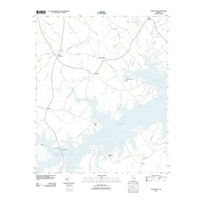 2011 Woodlawn2011 Print · USGSLincoln County and the shoreline of the reservoir are captured here during the early twenty-first century. Genealogists and local historians can locate rural landmarks such as Saint Pauls Methodist Church Cemetery and settlements like Amity and Leathersville.
 - 2011 Map of Augusta West, 2011 Print
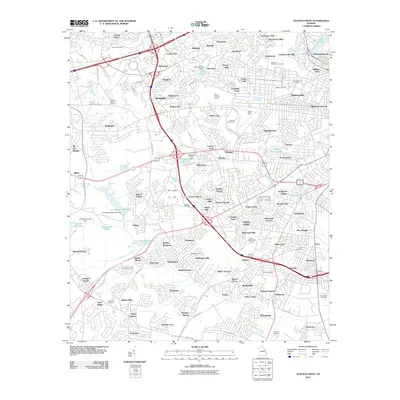 2011 Augusta West2011 Print · USGSAugusta during its early 21st-century growth shows a landscape of expanding neighborhoods intertwined with historic cemeteries and aviation history. Researchers can trace local lineage through Westover Memorial Cemetery or explore landmarks like Daniel Field and Lombard Millpond.
 - 2011 Map of Thomson East, 2011 Print
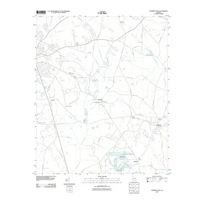 2011 Thomson East2011 Print · USGSMcDuffie County's rural character and long-standing family homesteads are preserved here in the era before major modern expansion. Researchers can trace ancestral locations through numerous burial grounds like Salem Cemetery and Iron Hill Cemetery or locate old waterworks at Usry Pond Dam.
 - 2011 Map of Leah, 2011 Print
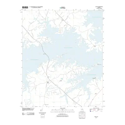 2011 Leah2011 Print · USGSColumbia County’s shoreline in the early twenty-first century is defined by the massive reach of the J. Strom Thurmond Reservoir. Local researchers can locate Dunn Chapel, trace family names at Blanchard Cemetery, and find old routes like Petersburg Rd.
 - 2011 Map of Grovetown, 2011 Print
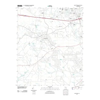 2011 Grovetown2011 Print · USGSGrovetown and its surrounding suburbs were rapidly evolving in the early twenty-first century as military and residential interests converged. Genealogists and local historians can trace family roots at the Beale Cemetery or explore the northern edges of Fort Gordon.
 - 2011 Map of Evans, 2011 Print
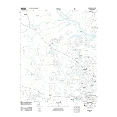 2011 Evans2011 Print · USGSThe Georgia side of the Savannah River is shown here during a period of rapid suburban growth in the early twenty-first century. Researchers can trace the layout of residential developments alongside older landmarks like Old Avery Cemetery, German Island, and the Woodlawn Lookout Tower.
 - 2011 Map of Martinez, 2011 Print
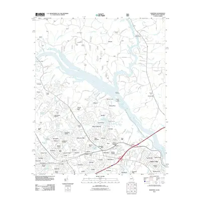 2011 Martinez2011 Print · USGSThe Georgia-South Carolina border comes alive in this digital-era survey of the growing suburbs northwest of Augusta. Researchers can trace family history at Abilene Cemetery and Hopewell Cemetery, or locate defunct transit points like Petersburg Station and Griffith Siding.
 - 2012 Map of Clarks Hill, 2012 Print
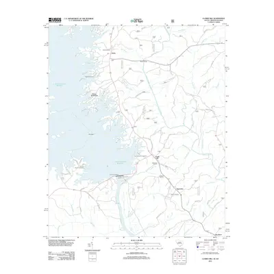 2012 Clarks Hill2012 Print · USGSThe Savannah River valley transformed into a massive reservoir system in the early twenty-first century, altering the landscape of McCormick County. Genealogists can trace family heritage through sites like Jones Cemetery, Ashbury Cemetery, and the settlement of Clarks Hill.
 - 2014 Map of Appling, 2014 Print
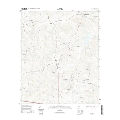 2014 Appling2014 Print · USGSThe rural crossroads of Columbia County are preserved here during a period of transition in the mid-2010s. Genealogists and local historians can trace family roots near Susie Bostic Cem or explore the old settlements of Phinizy and Appling.
 - 2014 Map of Winfield, 2014 Print
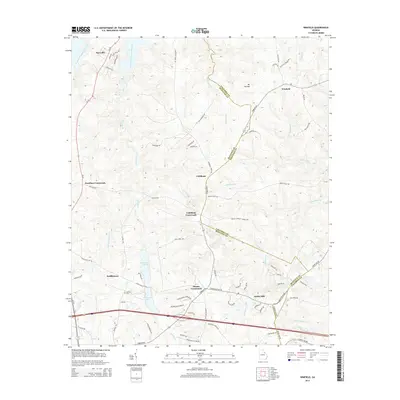 2014 Winfield2014 Print · USGSThe borderlands of McDuffie and Columbia counties are captured here in the early twenty-first century, showing a rural landscape shaped by ancient creeks and modern reservoirs. Researchers can locate the historic Ansley Mill, find family roots at Collins Cemetery, or trace old routes like Stagecoach Road.
 - 2014 Map of Avondale, 2014 Print
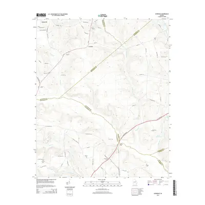 2014 Avondale2014 Print · USGSEastern Georgia's rural borderlands are captured in detail during the early twenty-first century, showing a landscape defined by family estates and local creeks. Researchers can locate numerous family burial grounds like Silver Run Cem and Arrington Cem or trace the path of Nortons Millrace.
 - 2014 Map of Augusta West, 2014 Print
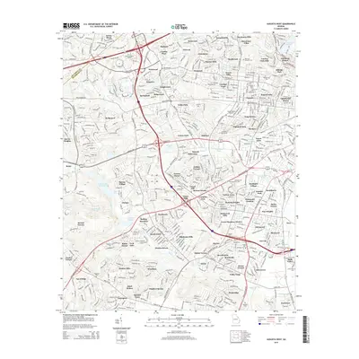 2014 Augusta West2014 Print · USGSAugusta and its western suburbs appear here in the early twenty-first century as a sprawling network of established neighborhoods and major institutions. Researchers can locate several burial sites like Hillcrest Memorial Park Cem and trace developments near Daniel Field Airport.
 - 2014 Map of Thomson East, 2014 Print
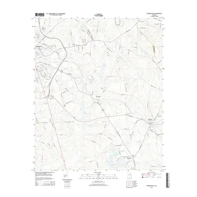 2014 Thomson East2014 Print · USGSThe eastern edges of McDuffie County come alive in the early twenty-first century, showing the established communities of Thomson and Dearing. Genealogists can locate several family-named landmarks and burial grounds including Watson Family Cem, Ivory Family Cem, and Megahee.
 - 2014 Map of Leah, 2014 Print
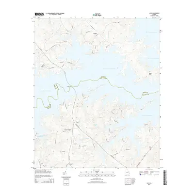 2014 Leah2014 Print · USGSThe shorelines of Columbia and Lincoln counties are captured here in the early twenty-first century as the reservoir shapes the local geography. Family researchers can locate Dunn Chapel and historic burial grounds like Hardin Cem or Blanchard Cem.
 - 2014 Map of Evans, 2014 Print
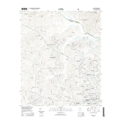 2014 Evans2014 Print · USGSThe suburban development of Columbia County is on full display in the mid-2010s as new neighborhoods expand around Evans. Researchers can trace the transition from rural roots to modern community through Hopewell Cem, Ropers Crossroads, and Windmill Plantation.
 - 2014 Map of Martinez, 2014 Print
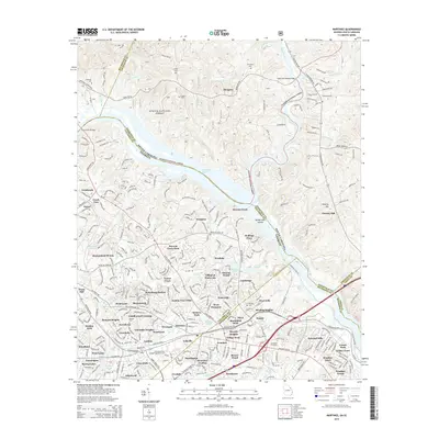 2014 Martinez2014 Print · USGSThe Georgia and South Carolina border along the Savannah River is shown in detail here during a period of significant suburban expansion. Genealogists and local historians can trace family markers at Abilene Cem and Darling Cem or locate the Georgia Military College-Augusta Campus.
 - 2014 Map of Woodlawn, 2014 Print
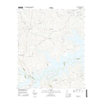 2014 Woodlawn2014 Print · USGSGeorgia's reservoir-lined borders in Lincoln and Columbia counties come into sharp focus in this mid-2010s survey. Researchers can trace rural lineages through Saint Pauls Methodist Church Cem and old settlements like Amity and Leathersville.
 - 2014 Map of Harlem, 2014 Print
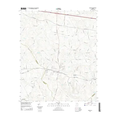 2014 Harlem2014 Print · USGSThe rural landscapes and family settlements of Columbia County are captured here in the early twenty-first century. Researchers can trace local heritage through numerous burial sites like Sturgis Cem and historic locations such as Old Union Baptist Church.
 - 2014 Map of Grovetown, 2014 Print
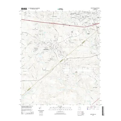 2014 Grovetown2014 Print · USGSGrovetown and the surrounding Georgia countryside are shown here during a period of rapid residential growth and military activity. Researchers can trace the development of suburban neighborhoods like Avery Landing or locate ancestral burial sites at Beard Young Cem and Inglett Cem.
 - 2014 Map of Clarks Hill, 2014 Print
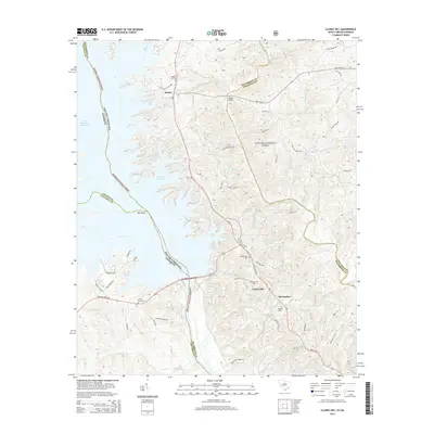 2014 Clarks Hill2014 Print · USGSThe South Carolina-Georgia borderlands near the Savannah River come into focus in this modern era survey. Genealogists can trace family heritage at Modoc Cem and Middleton Cem, or locate landmarks like Madoc Bridge and the historic Middleton Ferry Rd.
 - 2017 Map of Clarks Hill, 2017 Print
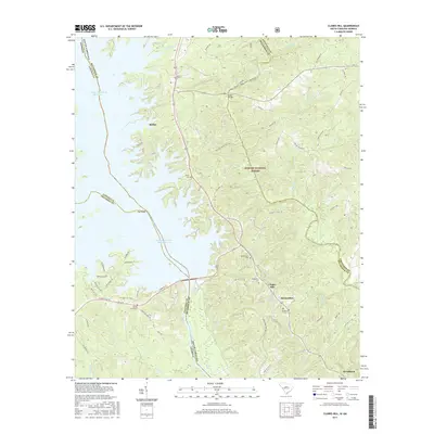 2017 Clarks Hill2017 Print · USGSMcCormick County, South Carolina, and the Georgia border are mapped here in the late twenty-teens, where the sprawling J. Strom Thurmond Reservoir meets the Sumter National Forest. Local historians can trace family roots through sites like Jones Cem, Bethlehem Cem, and the old Middleton Ferry Rd.
Showing maps 1-25 of 36
Top cities of Columbia County
Frequently asked questions
- What are the different types of historical maps available for Columbia County?
- What is the oldest map of Columbia County?
- Where can I purchase historical maps of Columbia County for my home or office?
- Where can I download high-res historical maps of Columbia County?
- Are there historical topographic maps available for Columbia County?
- Is there historical aerial imagery available for Columbia County?
- Where are historical maps of Columbia County sourced from?