2020s Maps of Columbia County, Georgia
Explore 24 historic maps of Columbia County from the 2020s. These maps offer a rare glimpse into what life looked like during the 2020s — showing old roads, neighborhoods, homes, and landmarks that have changed or disappeared over time.
Whether you're researching your family's past, planning a metal detecting trip, or studying how Columbia County's landscape evolved across the 2020s, these high-resolution maps are a powerful tool for exploring the history of this region.
- Focus on a specific era: All maps on this page are from the 2020s, giving you a focused view of this time period.
- See what’s changed: Compare century-old streets, trails, and buildings to today's modern landscape using overlays and satellite layers.
- Research with precision: Use these maps for genealogy, historical research, land use analysis, or educational projects.
- View, download, or print: Maps are fully viewable online in high resolution, and can be downloaded or printed for your own records.
Start exploring Columbia County's history through authentic maps from the 2020s. This is your window into the past.
Columbia County, GA maps
(24)- 2020 Map of Clarks Hill, 2020 Print
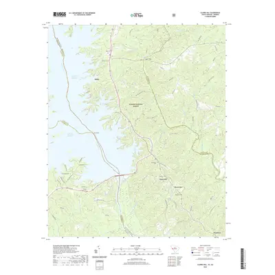 2020 Clarks Hill2020 Print · USGSMcCormick County, South Carolina, is shown here as the modern lakefront and forest landscape it has become by the early twenty-first century. Researchers can locate many local burial sites such as Jones Cem and Spring Grove Cem, or trace the winding Bartram Trail along the Savannah River.
 - 2020 Map of Leah, 2020 Print
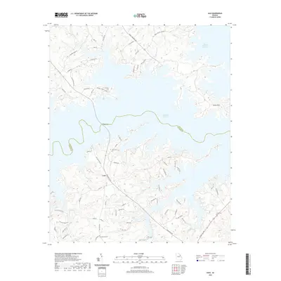 2020 Leah2020 Print · USGSThe Georgia lake country of Columbia County is captured here as the reservoir's fingers shape the local geography. Researchers can find family history at Blanchard Cem and Hardin Cem, or trace the old routes near Leah and Legg Bridge.
 - 2020 Map of Evans, 2020 Print
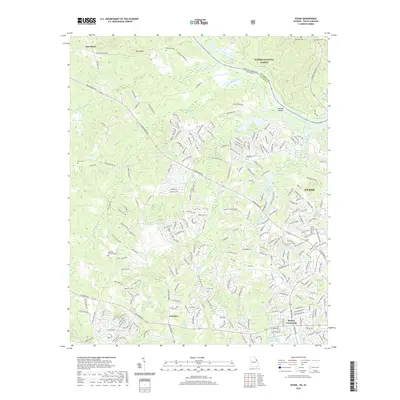 2020 Evans2020 Print · USGSColumbia County at the Georgia-South Carolina border shows a mix of riverfront forest and suburban growth. Genealogists can locate family landmarks like Old Avery Cem and McKie Cem or trace the drainage of Kiokee Creek into the Savannah River.
 - 2020 Map of Woodlawn, 2020 Print
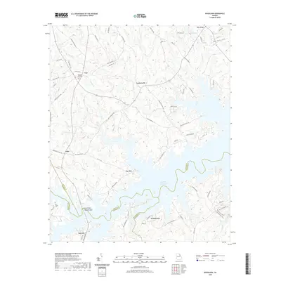 2020 Woodlawn2020 Print · USGSThe northern reaches of the Savannah River basin are captured here as they appeared recently, showing the extensive shoreline of the J. Strom Thurmond Reservoir. Researchers can locate family landmarks like Hogan Cem and Old Griffin Cem or trace the rural crossroads of Leathersville and Amity.
 - 2020 Map of Thomson East, 2020 Print
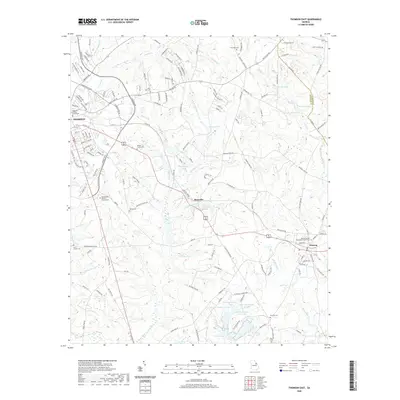 2020 Thomson East2020 Print · USGSEastern Georgia's rural landscape comes into focus during the early twenty-first century, spanning from the city of Thomson through the outlying settlements of Boneville and Dearing. Researchers can trace local heritage through numerous family burial sites like Salem Cem and Saint Luke Cem.
 - 2020 Map of Avondale, 2020 Print
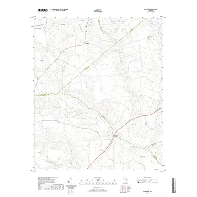 2020 Avondale2020 Print · USGSThe rural borderlands of Richmond and McDuffie counties are documented here in the modern era, showing a landscape shaped by creek systems and deep family roots. Researchers can trace numerous ancestral sites, from Silver Run Cem and Reeves Family Cem to the waters of James Pond.
 - 2020 Map of Harlem, 2020 Print
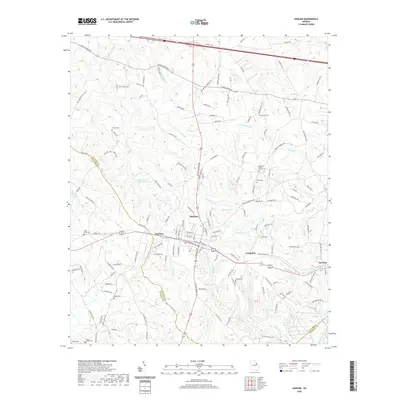 2020 Harlem2020 Print · USGSThe Georgia Piedmont near the Columbia and McDuffie county line is shown here in the early twenty-first century. Genealogists can trace family names at numerous local sites like Old Union Baptist Church Cem, Walker Cem, and Knox Cem.
 - 2020 Map of Grovetown, 2020 Print
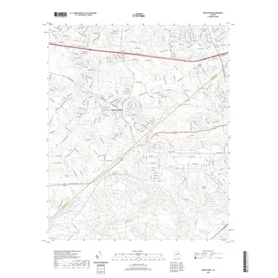 2020 Grovetown2020 Print · USGSGrovetown and the western edges of the Augusta area appear here during a period of significant suburban expansion and residential development. Local researchers can locate several family burial grounds including Newman Cem, Bugg Cem, and Beale Cem amidst the modern street networks.
 - 2020 Map of Martinez, 2020 Print
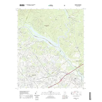 2020 Martinez2020 Print · USGSThe Savannah River borderlands near Augusta come into focus in this recent survey of the Georgia and South Carolina state line. Genealogists and local historians can trace residential growth around Martinez and locate historic sites like Abilene Baptist Church Cem or the Ninety Nine Islands.
 - 2020 Map of Winfield, 2020 Print
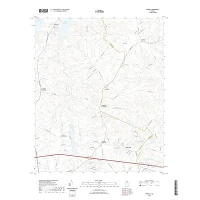 2020 Winfield2020 Print · USGSMcDuffie and Columbia counties are seen here in recent years as a landscape of historic crossroads and reservoir shorelines. Local history buffs can trace the family names and routes surrounding Ansley Mill, Collins Cem, and Winfield.
 - 2020 Map of Appling, 2020 Print
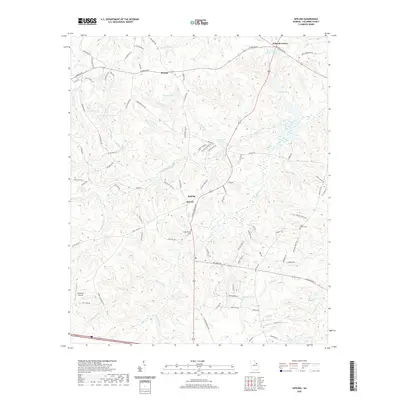 2020 Appling2020 Print · USGSColumbia County’s rural character and civic heart are on display in this contemporary look at the Appling area. Researchers can trace land patterns around Appling Court House, find the Susie Bostic Cem, and explore the creek-fed waters of Pollards Lake.
 - 2020 Map of Augusta West, 2020 Print
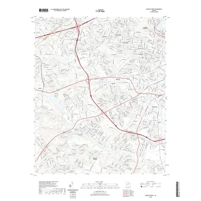 2020 Augusta West2020 Print · USGSAugusta and its western reaches are shown in the early twenty-first century as a bustling center of medicine and education. Researchers can trace family history through numerous burial sites like Hillcrest Cemetery, Chavous Cem, and Brandon Cem.
 - 2024 Map of Winfield, 2024 Print
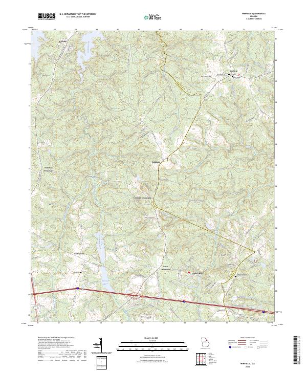 2024 Winfield2024 Print · USGSThe rural landscapes of McDuffie and Columbia Counties are captured here in the early twenty-first century, showing a region defined by its historic crossroads. Researchers can trace family roots through sites like Sharon Baptist Church Cem or explore the geography of Scuffletown and Ansley Mill.
 - 2024 Map of Appling, 2024 Print
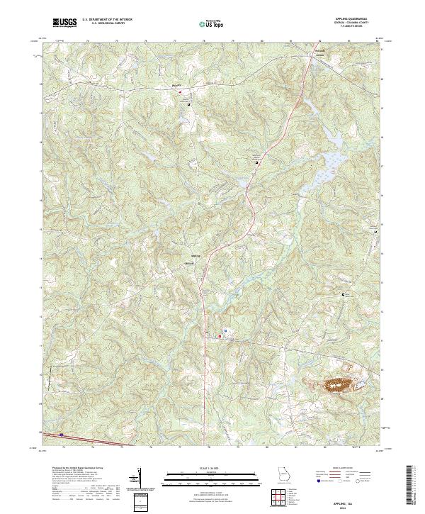 2024 Appling2024 Print · USGSNear the Savannah River in the contemporary era, this landscape remains centered around the historic county seat at Appling Court House. Genealogists and researchers can trace local family landmarks through Walnut Grove Cem and the Susie Bostic Cem.
 - 2024 Map of Evans, 2024 Print
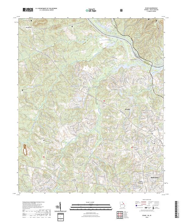 2024 Evans2024 Print · USGSColumbia County, Georgia, is captured here during its contemporary suburban transition along the Savannah River. Researchers can trace local lineage through numerous cemeteries like Snellings Memorial Cem and Friendship Cem or locate the cascades at Great Falls.
 - 2024 Map of Thomson East, 2024 Print
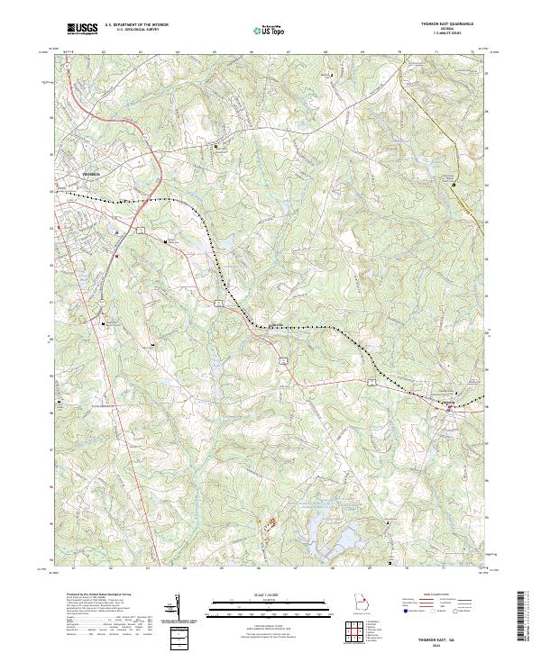 2024 Thomson East2024 Print · USGSMcDuffie County comes into focus in the 2020s, showing the growth of Thomson alongside established rural communities. Trace family roots through Saint Luke's Church Cem, Iron Hill Cem, and the McDuffie County Courthouse.
 - 2024 Map of Woodlawn, 2024 Print
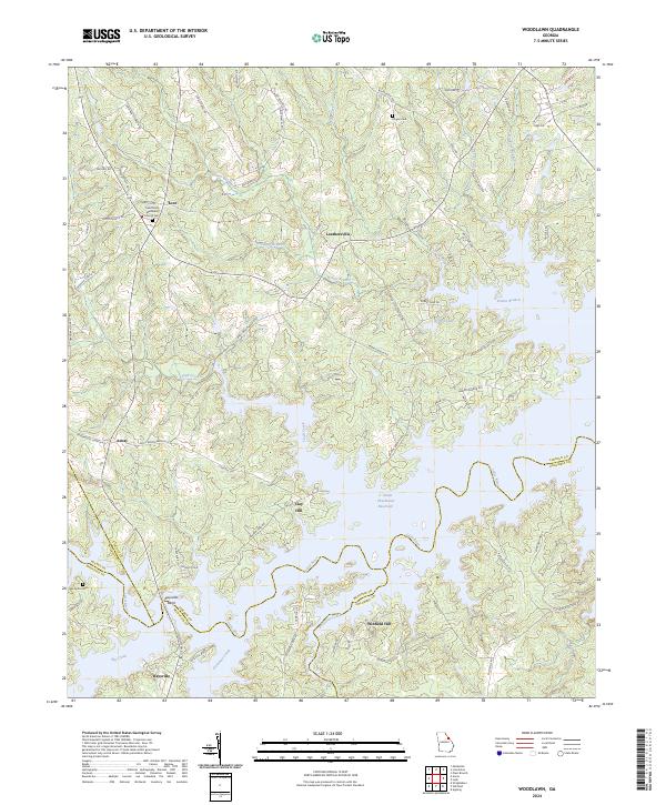 2024 Woodlawn2024 Print · USGSThe rural borderlands of Lincoln and Columbia counties meet here at the sprawling J. Strom Thurmond Reservoir. Researchers can trace the history of upland settlements like Leathersville and Amity or locate old family burial sites at Hogan Cem and Old Griffin Cem.
 - 2024 Map of Leah, 2024 Print
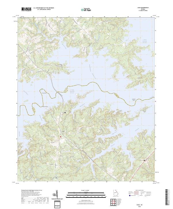 2024 Leah2024 Print · USGSThe borderlands of Columbia and Lincoln counties are defined by the expansive waters of the Savannah River basin. Researchers can trace historical river crossings like Price Ferry and locate family burial sites at Hardin Cem or Blanchard Cem.
 - 2024 Map of Avondale, 2024 Print
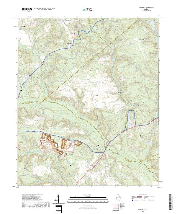 2024 Avondale2024 Print · USGSRichmond County's rural landscape is shown here as a patchwork of military lands and established family homesteads. Genealogists can trace family names through landmarks like the Reeves Family Cem, Arrington Cem, and the historic Mount Horeb Ch.
 - 2024 Map of Martinez, 2024 Print
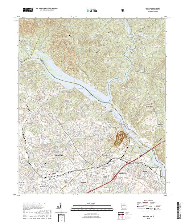 2024 Martinez2024 Print · USGSThe Savannah River borderlands between Georgia and South Carolina come alive in this modern survey of the Augusta suburbs. Researchers can trace ancestral sites like Abilene Baptist Church Cem or find old river landmarks including Ninety Nine Islands and Furys Ferry.
 - 2024 Map of Grovetown, 2024 Print
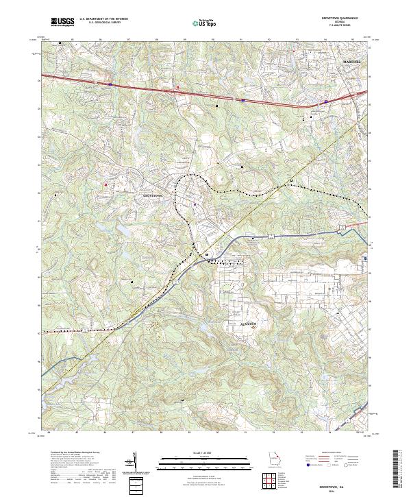 2024 Grovetown2024 Print · USGSThe border of Richmond and Columbia counties comes alive in this contemporary view of the Grovetown and Augusta suburbs. Researchers can locate numerous family burial sites like Newman Cem and the unique World War Two German Prisoner of War Cem near Fort Gordon.
 - 2024 Map of Harlem, 2024 Print
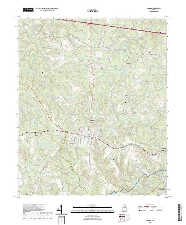 2024 Harlem2024 Print · USGSIn the modern era of East Georgia, this map details the intersection of rural heritage and military land use near the Columbia County line. Genealogists and historians can locate numerous family sites, from Old Union Baptist Church Cemetery to the quiet settlements of Sawdust and Berzelia.
 - 2024 Map of Augusta West, 2024 Print
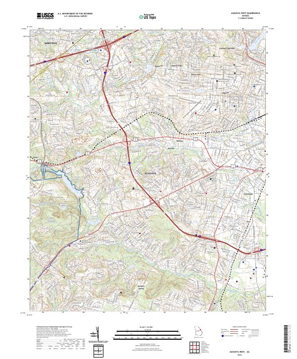 2024 Augusta West2024 Print · USGSAugusta's western expansion and military edges are documented in this recent survey. Genealogists and local historians can locate many cemeteries, including Summerville Cem and Mount Olive Memorial Gardens, alongside the historic Lombard Millpond.
 - 2024 Map of Clarks Hill, 2024 Print
 2024 Clarks Hill2024 Print · USGSThe Savannah River borderlands in South Carolina and Georgia are shown here as the modern landscape of the reservoir era. Genealogists can locate numerous rural churches and graveyards like Hosanna Baptist Church and Asbury Cem, or trace the legacy of river travel at Gilchrist Ferry.
End of results
Showing maps 1-24 of 24
Top cities of Columbia County
Frequently asked questions
- What are the different types of historical maps available for Columbia County?
- What is the oldest map of Columbia County?
- Where can I purchase historical maps of Columbia County for my home or office?
- Where can I download high-res historical maps of Columbia County?
- Are there historical topographic maps available for Columbia County?
- Is there historical aerial imagery available for Columbia County?
- Where are historical maps of Columbia County sourced from?