Old Maps of Columbia County, Georgia for Metal Detecting
Plan your next treasure hunt with 50 historic maps of Columbia County. Find old homesites, ghost towns, trails, and gathering spots that may be lost to time — perfect for identifying promising metal detecting locations.
- Locate forgotten sites: Uncover places like long-lost settlements, abandoned rail lines, or gathering spots.
- Plan better hunts: Use map overlays combined with LiDAR or satellite views to narrow in on historically rich areas.
- Made for detectorists: Thousands of hobbyists use these maps to discover relics, coins, and hidden history.
Use these historic maps to boost your research and find new opportunities beneath the surface of Columbia County.
Columbia County, GA maps
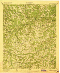
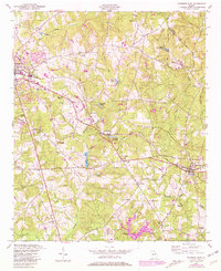
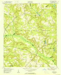
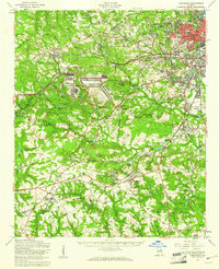
(50)- 1892 Map of Mc Cormick
 1892 Mc Cormick1892 Print · USGSCovers Columbia County, including Augusta, North Augusta, and other nearby areas5 unique versions available
 - 1912 Map of Mc Cormick, 1913 Print
 1912 Mc Cormick1913 Print · USGSCovers Columbia County, including Augusta, North Augusta, and other nearby areas
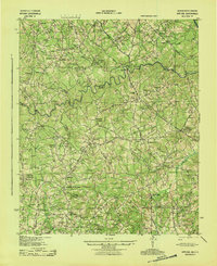
 - 1920 Map of Clarks Hill
 1920 Clarks Hill1920 Print · USGSCovers Columbia County, including Augusta, North Augusta, and other nearby areas
 - 1921 Map of Clarks Hill
 1921 Clarks Hill1921 Print · USGSCovers Columbia County, including Augusta, North Augusta, and other nearby areas3 unique versions available
 - 1921 Map of Appling
 1921 Appling1921 Print · USGSCovers Columbia County, including Appling, Loce, and other nearby areas3 unique versions available
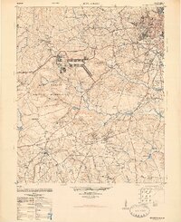
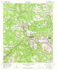
 - 1922 Map of Harlem
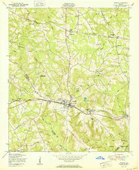
 1922 Harlem1922 Print · USGSCovers Columbia County, including Augusta, Thomson, and other nearby areas3 unique versions available
 - 1922 Map of Hephzibah
 1922 Hephzibah1922 Print · USGSCovers Columbia County, including Augusta, Grovetown, and other nearby areas3 unique versions available
 - 1941 Map of Clarks Hill, 1957 Print
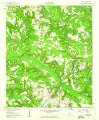
 1941 Clarks Hill1957 Print · USGSCovers Columbia County, including Augusta, North Augusta, and other nearby areas2 unique versions available
 - 1942 Map of Clarks Hill
 1942 Clarks Hill1942 Print · USGSCovers Columbia County, including Augusta, North Augusta, and other nearby areas
 - 1943 Map of Appling
 1943 Appling1943 Print · USGSCovers Columbia County, including Appling, Loce, and other nearby areas
 - 1948 Map of Hephzibah
 1948 Hephzibah1948 Print · USGSCovers Columbia County, including Augusta, Grovetown, and other nearby areas2 unique versions available
 - 1948 Map of Harlem
 1948 Harlem1948 Print · USGSCovers Columbia County, including Augusta, Thomson, and other nearby areas2 unique versions available
 - 1948 Map of Harlem, 1969 Print
 1948 Harlem1969 Print · USGSCovers Columbia County, including Augusta, Harlem, and other nearby areas2 unique versions available
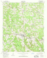
 - 1948 Map of Thomson East, 1981 Print
 1948 Thomson East1981 Print · USGSCovers Columbia County, including Thomson, Dearing, and other nearby areas
 - 1950 Map of Grovetown
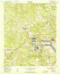 1950 Grovetown1950 Print · USGSCovers Columbia County, including Augusta, Grovetown, and other nearby areas
 - 1950 Map of Dearing
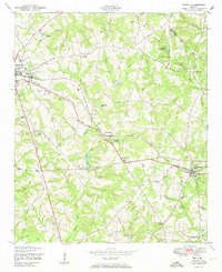 1950 Dearing1950 Print · USGSCovers Columbia County, including Thomson, Dearing, and other nearby areas
 - 1950 Map of Harlem
 1950 Harlem1950 Print · USGSCovers Columbia County, including Augusta, Harlem, and other nearby areas
 - 1950 Map of Avondale
 1950 Avondale1950 Print · USGSCovers Columbia County, including Augusta, Avondale, and other nearby areas
 - 1950 Map of Augusta West
 1950 Augusta West1950 Print · USGSCovers Columbia County, including Augusta, Fairvale, and other nearby areas
 - 1953 Map of Athens, 1966 Print
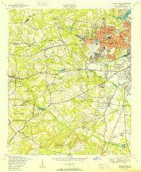
 1953 Athens1966 Print · USGSCovers Columbia County, including Augusta, Athens, and other nearby areas3 unique versions available
 - 1957 Map of Avondale, 1960 Print
 1957 Avondale1960 Print · USGSCovers Columbia County, including Augusta, Avondale, and other nearby areas3 unique versions available
 - 1957 Map of Augusta West, 1960 Print
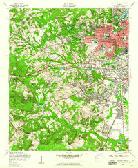 1957 Augusta West1960 Print · USGSCovers Columbia County, including Augusta, Fairvale, and other nearby areas4 unique versions available
 - 1957 Map of Hephzibah, 1961 Print
 1957 Hephzibah1961 Print · USGSCovers Columbia County, including Augusta, Grovetown, and other nearby areas2 unique versions available
 - 1957 Map of Grovetown, 1973 Print
 1957 Grovetown1973 Print · USGSCovers Columbia County, including Augusta, Grovetown, and other nearby areas4 unique versions available
 - 1958 Map of Athens
 1958 Athens1958 Print · USGSCovers Columbia County, including Augusta, Athens, and other nearby areas
Showing maps 1-25 of 50
Top cities of Columbia County
Frequently asked questions
- What are the different types of historical maps available for Columbia County?
- What is the oldest map of Columbia County?
- Where can I purchase historical maps of Columbia County for my home or office?
- Where can I download high-res historical maps of Columbia County?
- Are there historical topographic maps available for Columbia County?
- Is there historical aerial imagery available for Columbia County?
- Where are historical maps of Columbia County sourced from?