Old Maps of Avans, Georgia for Academic Research
Study the evolution of Avans with 18 high-resolution historic maps. Whether you're teaching, researching, or modeling changes in land use, these maps provide essential visual documentation of urban, environmental, and geographic change.
- Analyze long-term change: Track patterns in development, transportation, and natural features.
- Ideal for environmental or urban studies: Support academic projects with primary historical map data.
- Use in the classroom or lab: Educators and researchers rely on these maps to bring historical context to life.
These maps are a powerful tool for teaching, research, and visualizing how Avans has changed over the decades.
Avans, GA maps
(18)- 1886 Map of Stevenson
 1886 Stevenson1886 Print · USGSNortheast Alabama at the peak of the railroad era shows a landscape tied to the river and the rails. Genealogists can trace family landmarks like Coffey's Store or locate river crossings such as Caperton Ferry and Snodgrass Ferry.
 - 1892 Map of Stevenson
 1892 Stevenson1892 Print · USGSNortheast Alabama and the Tennessee border in the 1890s reveal a landscape of mountain coves and vital river crossings. Genealogists and historians can trace rail junctions at Stevenson, river landings like Coffey's Ferry, and landmarks like Nickajack Cave.
 - 1895 Map of Stevenson
 1895 Stevenson1895 Print · USGSThe Tennessee River valley and surrounding plateaus were a hub of rail and river commerce at the close of the century. Genealogists can trace family crossings at Island Creek Ferry or locate old communities like Bellefonte, Stevenson, and Valley Head.6 unique versions available
 - 1936 Map of Shellmound
 1936 Shellmound1936 Print · USGSThe tristate borderlands of Georgia, Alabama, and Tennessee are captured here in the mid-1930s before the flooding of the Guntersville Reservoir. Genealogists can locate family landmarks like Stephens Cem, Burnett Chapel, and several local schools like Poplar Spring Sch.
 - 1945 Map of Shellmound
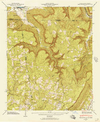 1945 Shellmound1945 Print · USGSThe tri-state border of Tennessee, Alabama, and Georgia was a landscape of remote hollows and mountain gaps at the close of the 1940s. Genealogists can trace family roots through Murphy Cem and Free Home Ch, or locate vanished crossroads at Cole City and Stephensville.2 unique versions available
 - 1946 Map of Shellmound, 1947 Print
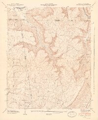 1946 Shellmound1947 Print · USGSSand Mountain and the Tennessee River valley meet in this post-war tri-state survey of the Georgia, Alabama, and Tennessee borders. Researchers can trace rural life and ancestry through sites like State Line Cem, Shanty Town Ch, and the Shellmound Sta along the rail line.2 unique versions available
 - 1955 Map of Rome
 1955 Rome1955 Print · USGSThe tri-state borderlands of Georgia, Alabama, and Tennessee appear in the mid-fifties as a landscape of ridge-and-valley industry and river navigation. Genealogists can trace family footprints near Chattanooga, the iron works of Gadsden, and textile towns like Trion or Summerville.
 - 1958 Map of Rome, 1966 Print
 1958 Rome1966 Print · USGSNorthwest Georgia and neighboring Tennessee and Alabama are captured here in the late fifties, showcasing a landscape of high ridges and river valleys. Researchers can trace historic rail lines like the Seaboard Air Line RR and explore the bounds of Cloudland Canyon State Park or Fort Oglethorpe.3 unique versions available
 - 1961 Map of Rome
 1961 Rome1961 Print · USGSNorthwest Georgia and neighboring Tennessee and Alabama are shown here at a moment of significant mid-century growth. Researchers can trace the rail networks of the Central of Georgia or locate landmarks within Chickamauga and Chattanooga Nat Military Park.
 - 1963 Map of Rome
 1963 Rome1963 Print · USGSThe tri-state corner of Georgia, Alabama, and Tennessee is captured here during a period of massive reservoir expansion and post-war growth. Genealogists and historians can trace the rail corridors of the Southern Ry or locate landmarks like Fort Oglethorpe and Cloudland Canyon State Park.
 - 1970 Map of New Home, 1972 Print
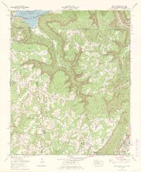 1970 New Home1972 Print · USGSThe tri-state border of Georgia, Alabama, and Tennessee comes alive in the early seventies as the Tennessee River valley meets the coal-rich ridges. Genealogists and historians can trace family roots at Reeves Cem or Stephens Cem, and locate landmarks like Nickajack Cave and Cole City.2 unique versions available
 - 1981 Map of Chickamauga, 1982 Print
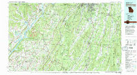 1981 Chickamauga1982 Print · USGSThe tri-state border region of Georgia, Alabama, and Tennessee comes into focus during the early eighties, defined by the towering ridges of the Appalachians. Historians can trace the preserved grounds of Chickamauga and Chattanooga National Military Park and old rail stops like Rising Fawn or Sulphur Springs.2 unique versions available
 - 1982 Map of New Home, 1983 Print
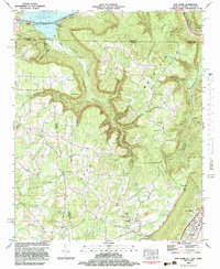 1982 New Home1983 Print · USGSThe tri-state border region of Georgia, Alabama, and Tennessee is captured here in the early eighties, centered on the heights of SAND MOUNTAIN. Researchers can trace old mountain roads and industrial footprints, from Strip Mines to landmarks like Nickajack Cave and Cole City.2 unique versions available
 - 2010 Map of New Home, 2010 Print
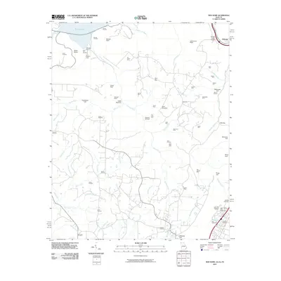 2010 New Home2010 Print · USGSThe Georgia and Tennessee borderlands in the early twenty-first century reveal a landscape shaped by coal extraction and deep gulfs. Genealogists and historians can trace numerous family burial sites like Clouse Cemetery and Reeves Cemetery alongside legacy mining operations such as the New England Mine.
 - 2014 Map of New Home, 2014 Print
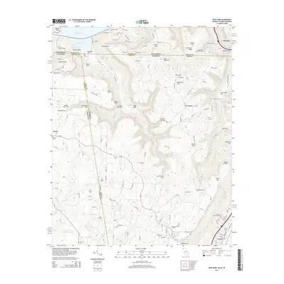 2014 New Home2014 Print · USGSThe tri-state border of Georgia, Alabama, and Tennessee is mapped here in the early twenty-first century, centered on the high plateau of Sand Mountain. Family researchers can locate numerous burial sites including Ebenezer Cemetery and Porter Cemetery near Cole City.
 - 2017 Map of New Home, 2017 Print
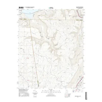 2017 New Home2017 Print · USGSThe tri-state corner of Tennessee, Alabama, and Georgia is shown here at the height of its contemporary rural development. Local researchers can find many family landmarks and cemeteries like State Line Cem, Porter Cem, and the old settlement of Cole City.
 - 2020 Map of New Home, 2020 Print
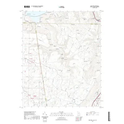 2020 New Home2020 Print · USGSThe tri-state borders of Georgia, Alabama, and Tennessee meet on the slopes of Sand Mountain in the early twenty-first century. Genealogists and local historians can trace family locations through numerous rural burial sites like State Line Cemetery and Clouse Cemetery.
 - 2024 Map of New Home, 2024 Print
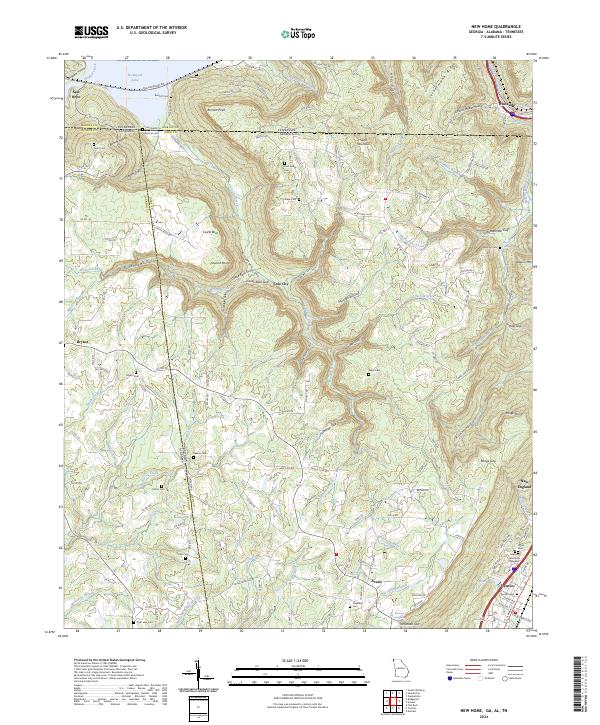 2024 New Home2024 Print · USGSThe tri-state border of Georgia, Alabama, and Tennessee comes alive on this map, showing the rugged topography of Sand Mountain and Nickajack Lake. Family historians can trace small burial grounds like Ford Family Cem and State Line Cem or early settlements like Cole City.
End of results
Showing maps 1-18 of 18
Top cities near Avans
- Chattanooga historical maps
- Signal Mountain historical maps
- South Pittsburg historical maps
- Jasper historical maps
- Henagar historical maps
- Bridgeport historical maps
See more
Frequently asked questions
- What are the different types of historical maps available for Avans?
- What is the oldest map of Avans?
- Where can I purchase historical maps of Avans for my home or office?
- Where can I download high-res historical maps of Avans?
- Are there historical topographic maps available for Avans?
- Is there historical aerial imagery available for Avans?
- Where are historical maps of Avans sourced from?