Old Maps of Dawsonville, Georgia for Genealogy
Trace your family roots with 21 historic maps of Dawsonville. These high-res maps reveal old neighborhoods, homesites, landmarks, and streets — helping you uncover where your ancestors lived and how the area evolved over time.
- Explore historic neighborhoods: Identify where your relatives may have lived in the 1800s or 1900s.
- Compare maps over time: Trace the changes in streets, buildings, and landmarks for multi-generational research.
- Perfect for genealogy & ancestry research: Used by family historians and researchers to map out lineage and migration.
These maps are an incredible resource for exploring your personal connection to Dawsonville's past.
Dawsonville, GA maps
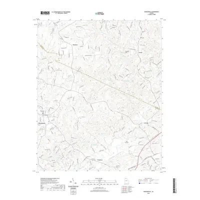
(21)- 1890 Map of Suwanee
 1890 Suwanee1890 Print · USGSNorth Georgia in the 1890s was a landscape of river-powered commerce and gold prospecting. Genealogists and historians can trace family-named river crossings like Jones Ferry and Pirkle's Ferry or locate the historic Kin Mori Gold Mine.
 - 1894 Map of Suwanee
 1894 Suwanee1894 Print · USGSNorth Georgia in the late nineteenth century was a landscape of river ferries and rising industry, from marble quarries to gold mines. Genealogists can trace family landmarks like Fields Cross Roads, the Kin Mori Gold Mine, and Fort Buffington.6 unique versions available
 - 1955 Map of Rome
 1955 Rome1955 Print · USGSThe tri-state borderlands of Georgia, Alabama, and Tennessee appear in the mid-fifties as a landscape of ridge-and-valley industry and river navigation. Genealogists can trace family footprints near Chattanooga, the iron works of Gadsden, and textile towns like Trion or Summerville.
 - 1958 Map of Rome, 1966 Print
 1958 Rome1966 Print · USGSNorthwest Georgia and neighboring Tennessee and Alabama are captured here in the late fifties, showcasing a landscape of high ridges and river valleys. Researchers can trace historic rail lines like the Seaboard Air Line RR and explore the bounds of Cloudland Canyon State Park or Fort Oglethorpe.3 unique versions available
 - 1961 Map of Rome
 1961 Rome1961 Print · USGSNorthwest Georgia and neighboring Tennessee and Alabama are shown here at a moment of significant mid-century growth. Researchers can trace the rail networks of the Central of Georgia or locate landmarks within Chickamauga and Chattanooga Nat Military Park.
 - 1963 Map of Rome
 1963 Rome1963 Print · USGSThe tri-state corner of Georgia, Alabama, and Tennessee is captured here during a period of massive reservoir expansion and post-war growth. Genealogists and historians can trace the rail corridors of the Southern Ry or locate landmarks like Fort Oglethorpe and Cloudland Canyon State Park.
 - 1964 Map of Juno, 1965 Print
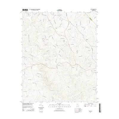
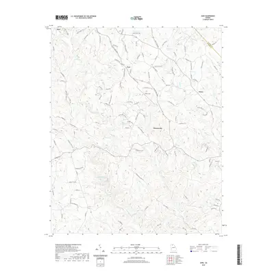
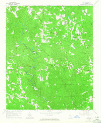 1964 Juno1965 Print · USGSDawson and Lumpkin counties in the mid-1960s were defined by the winding waters of Amicalola Creek and a network of isolated rural settlements. Researchers can trace family history through sites like McKees Chapel, the West Side Sch, and the Covered Bridge.3 unique versions available
 - 1964 Map of Dawsonville, 1966 Print
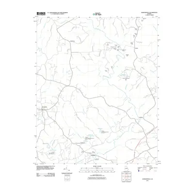
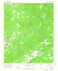 1964 Dawsonville1966 Print · USGSDawson County and the Lumpkin County border are captured here in the mid-sixties, a period when the river valleys remained dotted with small crossroads communities. Genealogists can locate family landmarks such as Palmer Cem and historic local congregations like Antioch Ch or Pleasant Hill Ch.2 unique versions available
 - 1981 Map of Cartersville, 1982 Print
 1981 Cartersville1982 Print · USGSNorth Georgia at the start of the eighties shows a landscape defined by massive reservoirs and historic rail corridors. Researchers can trace the heritage of the Etowah Indian Mounds or locate old junctions along the Southern Railway and Seaboard Coast Line.2 unique versions available
 - 1997 Map of Dawsonville, 1999 Print
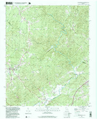 1997 Dawsonville1999 Print · USGSDawsonville and the surrounding foothills appear in detail during the late nineties, showing a landscape defined by the winding Etowah River. Local historians can trace old community centers like Auraria and Landrum, alongside genealogical markers such as New Bethel Cem and Antioch Ch.
 - 1997 Map of Juno, 1999 Print
 1997 Juno1999 Print · USGSDawson County in the late nineties is documented here as the local landscape transitioned between protected forest and developing rural hubs. Researchers can locate community centers like Juno, the landmark Covered Bridge, and various historic sites including McKees Chapel and West Side Sch.
 - 2011 Map of Juno, 2011 Print
 2011 Juno2011 Print · USGSCovers Dawsonville, including Juno, McKee, and other nearby areas
 - 2011 Map of Dawsonville, 2011 Print
 2011 Dawsonville2011 Print · USGSCovers Dawsonville, including Auraria, Burtsboro, and other nearby areas
 - 2014 Map of Juno, 2014 Print
 2014 Juno2014 Print · USGSCovers Dawsonville, including Juno, McKee, and other nearby areas
 - 2014 Map of Dawsonville, 2014 Print
 2014 Dawsonville2014 Print · USGSCovers Dawsonville, including Auraria, Burtsboro, and other nearby areas
 - 2017 Map of Dawsonville, 2017 Print
 2017 Dawsonville2017 Print · USGSCovers Dawsonville, including Auraria, Burtsboro, and other nearby areas
 - 2017 Map of Juno, 2017 Print
 2017 Juno2017 Print · USGSCovers Dawsonville, including Juno, McKee, and other nearby areas
 - 2020 Map of Dawsonville, 2020 Print
 2020 Dawsonville2020 Print · USGSCovers Dawsonville, including Auraria, Burtsboro, and other nearby areas
 - 2020 Map of Juno, 2020 Print
 2020 Juno2020 Print · USGSCovers Dawsonville, including Juno, McKee, and other nearby areas
 - 2024 Map of Dawsonville, 2024 Print
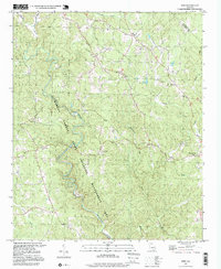
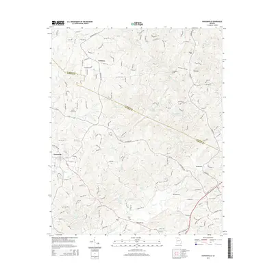
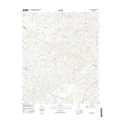
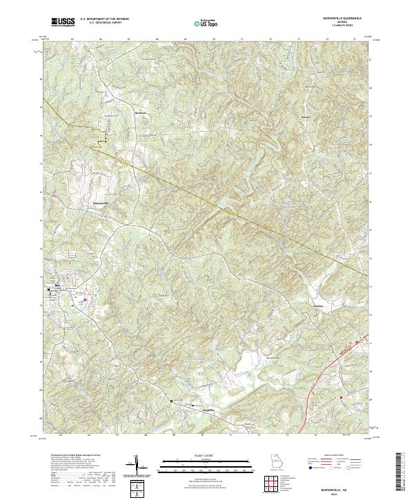 2024 Dawsonville2024 Print · USGSDawsonville and the surrounding foothills appear in this modern survey during a period of steady residential growth. Genealogists and local historians can trace family-named sites such as Martin Cem, the settlement of Auraria, and the Dawson County Courthouse.
 - 2024 Map of Juno, 2024 Print
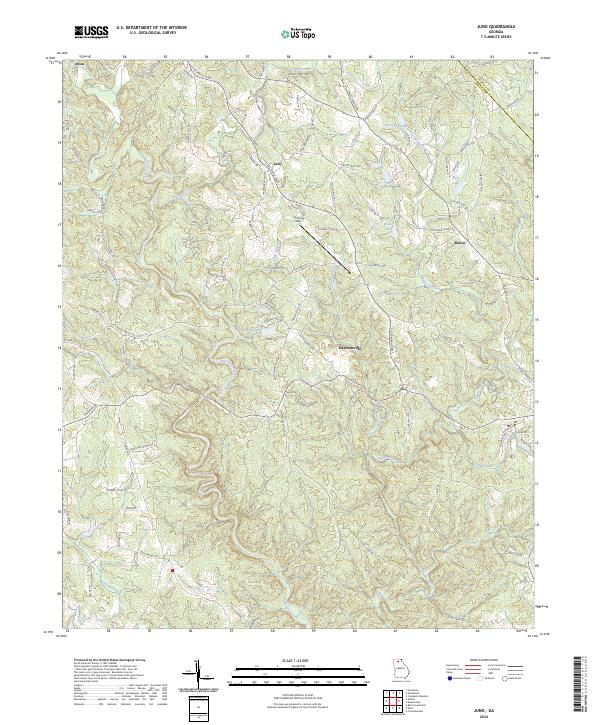 2024 Juno2024 Print · USGSThe foothills of the Blue Ridge come into sharp focus in this recent survey of North Georgia. Family historians can trace ancestral lands along Chastain Mill Rd or near the rural communities of Juno, Afton, and McKee.
End of results
Showing maps 1-21 of 21
Top cities near Dawsonville
- Gainesville historical maps
- Dahlonega historical maps
- Flowery Branch historical maps
- Cumming historical maps
- Oakwood historical maps
- Ball Ground historical maps
Frequently asked questions
- What are the different types of historical maps available for Dawsonville?
- What is the oldest map of Dawsonville?
- Where can I purchase historical maps of Dawsonville for my home or office?
- Where can I download high-res historical maps of Dawsonville?
- Are there historical topographic maps available for Dawsonville?
- Is there historical aerial imagery available for Dawsonville?
- Where are historical maps of Dawsonville sourced from?