2020s Maps of Bainbridge, Georgia
Explore 6 historic maps of Bainbridge from the 2020s. These maps offer a rare glimpse into what life looked like during the 2020s — showing old roads, neighborhoods, homes, and landmarks that have changed or disappeared over time.
Whether you're researching your family's past, planning a metal detecting trip, or studying how Bainbridge's landscape evolved across the 2020s, these high-resolution maps are a powerful tool for exploring the history of this region.
- Focus on a specific era: All maps on this page are from the 2020s, giving you a focused view of this time period.
- See what’s changed: Compare century-old streets, trails, and buildings to today's modern landscape using overlays and satellite layers.
- Research with precision: Use these maps for genealogy, historical research, land use analysis, or educational projects.
- View, download, or print: Maps are fully viewable online in high resolution, and can be downloaded or printed for your own records.
Start exploring Bainbridge's history through authentic maps from the 2020s. This is your window into the past.
Bainbridge, GA maps
(6)- 2020 Map of Fowlstown, 2020 Print
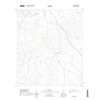 2020 Fowlstown2020 Print · USGSCovers Bainbridge, including Fowlstown, Decatur County, and other nearby areas
 - 2020 Map of Climax North, 2020 Print
 2020 Climax North2020 Print · USGSCovers Bainbridge, including Climax, Parker Courthouse, and other nearby areas
 - 2020 Map of Bainbridge, 2020 Print
 2020 Bainbridge2020 Print · USGSCovers Bainbridge, including Ausmac, Lynn, and other nearby areas
 - 2024 Map of Climax North, 2024 Print
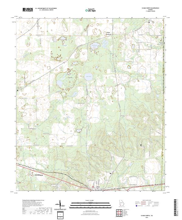 2024 Climax North2024 Print · USGSDecatur County, Georgia, is captured in this modern survey as the town of Climax and the surrounding rural landscapes continue to evolve. Researchers can trace family history at sites like Mars Hill Church Cem, Arline Cem, and the historic Parker Courthouse community.
 - 2024 Map of Bainbridge, 2024 Print
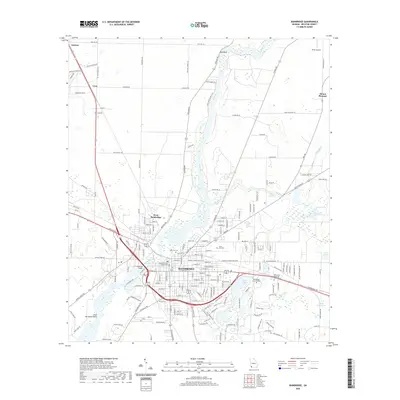
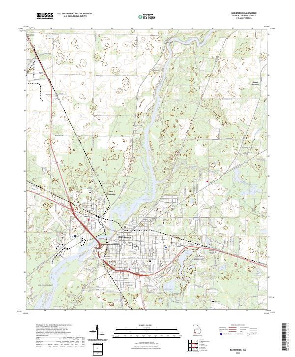 2024 Bainbridge2024 Print · USGSBainbridge and the surrounding Decatur County countryside are shown here in the current decade as the Flint River continues to shape the local landscape. Researchers can locate several historic burial grounds including Oak City Cem and West Bainbridge Cem, or trace the Bird rail line through Lynn.
 - 2024 Map of Fowlstown, 2024 Print
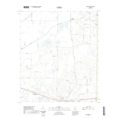
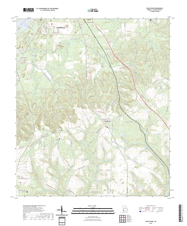 2024 Fowlstown2024 Print · USGSDecatur County at the turn of the twenty-first century reveals a community shaped by the waters of the Florida borderlands. Genealogists and local historians can trace rural roots through Emanuel Church, Green Shade Cemetery, and the settlement of Fowlstown.
End of results
Showing maps 1-6 of 6
Top cities near Bainbridge
Top neighborhoods of Bainbridge
Frequently asked questions
- What are the different types of historical maps available for Bainbridge?
- What is the oldest map of Bainbridge?
- Where can I purchase historical maps of Bainbridge for my home or office?
- Where can I download high-res historical maps of Bainbridge?
- Are there historical topographic maps available for Bainbridge?
- Is there historical aerial imagery available for Bainbridge?
- Where are historical maps of Bainbridge sourced from?