2020s Maps of Douglas County, Georgia
Explore 22 historic maps of Douglas County from the 2020s. These maps offer a rare glimpse into what life looked like during the 2020s — showing old roads, neighborhoods, homes, and landmarks that have changed or disappeared over time.
Whether you're researching your family's past, planning a metal detecting trip, or studying how Douglas County's landscape evolved across the 2020s, these high-resolution maps are a powerful tool for exploring the history of this region.
- Focus on a specific era: All maps on this page are from the 2020s, giving you a focused view of this time period.
- See what’s changed: Compare century-old streets, trails, and buildings to today's modern landscape using overlays and satellite layers.
- Research with precision: Use these maps for genealogy, historical research, land use analysis, or educational projects.
- View, download, or print: Maps are fully viewable online in high resolution, and can be downloaded or printed for your own records.
Start exploring Douglas County's history through authentic maps from the 2020s. This is your window into the past.
Douglas County, GA maps
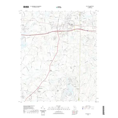
(22)- 2020 Map of Nebo, 2020 Print
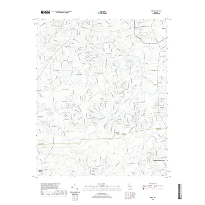 2020 Nebo2020 Print · USGSCovers Douglas County, including Douglasville, Villa Rica, and other nearby areas
 - 2020 Map of Winston, 2020 Print
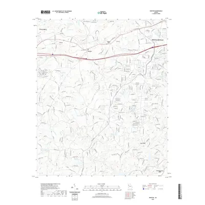 2020 Winston2020 Print · USGSCovers Douglas County, including Douglasville, Villa Rica, and other nearby areas
 - 2020 Map of Rico, 2020 Print
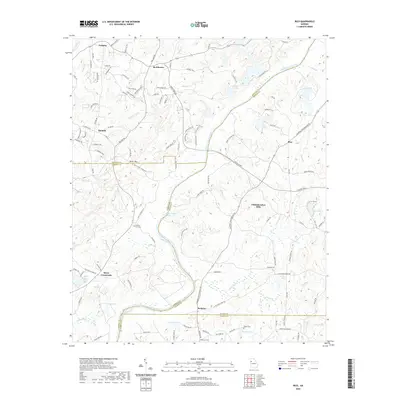 2020 Rico2020 Print · USGSCovers Douglas County, including Chattahoochee Hills, Saint Andrews Country Club Estates, and other nearby areas
 - 2020 Map of New Georgia, 2020 Print
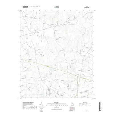 2020 New Georgia2020 Print · USGSCovers Douglas County, including Villa Rica, Union, and other nearby areas
 - 2020 Map of Villa Rica, 2020 Print
 2020 Villa Rica2020 Print · USGSCovers Douglas County, including Villa Rica, Hart Town, and other nearby areas
 - 2020 Map of Hulett, 2020 Print
 2020 Hulett2020 Print · USGSCovers Douglas County, including Whitesburg, Dingler Crossroads, and other nearby areas
 - 2020 Map of Mableton, 2020 Print
 2020 Mableton2020 Print · USGSCovers Douglas County, including Atlanta, Smyrna, and other nearby areas
 - 2020 Map of Austell, 2020 Print
 2020 Austell2020 Print · USGSCovers Douglas County, including Douglasville, Lithia Springs, and other nearby areas
 - 2020 Map of Palmetto, 2020 Print
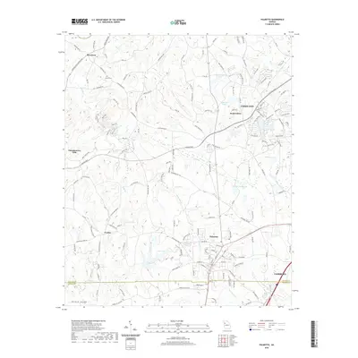 2020 Palmetto2020 Print · USGSCovers Douglas County, including South Fulton, Union City, and other nearby areas
 - 2020 Map of Campbellton, 2020 Print
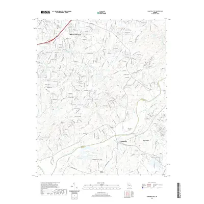 2020 Campbellton2020 Print · USGSCovers Douglas County, including Douglasville, Chapel Hill, and other nearby areas
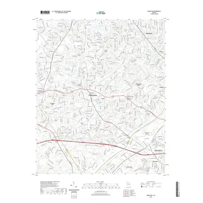
 - 2020 Map of Ben Hill, 2020 Print
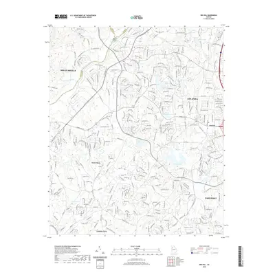 2020 Ben Hill2020 Print · USGSCovers Douglas County, including Atlanta, East Point, and other nearby areas
 - 2024 Map of New Georgia, 2024 Print
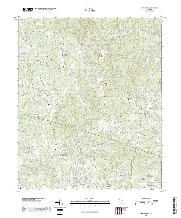 2024 New Georgia2024 Print · USGSPaulding County is captured here in the early twenty-first century as rural communities like New Georgia and Union maintain their historic character. Genealogists can locate numerous community landmarks including White Oak Springs Cem, Concord Cem, and the New Georgia Baptist Church.
 - 2024 Map of Rico, 2024 Print
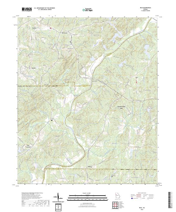 2024 Rico2024 Print · USGSThe rural borders of Fulton and Douglas counties are mapped here in the modern era, where the river still dictates the local geography. Researchers can trace old routes to Morris Ferry, locate family plots at County Line Cem, or find the crossroads at Rico.
 - 2024 Map of Mableton, 2024 Print
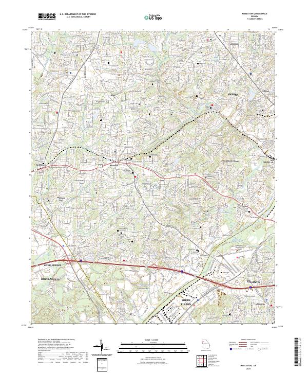 2024 Mableton2024 Print · USGSGreater Atlanta and Mableton come into focus in the early twenty-first century, showing the intersection of historical river crossings and modern growth. Genealogists can trace family heritage through local landmarks like Little Bethel Cem, Turner Ferry, and Trinity United Methodist Church.
 - 2024 Map of Ben Hill, 2024 Print
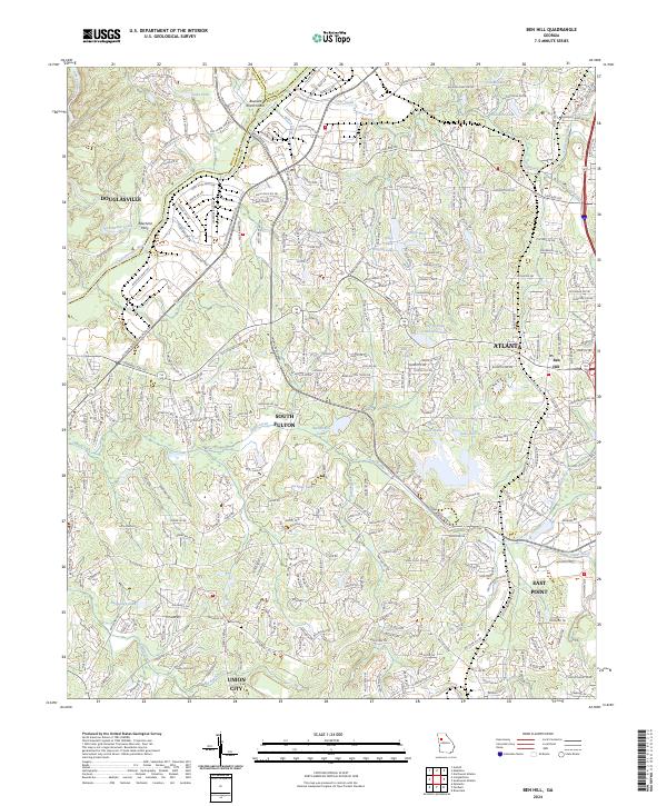 2024 Ben Hill2024 Print · USGSFulton County and the suburban fringes of Atlanta appear in this contemporary survey as a landscape of rapid growth and historical watermarks. Researchers can locate the Bethel Cem or trace the river's path past Aderhold Ferry and Buzzard Roost Island.
 - 2024 Map of Palmetto, 2024 Print
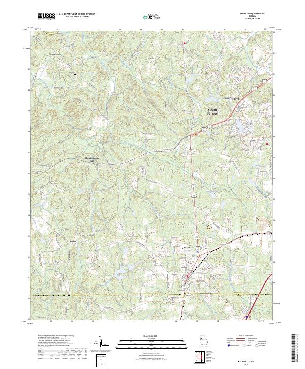 2024 Palmetto2024 Print · USGSSouthwest of Atlanta in the twenty-first century, this landscape shows the meeting point of suburban growth and rural Georgia history. Genealogists and local researchers can locate the Cochran Cem and trace old routes through Rivertown, Goodes, and Chattahoochee Hills.
 - 2024 Map of Winston, 2024 Print
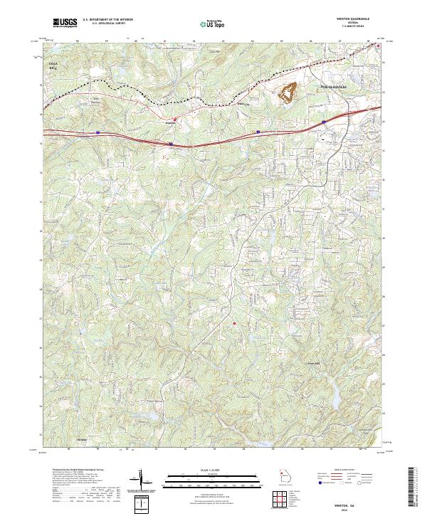 2024 Winston2024 Print · USGSDouglas County reveals a landscape of winding river valleys and growing communities in this recent survey. Local historians can trace the paths of old landmarks like Fouts Mill, Pumpkintown Ferry, and the hills around Andy Mountain.
 - 2024 Map of Villa Rica, 2024 Print
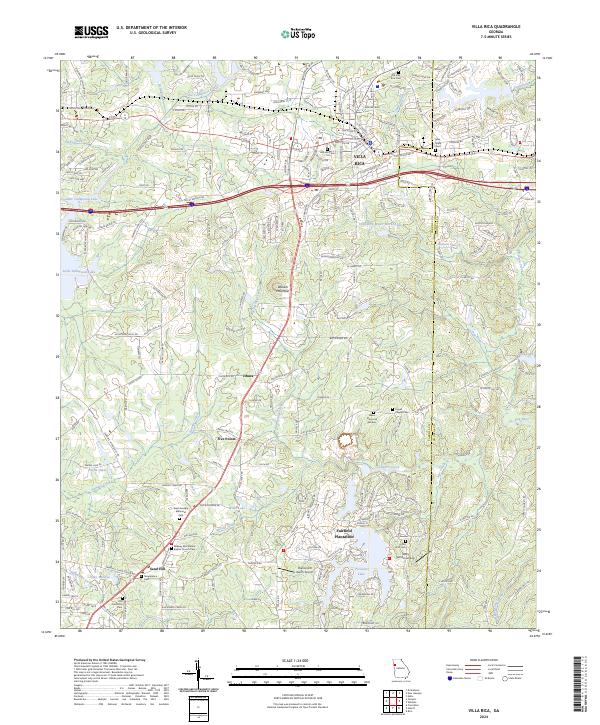 2024 Villa Rica2024 Print · USGSVilla Rica and the surrounding Georgia uplands are captured in this modern survey as the area balances its rural heritage with suburban growth. Researchers can locate legacy family sites at Old Villa Rica Cemetery or trace the development of Fairfield Plantation near Treasure Lake.
 - 2024 Map of Nebo, 2024 Print
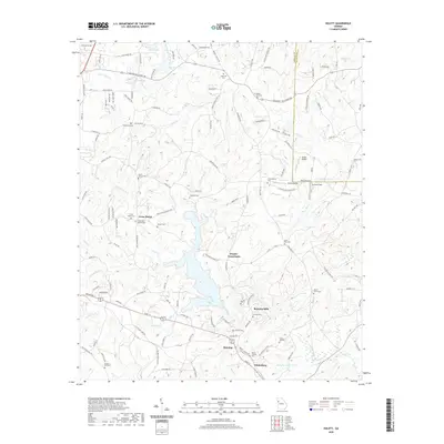
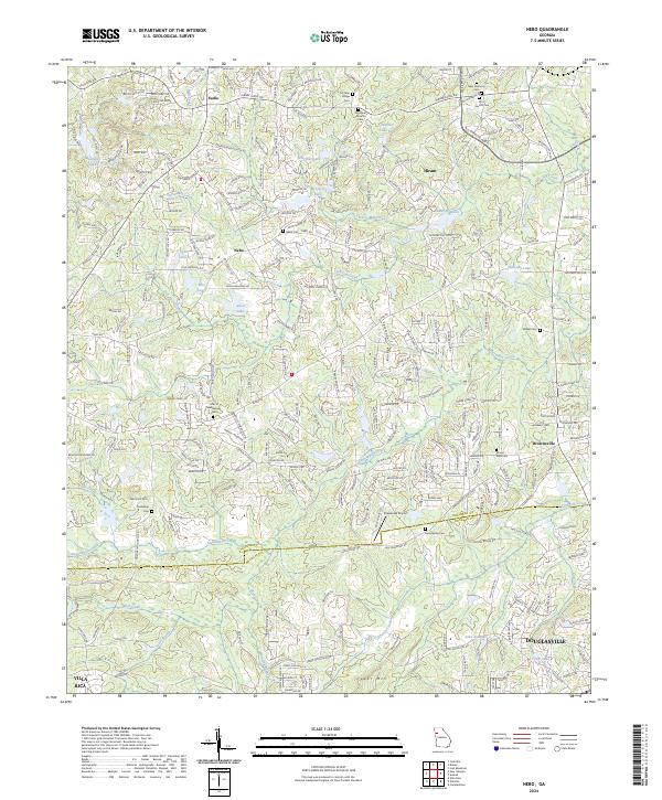 2024 Nebo2024 Print · USGSThe borderlands of Paulding and Douglas counties are revealed here in the early twenty-first century as the region shifts from rural to suburban. Genealogists can trace family names at Nebo Cem and Mount Zion Cem or locate the Pinewood Airport near Gothards Creek.
 - 2024 Map of Austell, 2024 Print
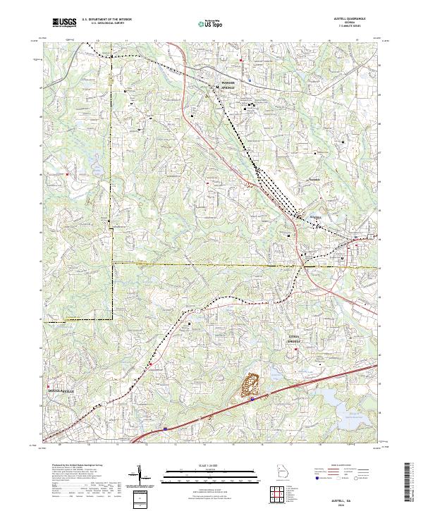 2024 Austell2024 Print · USGSThe growing communities of West Georgia are documented here in the early twenty-first century as suburban expansion meets the region's deep roots. Genealogists and local historians can trace dozens of burial sites, including Old Smith Hill Cem, Causey Chapel Cem, and Rose Hill Cem.
 - 2024 Map of Hulett, 2024 Print
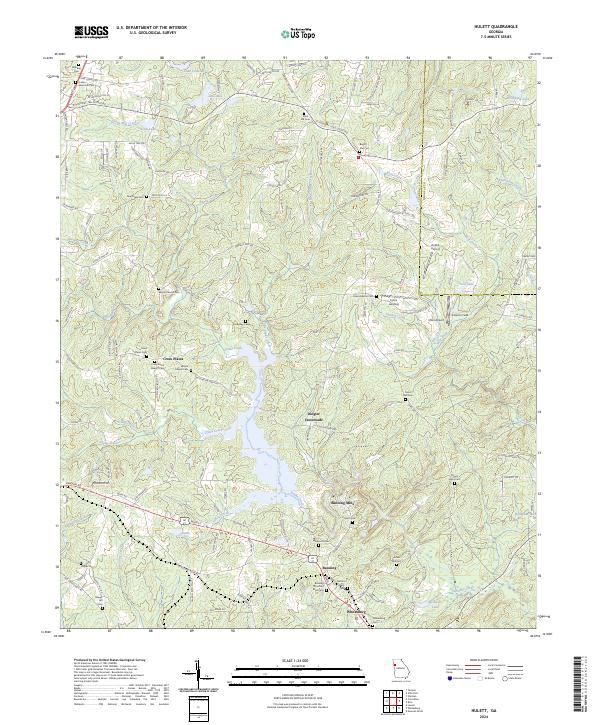 2024 Hulett2024 Print · USGSThe rural landscapes of Carroll County are shown here in modern detail, from the historic sites at Banning Mills to the quiet corner of Cross Plains. Genealogists can trace family connections through numerous sites like Wilson Chapel Cem, Antioch Cem, and the Banning Church of God Cem.
 - 2024 Map of Campbellton, 2024 Print
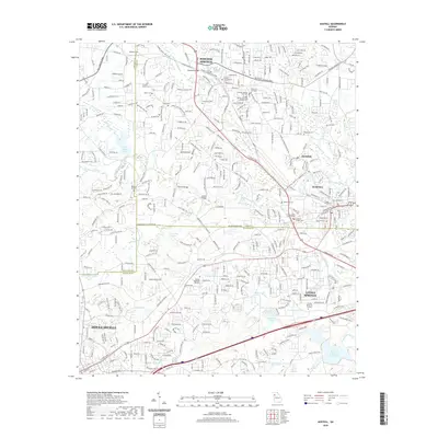
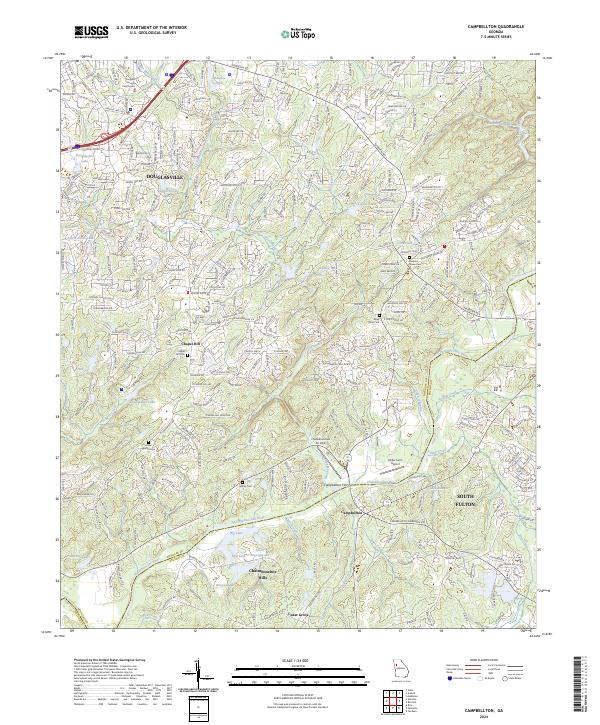 2024 Campbellton2024 Print · USGSDouglas and Fulton counties meet along the winding river corridor in this recent survey of the suburban and rural Piedmont. Researchers can pinpoint several historic burial sites, including the Boyd Slave Cem, and trace the development around Campbellton and Cedar Grove.
End of results
Showing maps 1-22 of 22
Top cities of Douglas County
Frequently asked questions
- What are the different types of historical maps available for Douglas County?
- What is the oldest map of Douglas County?
- Where can I purchase historical maps of Douglas County for my home or office?
- Where can I download high-res historical maps of Douglas County?
- Are there historical topographic maps available for Douglas County?
- Is there historical aerial imagery available for Douglas County?
- Where are historical maps of Douglas County sourced from?