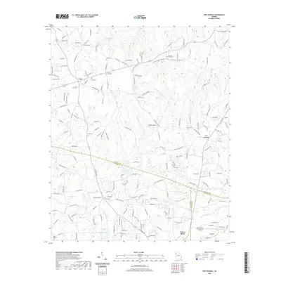
2020 Map of New Georgia
USGS Topo · Published 2020About this map
Villa Rica and the surrounding rural communities sit at the intersection of Carroll, Douglas, and Paulding Counties. This landscape is defined by the winding paths of Sweetwater Creek and the Little Tallapoosa River, where the Piedmont terrain transitions from suburban development to wooded creek valleys. The map documents numerous historic community anchors, particularly a high concentration of country cemeteries including Smyrna Cemetery, Harmony Grove Cemetery, and White Oak Springs Cemetery, which reflect generations of local families. Settlement patterns are concentrated around Union and New Georgia, while the southern portion of the sheet is influenced by the aviation presence at Earl L Small Jr Field/Stockmar Airport. Notable landmarks such as Mulberry Rock and Pine Mountain rise above the drainage basins of Turkey Creek and Crider Creek, marking the high points of this north Georgia geography.
Find a feature on this map
177 named features on this map. Tap any name to fly to it.
Don’t see what you’re looking for? This feature index may not catch every label — zoom into the map to look around manually.
Map Details
Editions of this 2020 New Georgia Map
This is the sole edition of this map. No revisions or reprints were ever made.
Other maps of this area

1889 · Tallapoosa
USGS Topo · 1:125,000

1891 · Marietta
USGS Topo · 1:125,000

1892 · Tallapoosa
USGS Topo · 1:125,000

1895 · Marietta
USGS Topo · 1:125,000

1897 · Marietta
USGS Topo · 1:125,000

1897 · Tallapoosa
USGS Topo · 1:125,000

1901 · Marietta
USGS Topo · 1:125,000

1953 · Atlanta
USGS Topo · 1:250,000

1957 · Atlanta
USGS Topo · 1:250,000

1958 · Atlanta
USGS Topo · 1:250,000