2000s (21st Century) Maps of Double Churches, Georgia
Explore 5 historic maps of Double Churches from the 2000s (21st Century). These maps offer a rare glimpse into what life looked like during the 2000s — showing old roads, neighborhoods, homes, and landmarks that have changed or disappeared over time.
Whether you're researching your family's past, planning a metal detecting trip, or studying how Double Churches's landscape evolved across the 2000s, these high-resolution maps are a powerful tool for exploring the history of this region.
- Focus on a specific era: All maps on this page are from the 2000s, giving you a focused view of this time period.
- See what’s changed: Compare century-old streets, trails, and buildings to today's modern landscape using overlays and satellite layers.
- Research with precision: Use these maps for genealogy, historical research, land use analysis, or educational projects.
- View, download, or print: Maps are fully viewable online in high resolution, and can be downloaded or printed for your own records.
Start exploring Double Churches's history through authentic maps from the 2000s. This is your window into the past.
Double Churches, GA maps
(5)- 2011 Map of Red Hill, 2011 Print
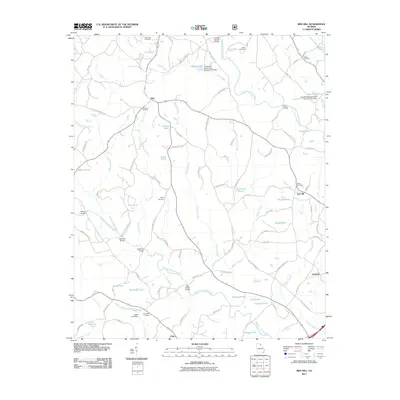 2011 Red Hill2011 Print · USGSCovers Double Churches, including Mize, Red Hill, and other nearby areas
 - 2014 Map of Red Hill, 2014 Print
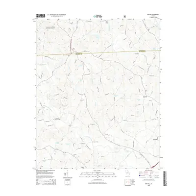 2014 Red Hill2014 Print · USGSCovers Double Churches, including Mize, Red Hill, and other nearby areas
 - 2017 Map of Red Hill, 2017 Print
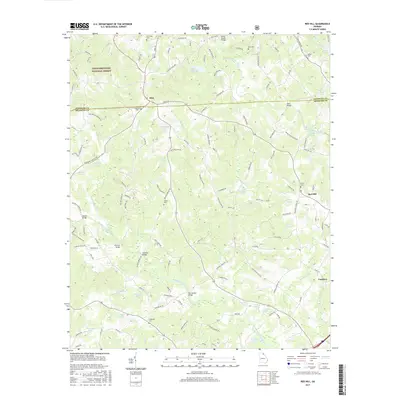 2017 Red Hill2017 Print · USGSCovers Double Churches, including Mize, Red Hill, and other nearby areas
 - 2020 Map of Red Hill, 2020 Print
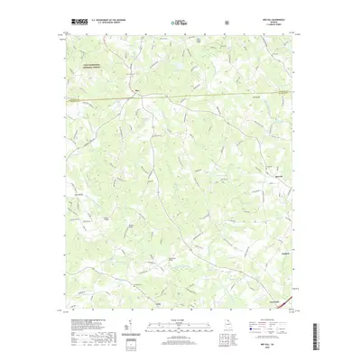 2020 Red Hill2020 Print · USGSCovers Double Churches, including Mize, Red Hill, and other nearby areas
 - 2024 Map of Red Hill, 2024 Print
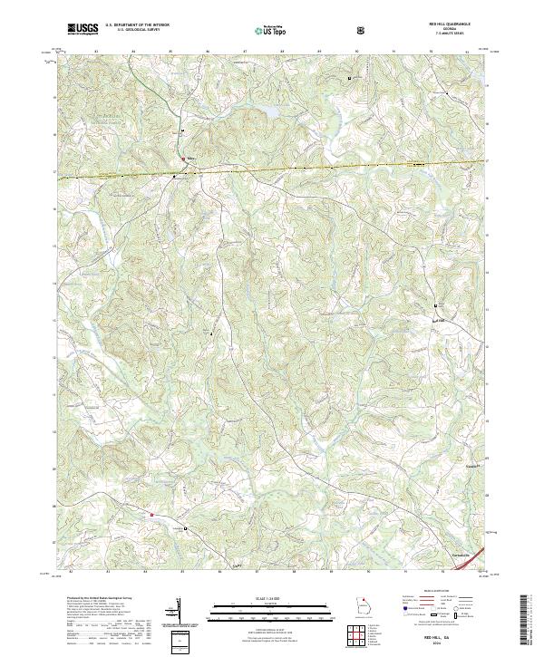 2024 Red Hill2024 Print · USGSGeorgia's upper Piedmont reveals its rural heritage in this contemporary survey of the hills between Carnesville and Mize. Genealogists can trace family connections at New Hope Cem and Culpepper Cem, or locate landmarks along Whiten Creek and the Middle Fork Broad River.
End of results
Showing maps 1-5 of 5
Top cities near Double Churches
- Jefferson historical maps
- Toccoa historical maps
- Commerce historical maps
- Cornelia historical maps
- Baldwin historical maps
- Royston historical maps
See more
Frequently asked questions
- What are the different types of historical maps available for Double Churches?
- What is the oldest map of Double Churches?
- Where can I purchase historical maps of Double Churches for my home or office?
- Where can I download high-res historical maps of Double Churches?
- Are there historical topographic maps available for Double Churches?
- Is there historical aerial imagery available for Double Churches?
- Where are historical maps of Double Churches sourced from?