2020s Maps of Gilmer County, Georgia
Explore 28 historic maps of Gilmer County from the 2020s. These maps offer a rare glimpse into what life looked like during the 2020s — showing old roads, neighborhoods, homes, and landmarks that have changed or disappeared over time.
Whether you're researching your family's past, planning a metal detecting trip, or studying how Gilmer County's landscape evolved across the 2020s, these high-resolution maps are a powerful tool for exploring the history of this region.
- Focus on a specific era: All maps on this page are from the 2020s, giving you a focused view of this time period.
- See what’s changed: Compare century-old streets, trails, and buildings to today's modern landscape using overlays and satellite layers.
- Research with precision: Use these maps for genealogy, historical research, land use analysis, or educational projects.
- View, download, or print: Maps are fully viewable online in high resolution, and can be downloaded or printed for your own records.
Start exploring Gilmer County's history through authentic maps from the 2020s. This is your window into the past.
Gilmer County, GA maps
(28)- 2020 Map of Dyer Gap, 2020 Print
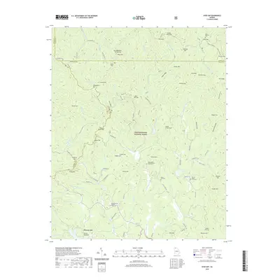 2020 Dyer Gap2020 Print · USGSThe North Georgia highlands come into sharp focus here at the junction of Murray, Fannin, and Gilmer counties. Genealogists and local historians can trace mountain communities and family burial sites like Gates Chapel United Methodist Church Cem and Dyer Mountain Cem.
 - 2020 Map of Cashes Valley, 2020 Print
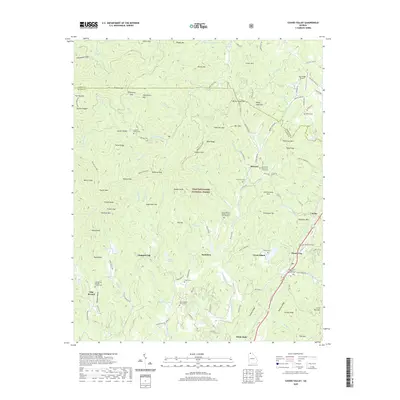 2020 Cashes Valley2020 Print · USGSThe high ridges of Fannin and Gilmer counties are documented here in recent years, showing a landscape of mountain gaps and valley settlements. Genealogists can locate numerous local landmarks including Cashes Valley Cem, Sharp Cem, and Ai.
 - 2020 Map of Talking Rock, 2020 Print
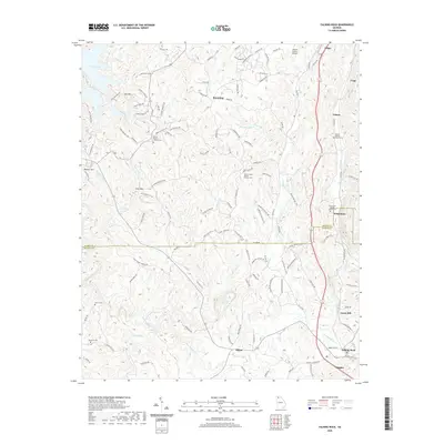 2020 Talking Rock2020 Print · USGSThe hill country of Pickens and Gilmer counties is shown here in the modern era, centered on the historic winding course of Talking Rock Creek. Genealogists and local historians can locate several family and community sites, from Whitestone Baptist Church Cem to the namesake settlement of Talking Rock.
 - 2020 Map of Noontootla, 2020 Print
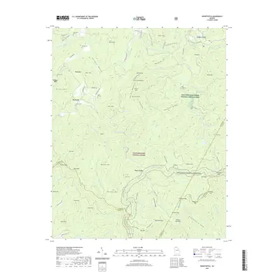 2020 Noontootla2020 Print · USGSThe Georgia mountains around Newport and Three Forks are shown in detail at the turn of the 21st century. Researchers can trace the southern terminus of the Appalachian National Scenic Trail near Springer Mtn and locate historic burial sites like Noontootla Cemetery.
 - 2020 Map of Amicalola, 2020 Print
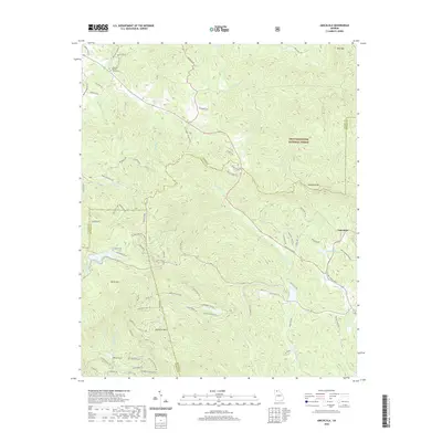 2020 Amicalola2020 Print · USGSDawson County's high-mountain terrain is captured here in the years following the millennium, showing the interplay between protected forest and growing mountain communities. Genealogists and hikers can trace local landmarks like Ebenezer Baptist Church Cem and the trails surrounding Amicalola Mtn.
 - 2020 Map of Dyke, 2020 Print
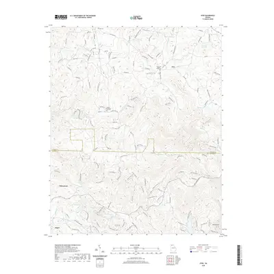 2020 Dyke2020 Print · USGSThe North Georgia mountains near Talking Rock and Dyke are shown in detail as they appeared in 2020. Researchers can trace family history at the Pleasant Valley Baptist Church Cem or locate seasonal properties near Diamond Lure Lake.
 - 2020 Map of Oakman, 2020 Print
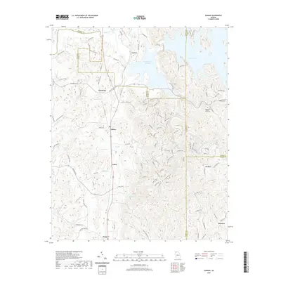 2020 Oakman2020 Print · USGSNorth Georgia's mountain-and-valley transition is captured here in the early 21st century, centered on the waters of the Coosawattee River. Researchers can trace the rural communities of Oakman and Ranger or locate the Shady Grove Baptist Church Cem near the banks of Carters Lake.
 - 2020 Map of Tickanetley, 2020 Print
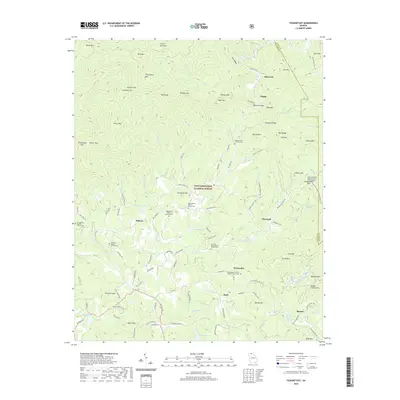 2020 Tickanetley2020 Print · USGSThe North Georgia mountains near Tickanetley are shown in this modern survey during a period of enduring rural character. Genealogists and historians can trace family locations through numerous sites like Macedonia Baptist Church Cem, Quill, and Diamond.
 - 2020 Map of Blue Ridge, 2020 Print
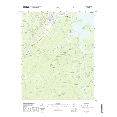 2020 Blue Ridge2020 Print · USGSBlue Ridge and the surrounding Fannin County highlands are detailed here during a period of modern growth and forest conservation. Researchers can locate numerous family-named landmarks and historical sites, including Elrod Mill, Antioch Cem, and the Fannin County Courthouse.
 - 2020 Map of Webb, 2020 Print
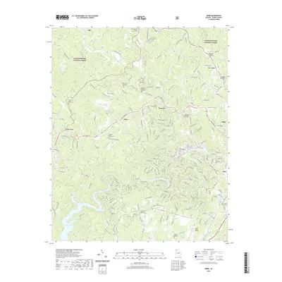 2020 Webb2020 Print · USGSGilmer County's rural heartland is meticulously documented here during the late twenty-tens, showing the area west of Ellijay and the Coosawattee River. Researchers can locate several community pillars like the Goble Family Cem, Sunlight Baptist Church, and the Gilmer County Airport.
 - 2020 Map of Ellijay, 2020 Print
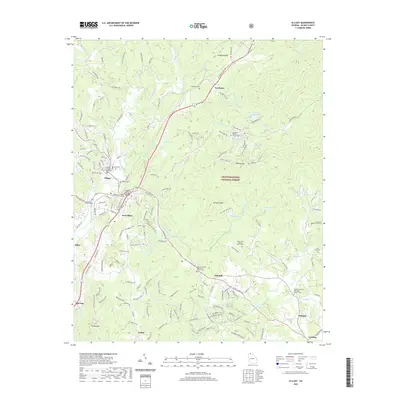 2020 Ellijay2020 Print · USGSNorth Georgia's mountain landscape comes into focus at the confluence of the Ellijay and Cartecay Rivers during the early twenty-first century. Genealogists can trace local roots across numerous family and church burial grounds, from the Northcutt Cem to the Scrougetown Baptist Church Cem.
 - 2020 Map of Nimblewill, 2020 Print
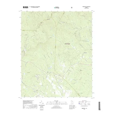 2020 Nimblewill2020 Print · USGSLumpkin County at the southern edge of the Blue Ridge mountains features a landscape of high peaks and river gaps. Genealogists and hikers can trace old routes near Nimblewill, family burial sites like High Shoals Cem, and the prominent Springer Mtn.
 - 2020 Map of Ramhurst, 2020 Print
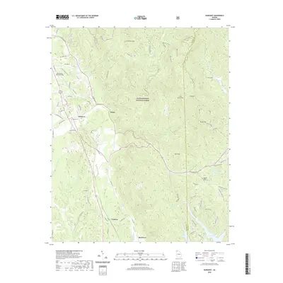 2020 Ramhurst2020 Print · USGSThe foothills of the Blue Ridge Mountains come alive in this recent survey of the corridor between Ramhurst and the Chattahoochee National Forest. Researchers can trace local heritage through sites like Ridgeway Baptist Church Cem or the path of the Old Federal Rd S.
 - 2020 Map of Crandall, 2020 Print
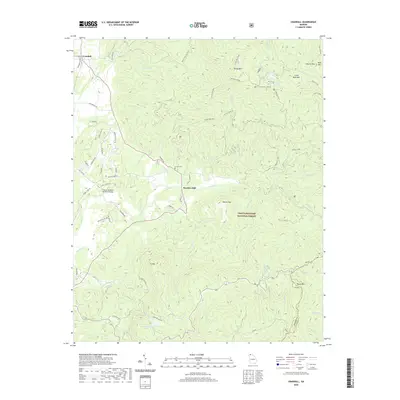 2020 Crandall2020 Print · USGSThe North Georgia mountains near the Murray and Gilmer county line are shown here in the modern era, centered on the settlement of Hasslers Mill. Researchers can trace the L & N railroad at Crandall, find the Ernest Cem, and follow the Pinhoti trail through the Chattahoochee National Forest.
 - 2024 Map of Tickanetley, 2024 Print
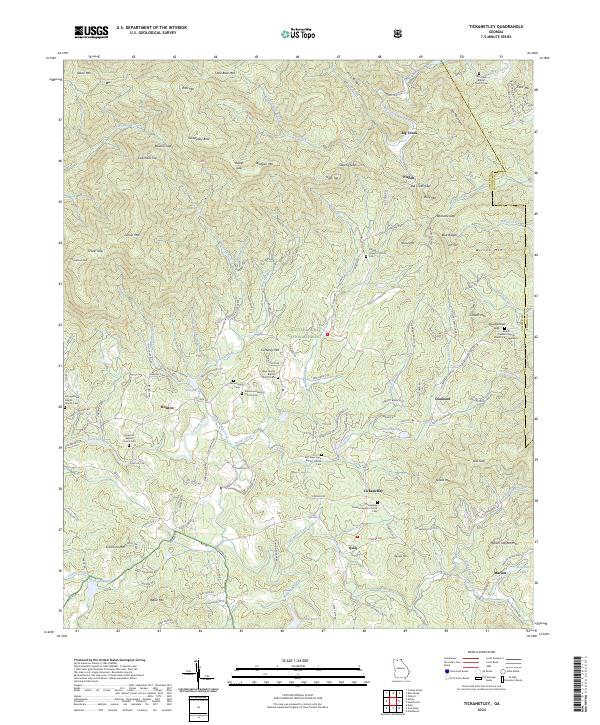 2024 Tickanetley2024 Print · USGSIn the Georgia mountains during the early twenty-first century, rural life remains centered around family-named peaks and mountain congregations. Genealogists and historians can trace the foundations of communities like Tickanetley and Pisgah through landmarks such as River Hill Baptist Church and the Macedonia Baptist Church Cem.
 - 2024 Map of Ramhurst, 2024 Print
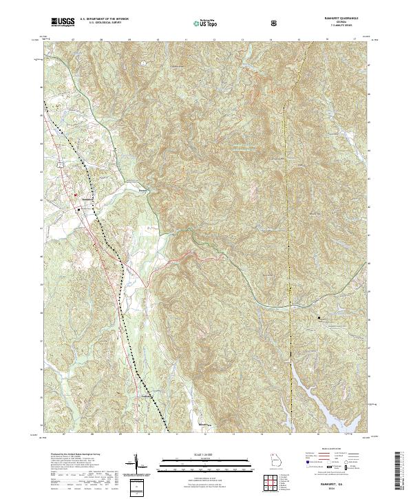 2024 Ramhurst2024 Print · USGSMurray County’s mountain fringe and the valley settlements of Ramhurst and Dennis are captured here in the early twenty-first century. Genealogists and local historians can trace family land near Ramsey Cem, the settlement of Bloodtown, and the winding Pinhoti Trl.
 - 2024 Map of Dyer Gap, 2024 Print
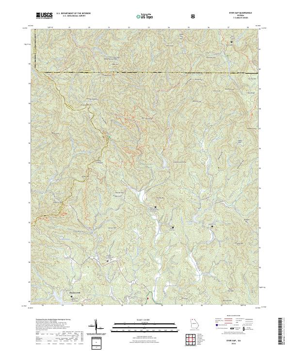 2024 Dyer Gap2024 Print · USGSThe high ridges of Gilmer and Fannin counties are documented here in the early twenty-first century, showing the intersection of wilderness and settlement. Trace family history at the Nine Mile United Methodist Church Cem or explore mountain passes like Dyer Gap and Sassafras Gap.
 - 2024 Map of Amicalola, 2024 Print
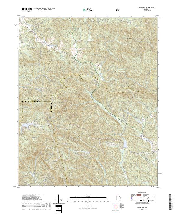 2024 Amicalola2024 Print · USGSThe North Georgia mountains near Amicalola appear here in the modern era, showing the meeting of three counties amidst high peaks. Researchers can locate the Ebenezer Baptist Church Cem and trace the paths of Amicalola Creek or Licklog Creek through the Chattahoochee National Forest.
 - 2024 Map of Dyke, 2024 Print
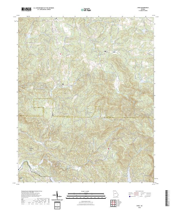 2024 Dyke2024 Print · USGSThe North Georgia uplands at the Gilmer and Pickens border come into focus in this recent survey. Genealogists and local historians can locate several traditional landmarks including Pleasant Valley Baptist Church Cemetery and Sharptop Mountain.
 - 2024 Map of Blue Ridge, 2024 Print
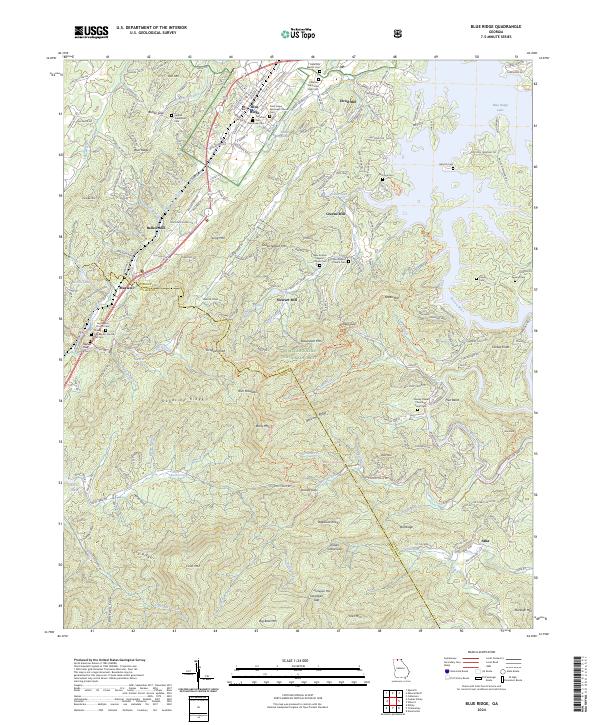 2024 Blue Ridge2024 Print · USGSThe mountain town of Blue Ridge and its surrounding Fannin County peaks are shown here in modern detail. Researchers can trace family history through numerous burial sites like McKinney Cem or locate old community hubs at Stewart Mill and Aska.
 - 2024 Map of Nimblewill, 2024 Print
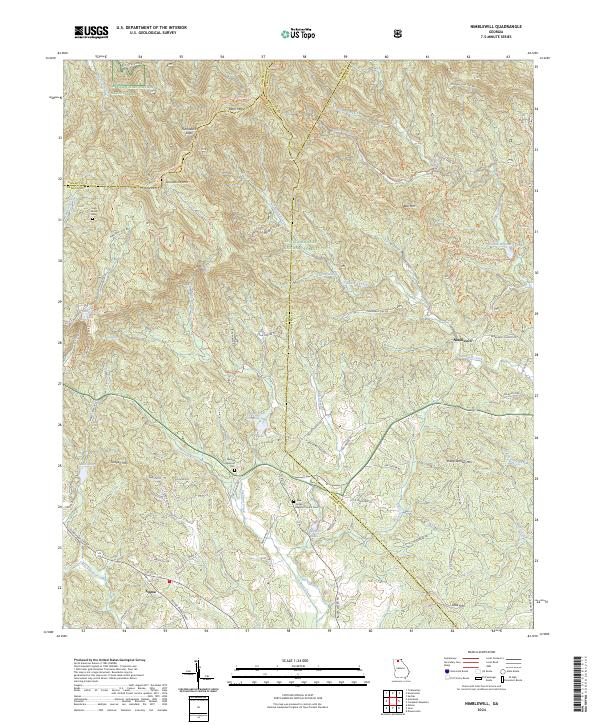 2024 Nimblewill2024 Print · USGSThe foothills of the Blue Ridge come alive in this survey of the Dawson and Lumpkin county borders. Genealogists and hikers can trace historic family burial sites like Spriggs Summerour Cem and the path of the Appalachian National Scenic Trail.
 - 2024 Map of Crandall, 2024 Print
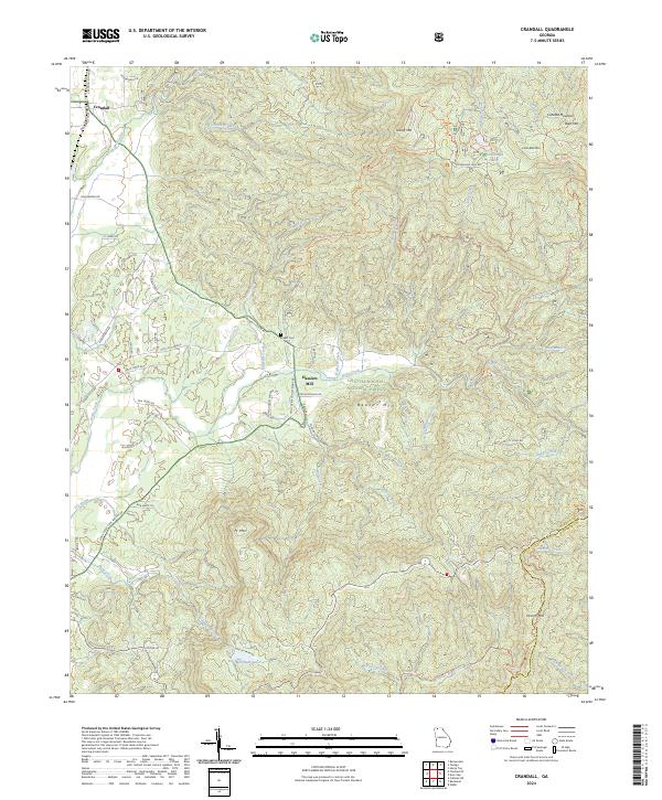 2024 Crandall2024 Print · USGSMurray County and the edge of the Blue Ridge mountains come into focus in this contemporary survey of the north Georgia highlands. Genealogists and hikers can trace the geography around Crandall, find the historic Ernest Cem, and locate landmarks like Hasslers Mill.
 - 2024 Map of Webb, 2024 Print
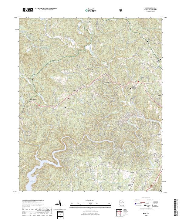 2024 Webb2024 Print · USGSGilmer County remains a landscape of deep-rooted mountain communities and national forest land in this recent survey. Researchers can pinpoint numerous family landmarks and rural congregations, including the Goble Family Cem, Dover Chapel Cem, and Tails Creek Baptist Church Cem.
 - 2024 Map of Cashes Valley, 2024 Print
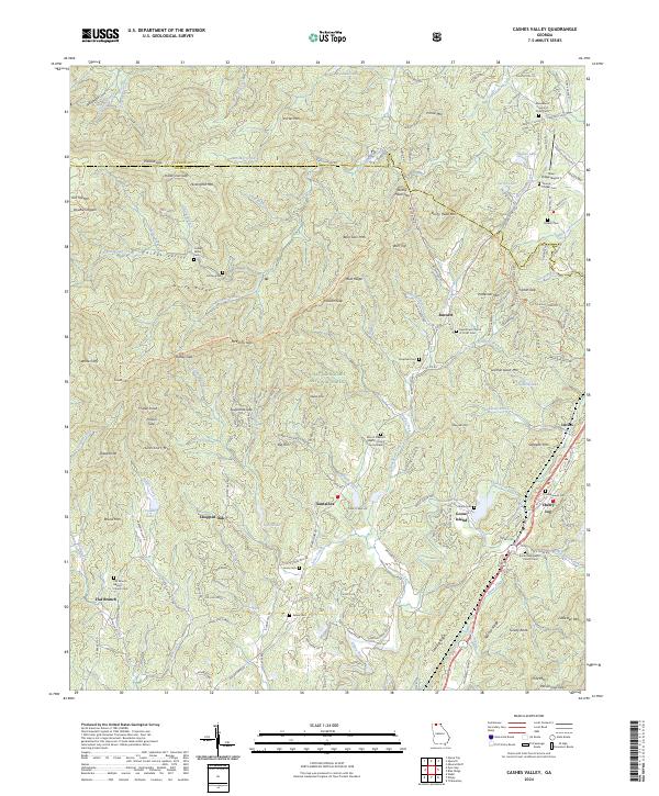 2024 Cashes Valley2024 Print · USGSThe Georgia mountains near the Fannin and Gilmer county line are shown here in modern detail. Genealogists can trace family landmarks like Cashes Valley Cem and Underwood Cem or explore the settlements of Cherry Log and Santaluca.
 - 2024 Map of Ellijay, 2024 Print
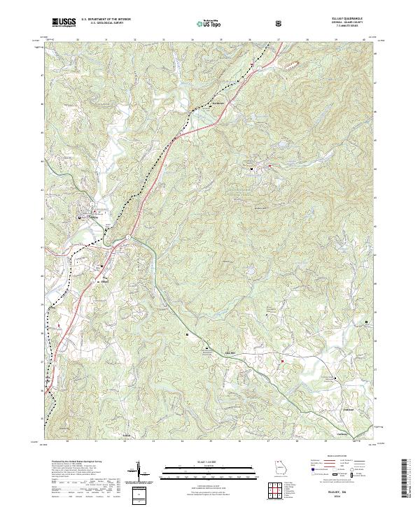 2024 Ellijay2024 Print · USGSGilmer County's mountain valleys are captured in this recent survey during a period of sustained growth around the river confluences. Researchers can trace family roots through numerous sites like Northcutt Cem, Jarrett Cem, and the Gilmer County Courthouse.
Showing maps 1-25 of 28
Top cities of Gilmer County
Frequently asked questions
- What are the different types of historical maps available for Gilmer County?
- What is the oldest map of Gilmer County?
- Where can I purchase historical maps of Gilmer County for my home or office?
- Where can I download high-res historical maps of Gilmer County?
- Are there historical topographic maps available for Gilmer County?
- Is there historical aerial imagery available for Gilmer County?
- Where are historical maps of Gilmer County sourced from?