2000s (21st Century) Maps of Ellijay, Georgia
Explore 10 historic maps of Ellijay from the 2000s (21st Century). These maps offer a rare glimpse into what life looked like during the 2000s — showing old roads, neighborhoods, homes, and landmarks that have changed or disappeared over time.
Whether you're researching your family's past, planning a metal detecting trip, or studying how Ellijay's landscape evolved across the 2000s, these high-resolution maps are a powerful tool for exploring the history of this region.
- Focus on a specific era: All maps on this page are from the 2000s, giving you a focused view of this time period.
- See what’s changed: Compare century-old streets, trails, and buildings to today's modern landscape using overlays and satellite layers.
- Research with precision: Use these maps for genealogy, historical research, land use analysis, or educational projects.
- View, download, or print: Maps are fully viewable online in high resolution, and can be downloaded or printed for your own records.
Start exploring Ellijay's history through authentic maps from the 2000s. This is your window into the past.
Ellijay, GA maps
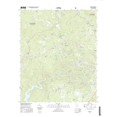
(10)- 2011 Map of Webb, 2011 Print
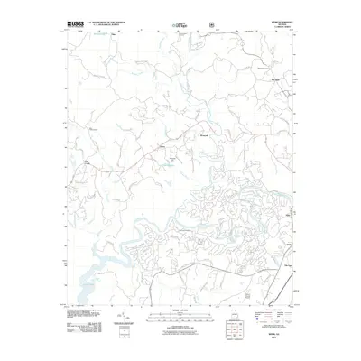 2011 Webb2011 Print · USGSCovers Ellijay, including Elders, Tails Creek, and other nearby areas
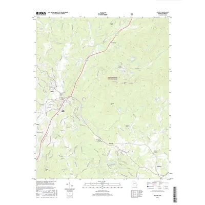
 - 2011 Map of Ellijay, 2011 Print
 2011 Ellijay2011 Print · USGSCovers Ellijay, including East Ellijay, Oak Hill, and other nearby areas
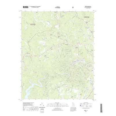
 - 2014 Map of Webb, 2014 Print
 2014 Webb2014 Print · USGSCovers Ellijay, including Elders, Tails Creek, and other nearby areas
 - 2014 Map of Ellijay, 2014 Print
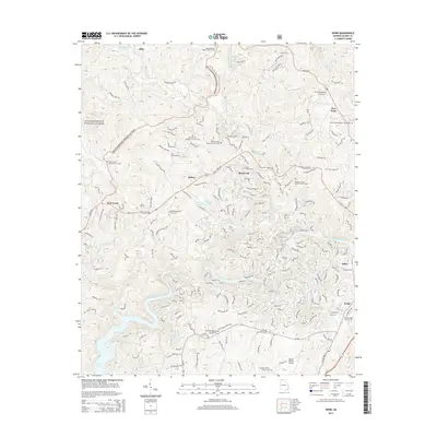
 2014 Ellijay2014 Print · USGSCovers Ellijay, including East Ellijay, Oak Hill, and other nearby areas
 - 2017 Map of Webb, 2017 Print
 2017 Webb2017 Print · USGSCovers Ellijay, including Elders, Tails Creek, and other nearby areas
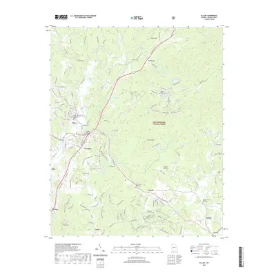
 - 2017 Map of Ellijay, 2017 Print
 2017 Ellijay2017 Print · USGSCovers Ellijay, including East Ellijay, Oak Hill, and other nearby areas
 - 2020 Map of Webb, 2020 Print
 2020 Webb2020 Print · USGSCovers Ellijay, including Elders, Tails Creek, and other nearby areas
 - 2020 Map of Ellijay, 2020 Print
 2020 Ellijay2020 Print · USGSCovers Ellijay, including East Ellijay, Oak Hill, and other nearby areas
 - 2024 Map of Webb, 2024 Print
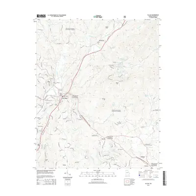
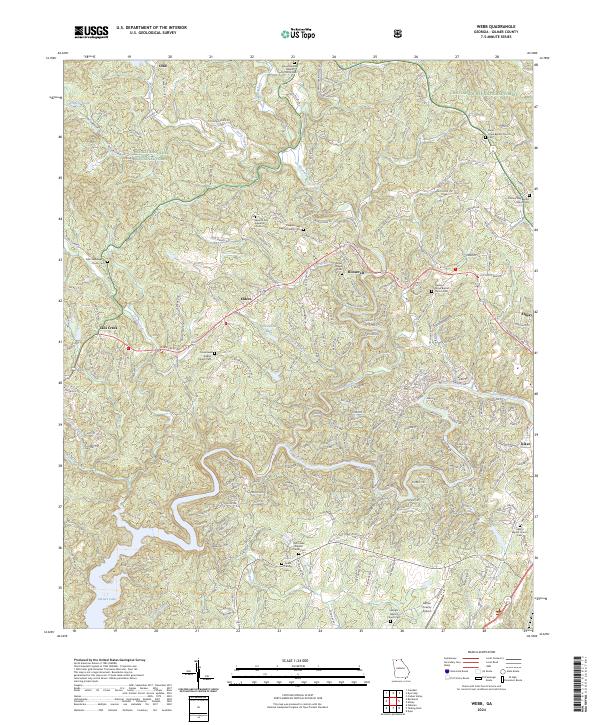 2024 Webb2024 Print · USGSGilmer County remains a landscape of deep-rooted mountain communities and national forest land in this recent survey. Researchers can pinpoint numerous family landmarks and rural congregations, including the Goble Family Cem, Dover Chapel Cem, and Tails Creek Baptist Church Cem.
 - 2024 Map of Ellijay, 2024 Print
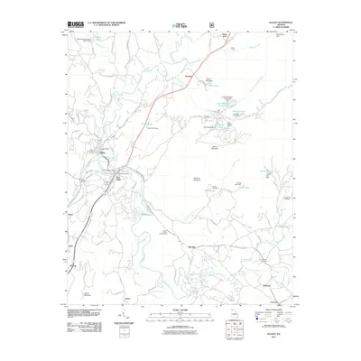
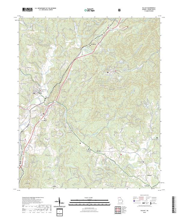 2024 Ellijay2024 Print · USGSGilmer County's mountain valleys are captured in this recent survey during a period of sustained growth around the river confluences. Researchers can trace family roots through numerous sites like Northcutt Cem, Jarrett Cem, and the Gilmer County Courthouse.
End of results
Showing maps 1-10 of 10
Top cities near Ellijay
- Jasper historical maps
- Blue Ridge historical maps
- East Ellijay historical maps
- Talking Rock historical maps
- Ranger historical maps
Frequently asked questions
- What are the different types of historical maps available for Ellijay?
- What is the oldest map of Ellijay?
- Where can I purchase historical maps of Ellijay for my home or office?
- Where can I download high-res historical maps of Ellijay?
- Are there historical topographic maps available for Ellijay?
- Is there historical aerial imagery available for Ellijay?
- Where are historical maps of Ellijay sourced from?