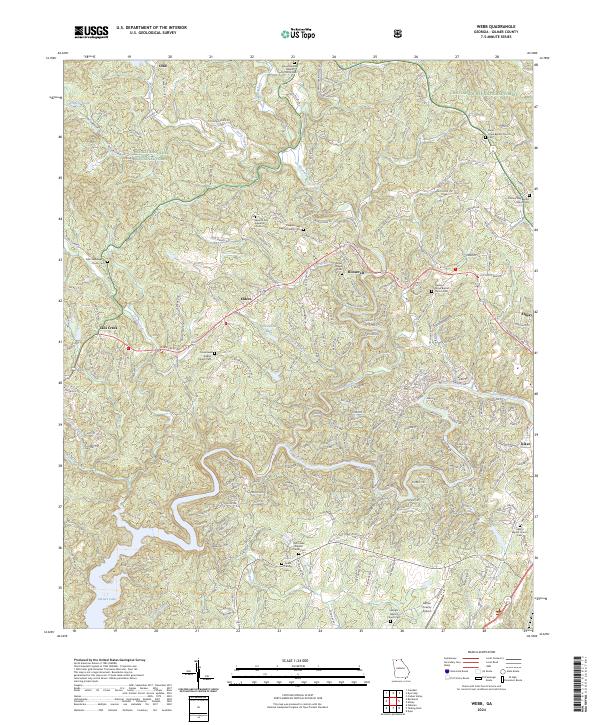
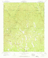
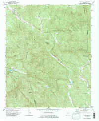
2024 Map of Webb
USGS Topo · Published 2024About this map
The Chattahoochee National Forest creates a dense wooded backdrop for the rural communities of Gilmer County, where the topography is defined by the winding Coosawattee River and its numerous tributaries like Mountaintown Creek and Tails Creek. This modern survey reveals a landscape deeply connected to its local heritage, marked by a high density of country churches and family burial grounds such as the Goble Family Cem and Dover Chapel Cem.
Find a feature on this map
254 named features on this map. Tap any name to fly to it.
Don’t see what you’re looking for? This feature index may not catch every label — zoom into the map to look around manually.
Map Details
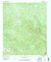
Editions of this 2024 Webb Map
This is the sole edition of this map. No revisions or reprints were ever made.
Historical Maps of Ellijay Through Time
19 maps found
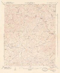
1935 Cashes Valley
Gilmer County, GA
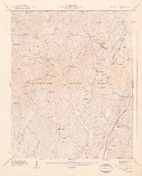
1935 Tickanetley
Gilmer County, GA
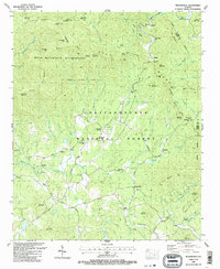
1946 Cashes Valley
Gilmer County, GA
1946 Tickanetley
Gilmer County, GA
1947 Cashes Valley
Gilmer County, GA
1947 Tickanetley
Gilmer County, GA
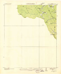
1959 Dyer Gap
Gilmer County, GA
1971 Amicalola
Gilmer County, GA
1971 Dyke
Gilmer County, GA
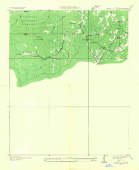
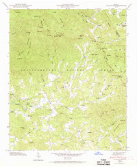
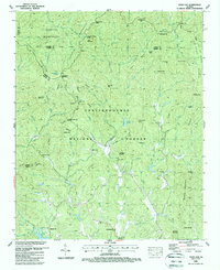
1971 Webb
Gilmer County, GA
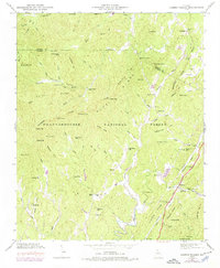
1988 Cashes Valley
Gilmer County, GA
1988 Dyer Gap
Gilmer County, GA
1988 Tickanetley
Gilmer County, GA
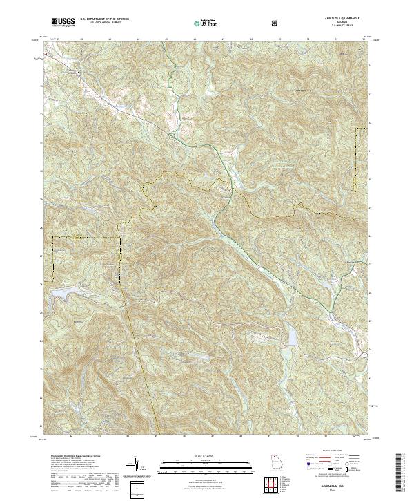
2024 Amicalola
Gilmer County, GA
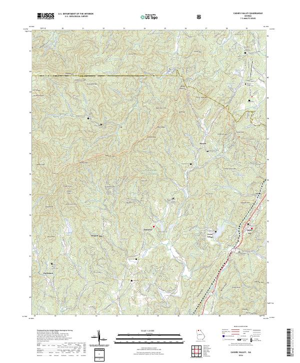
2024 Cashes Valley
Gilmer County, GA
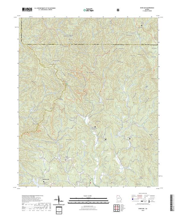
2024 Dyer Gap
Gilmer County, GA
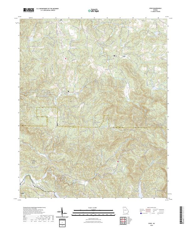
2024 Dyke
Gilmer County, GA
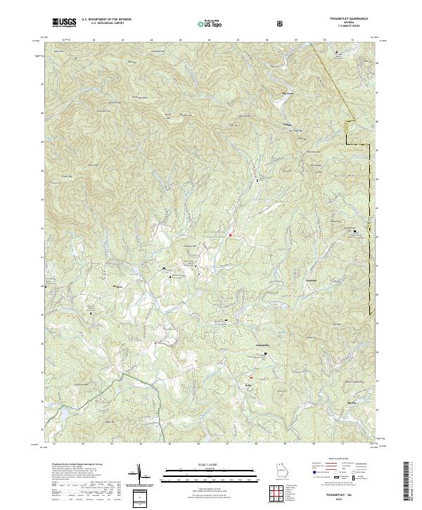
2024 Tickanetley
Gilmer County, GA
2024 Webb
Gilmer County, GA