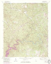
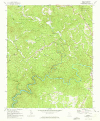
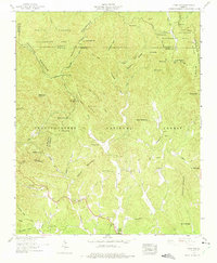
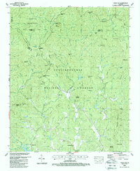
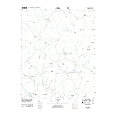
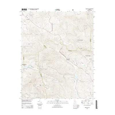
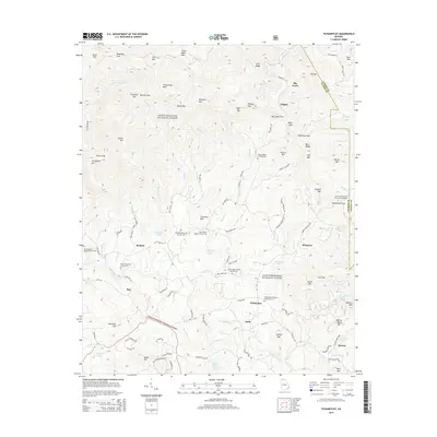
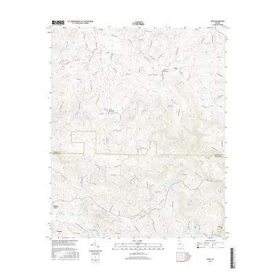
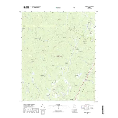
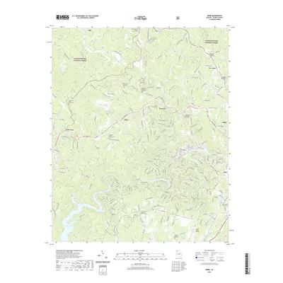
1971 Map of Webb
USGS Topo · Published 1986About this map
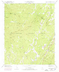
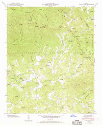
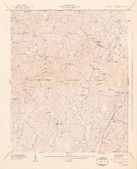
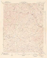
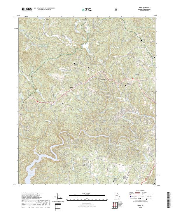
The Coosawattee River snakes through the southern portion of this Gilmer County landscape, leading into the northern reaches of Carters Lake. This 1971 survey, updated with 1985 photorevisions, captures the transition of the river valley as water management projects altered the natural flow. In the surrounding hills of the Chattahoochee National Forest, a network of rural congregations such as Mountainton Ch, Pleasant Gap Ch, and Sunlight Ch anchor the scattered communities of Elders and Roosevelt. The western edge of Ellijay is visible where the terrain begins to level out, while the heights are marked by a Lookout Tower near New Hope. Steep creek beds like Tails Creek and Mountainton Creek define the drainage patterns of this heavily forested region.
Find a feature on this map
30 named features on this map. Tap any name to fly to it.
Don’t see what you’re looking for? This feature index may not catch every label — zoom into the map to look around manually.
Map Details
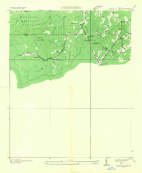
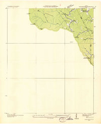
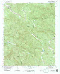
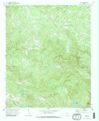
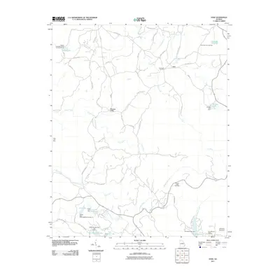
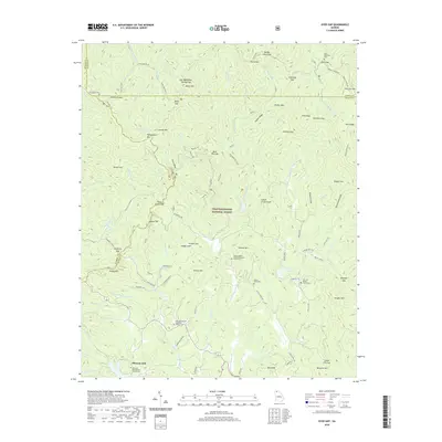
Editions of this 1971 Webb Map
2 editions found
Historical Maps of Ellijay Through Time
43 maps found
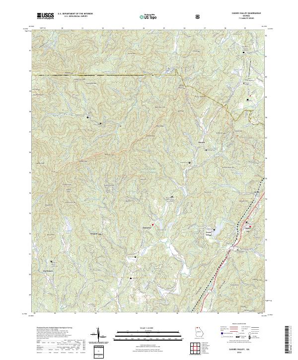
1935 Cashes Valley
Gilmer County, GA
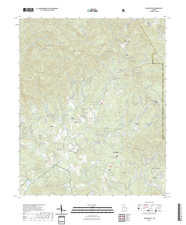
1935 Tickanetley
Gilmer County, GA
1946 Cashes Valley
Gilmer County, GA
1946 Tickanetley
Gilmer County, GA
1947 Cashes Valley
Gilmer County, GA
1947 Tickanetley
Gilmer County, GA
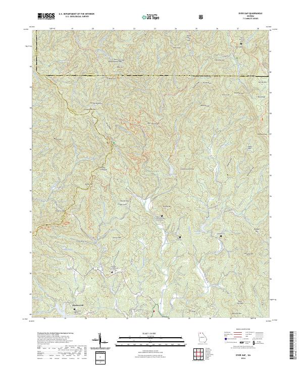
1959 Dyer Gap
Gilmer County, GA
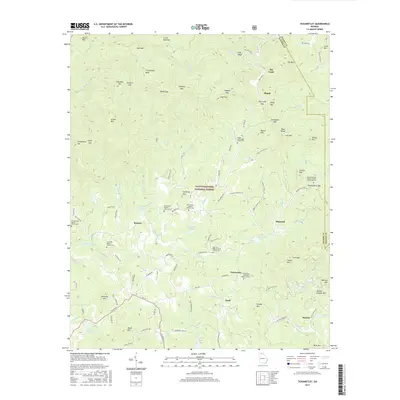
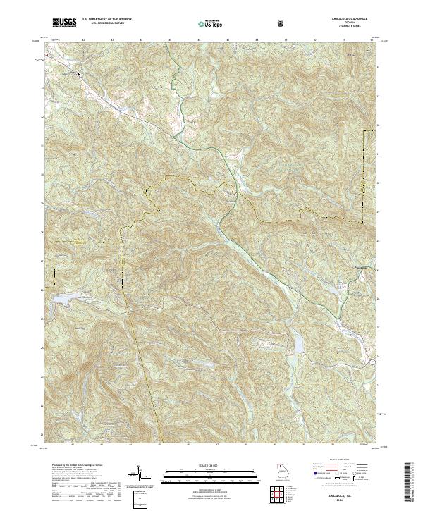
1971 Amicalola
Gilmer County, GA
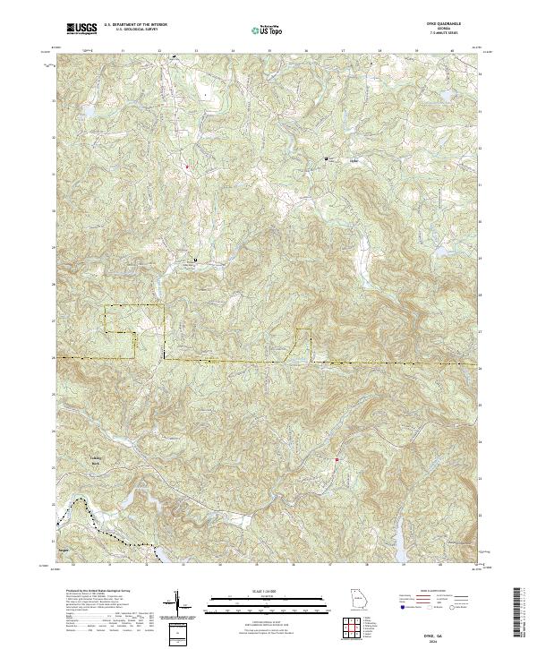
1971 Dyke
Gilmer County, GA
1971 Webb
Gilmer County, GA
1988 Cashes Valley
Gilmer County, GA
1988 Dyer Gap
Gilmer County, GA
1988 Tickanetley
Gilmer County, GA
2011 Amicalola
Gilmer County, GA
2011 Cashes Valley
Gilmer County, GA
2011 Dyer Gap
Gilmer County, GA
2011 Dyke
Gilmer County, GA
2011 Tickanetley
Gilmer County, GA
2011 Webb
Gilmer County, GA
2014 Amicalola
Gilmer County, GA
2014 Cashes Valley
Gilmer County, GA
2014 Dyer Gap
Gilmer County, GA
2014 Dyke
Gilmer County, GA
2014 Tickanetley
Gilmer County, GA
2014 Webb
Gilmer County, GA
2017 Amicalola
Gilmer County, GA

2017 Cashes Valley
Gilmer County, GA
2017 Dyer Gap
Gilmer County, GA
2017 Dyke
Gilmer County, GA
2017 Tickanetley
Gilmer County, GA
2017 Webb
Gilmer County, GA
2020 Amicalola
Gilmer County, GA
2020 Cashes Valley
Gilmer County, GA
2020 Dyer Gap
Gilmer County, GA
2020 Dyke
Gilmer County, GA
2020 Tickanetley
Gilmer County, GA
2020 Webb
Gilmer County, GA
2024 Amicalola
Gilmer County, GA
2024 Cashes Valley
Gilmer County, GA
2024 Dyer Gap
Gilmer County, GA
2024 Dyke
Gilmer County, GA
2024 Tickanetley
Gilmer County, GA
2024 Webb
Gilmer County, GA