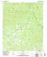
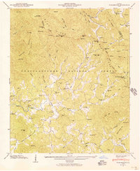
1988 Map of Tickanetley
USGS Topo · Published 1988About this map
The Cartecay River and its numerous tributaries, including Tickanetley Creek, define the topography of this corner of the Chattahoochee National Forest. This late-1980s landscape shows the transition from the protected, high elevations of the Rich Mountain Wilderness to the small rural communities along the river valleys. Local heritage is concentrated around landmarks like Tickanetley, Diamond, and Quill, where spiritual life was anchored by congregations at Macedonia Ch, Christian Ch, and New Liberty Ch.
Find a feature on this map
91 named features on this map. Tap any name to fly to it.
Don’t see what you’re looking for? This feature index may not catch every label — zoom into the map to look around manually.
Map Details
Editions of this 1988 Tickanetley Map
2 editions found
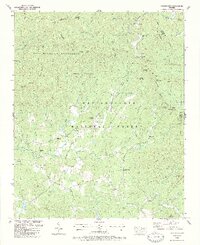
Other maps of this area

1888 · Ellijay
USGS Topo · 1:125,000

1892 · Ellijay
USGS Topo · 1:125,000

1898 · Ellijay
USGS Topo · 1:125,000

1911 · Ellijay
USGS Topo · 1:125,000

1935 · Noontootla
USGS Topo · 1:24,000
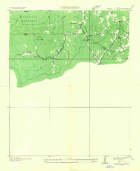
1935 · Cashes Valley
USGS Topo · 1:24,000

1935 · Lake Toccoa
USGS Topo · 1:24,000

1935 · Tickanetley
USGS Topo · 1:24,000
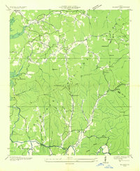
1935 · Wilscot
USGS Topo · 1:24,000
1946 · Tickanetley
USGS Topo · 1:24,000