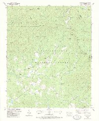
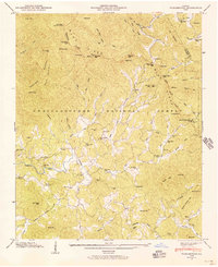
1988 Map of Tickanetley
USGS Topo · Published 1988About this map
The Tennessee Valley Divide snakes through this high-elevation corner of North Georgia, separating the waters of the Cartecay River from the north-flowing Big Creek. This late-1980s landscape is defined by the expansive Rich Mountain Wilderness and the Chattahoochee National Forest, where steep ridges like Tickanetley Bald and Columbia Top tower over isolated mountain settlements. The map documents a network of rural congregations and family burial grounds that anchor these valleys, including Macedonia Ch and the curiously named Scrougetown Cem. Small communities like Tickanetley, Diamond, and Quill are linked by winding roads and numerous four-wheel-drive tracks, illustrating the remote character of Gilmer County before significant modern development reached these higher reaches of the Blue Ridge mountains.
Find a feature on this map
89 named features on this map. Tap any name to fly to it.
Don’t see what you’re looking for? This feature index may not catch every label — zoom into the map to look around manually.
Map Details
Editions of this 1988 Tickanetley Map
2 editions found
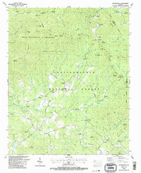
Other maps of this area

1888 · Ellijay
USGS Topo · 1:125,000

1892 · Ellijay
USGS Topo · 1:125,000

1898 · Ellijay
USGS Topo · 1:125,000

1911 · Ellijay
USGS Topo · 1:125,000

1935 · Noontootla
USGS Topo · 1:24,000
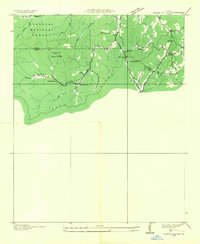
1935 · Cashes Valley
USGS Topo · 1:24,000

1935 · Lake Toccoa
USGS Topo · 1:24,000

1935 · Tickanetley
USGS Topo · 1:24,000
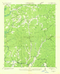
1935 · Wilscot
USGS Topo · 1:24,000
1946 · Tickanetley
USGS Topo · 1:24,000