
1935 Map of Lake Toccoa
USGS Topo · Published 1935About this map
The town of Blue Ridge serves as the hub of this mid-1930s mountain landscape, situated at the junction of the Louisville & Nashville RR and State Highway No 2 & 5. This survey, compiled from aerial photographs for the Tennessee Valley Authority, documents the intricate topography of the Blue Ridge mountains and the sprawling Lake Toccoa reservoir. The presence of the Toccoa Electric Power Company and a significant transmission line underscores the era's focus on rural electrification and hydroelectric development.
Find a feature on this map
52 named features on this map. Tap any name to fly to it.
Don’t see what you’re looking for? This feature index may not catch every label — zoom into the map to look around manually.
Map Details
Editions of this 1935 Lake Toccoa Map
This is the sole edition of this map. No revisions or reprints were ever made.
Other maps of this area

1888 · Ellijay
USGS Topo · 1:125,000

1892 · Ellijay
USGS Topo · 1:125,000

1898 · Ellijay
USGS Topo · 1:125,000

1911 · Ellijay
USGS Topo · 1:125,000

1935 · Epworth
USGS Topo · 1:24,000

1935 · Noontootla
USGS Topo · 1:24,000

1935 · Mineral Bluff
USGS Topo · 1:24,000
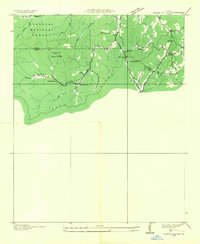
1935 · Cashes Valley
USGS Topo · 1:24,000

1935 · Tickanetley
USGS Topo · 1:24,000
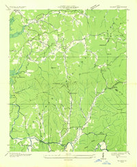
1935 · Wilscot
USGS Topo · 1:24,000