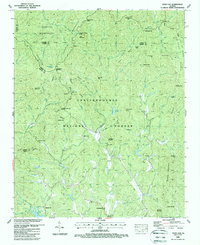
1988 Map of Dyer Gap
USGS Topo · Published 1988About this map
Cohutta Wilderness and the Chattahoochee National Forest dominate this landscape, where the Conasauga River and numerous creeks carve through the peaks of the Blue Ridge. The map documents a sparsely populated mountain region in northern Georgia, defined by high gaps and isolated landmarks. Small religious and community centers like Gates Chapel and Zion Hill Ch serve the few named settlements such as Pleasant Hill and Harkins.
Find a feature on this map
93 named features on this map. Tap any name to fly to it.
Don’t see what you’re looking for? This feature index may not catch every label — zoom into the map to look around manually.
Map Details
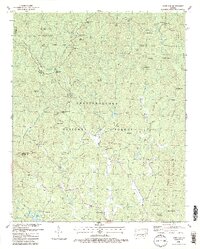
Editions of this 1988 Dyer Gap Map
2 editions found
Other maps of this area

1886 · Dalton
USGS Topo · 1:125,000

1888 · Ellijay
USGS Topo · 1:125,000

1892 · Ellijay
USGS Topo · 1:125,000

1892 · Dalton
USGS Topo · 1:125,000

1897 · Dalton
USGS Topo · 1:125,000

1898 · Ellijay
USGS Topo · 1:125,000

1911 · Ellijay
USGS Topo · 1:125,000

1911 · Cohutta Mtn
USGS Topo · 1:62,500

1913 · Cohutta Mtn.
USGS Topo · 1:62,500

1914 · Talking Rock
USGS Topo · 1:62,500