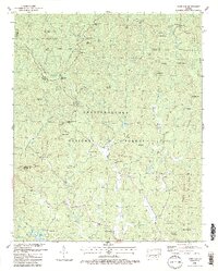
1988 Map of Dyer Gap
USGS Topo · Published 1988About this map
Cohutta Mountain and the surrounding peaks of the Chattahoochee National Forest dominate this 1988 landscape, where Fannin, Gilmer, and Murray Counties meet. The map reveals a rugged backcountry network of 4WD trails and numerous mountain passes, including Sassafras Gap, Alaculsy Gap, and the namesake Dyer Gap. To the south, the settlement of Pleasant Hill and small rural landmarks like Gates Chapel and Nebo Cem provide touchpoints for local genealogical research within the East Mountaintown Creek drainage.
Find a feature on this map
72 named features on this map. Tap any name to fly to it.
Don’t see what you’re looking for? This feature index may not catch every label — zoom into the map to look around manually.
Map Details
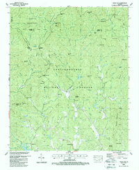
Editions of this 1988 Dyer Gap Map
2 editions found
Other maps of this area

1886 · Dalton
USGS Topo · 1:125,000

1888 · Ellijay
USGS Topo · 1:125,000

1892 · Ellijay
USGS Topo · 1:125,000

1892 · Dalton
USGS Topo · 1:125,000

1897 · Dalton
USGS Topo · 1:125,000

1898 · Ellijay
USGS Topo · 1:125,000

1911 · Ellijay
USGS Topo · 1:125,000

1911 · Cohutta Mtn
USGS Topo · 1:62,500

1913 · Cohutta Mtn.
USGS Topo · 1:62,500

1914 · Talking Rock
USGS Topo · 1:62,500