2020s Maps of Glascock County, Georgia
Explore 20 historic maps of Glascock County from the 2020s. These maps offer a rare glimpse into what life looked like during the 2020s — showing old roads, neighborhoods, homes, and landmarks that have changed or disappeared over time.
Whether you're researching your family's past, planning a metal detecting trip, or studying how Glascock County's landscape evolved across the 2020s, these high-resolution maps are a powerful tool for exploring the history of this region.
- Focus on a specific era: All maps on this page are from the 2020s, giving you a focused view of this time period.
- See what’s changed: Compare century-old streets, trails, and buildings to today's modern landscape using overlays and satellite layers.
- Research with precision: Use these maps for genealogy, historical research, land use analysis, or educational projects.
- View, download, or print: Maps are fully viewable online in high resolution, and can be downloaded or printed for your own records.
Start exploring Glascock County's history through authentic maps from the 2020s. This is your window into the past.
Glascock County, GA maps
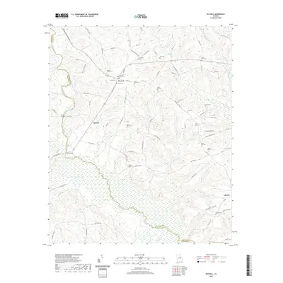
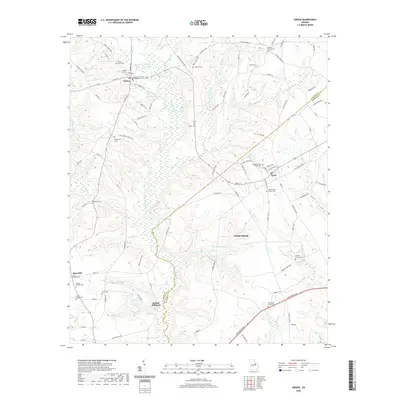
(20)- 2020 Map of Beall Springs, 2020 Print
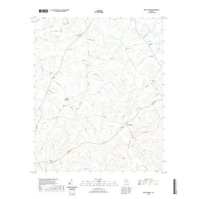 2020 Beall Springs2020 Print · USGSCovers Glascock County, including Five Points, Blume, and other nearby areas
 - 2020 Map of Jewell, 2020 Print
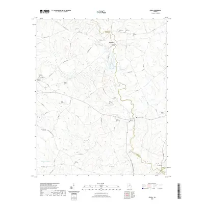 2020 Jewell2020 Print · USGSCovers Glascock County, including Jewell, Mayfield, and other nearby areas
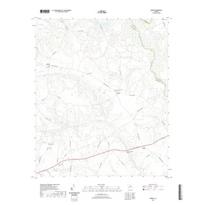
 - 2020 Map of Bastonville, 2020 Print
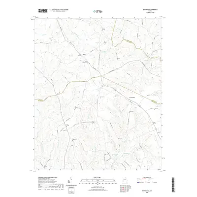 2020 Bastonville2020 Print · USGSCovers Glascock County, including Reese, Bastonville, and other nearby areas
 - 2020 Map of Warthen NE, 2020 Print
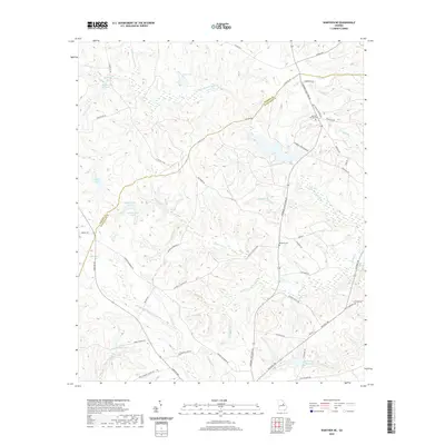 2020 Warthen NE2020 Print · USGSCovers Glascock County, including Washington County, Hancock County, and other nearby areas
 - 2020 Map of Mitchell, 2020 Print
 2020 Mitchell2020 Print · USGSCovers Glascock County, including Mitchell, Agricola, and other nearby areas
 - 2020 Map of Bowdens Pond, 2020 Print
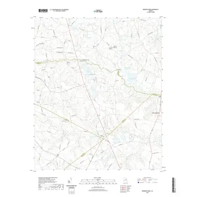 2020 Bowdens Pond2020 Print · USGSCovers Glascock County, including Happy Valley, Autney, and other nearby areas
 - 2020 Map of Wrens, 2020 Print
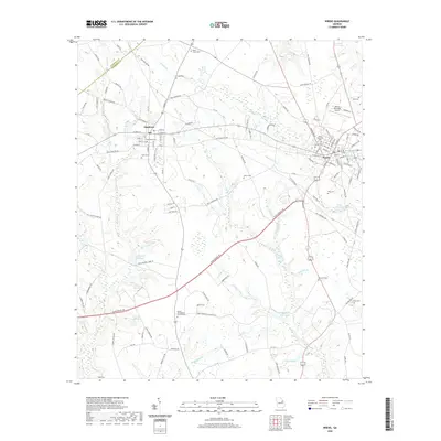 2020 Wrens2020 Print · USGSCovers Glascock County, including Wrens, Stapleton, and other nearby areas
 - 2020 Map of Downs, 2020 Print
 2020 Downs2020 Print · USGSCovers Glascock County, including Downs, Sparks, and other nearby areas
 - 2020 Map of Gibson, 2020 Print
 2020 Gibson2020 Print · USGSCovers Glascock County, including Gibson, Avera, and other nearby areas
 - 2020 Map of Grange, 2020 Print
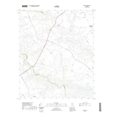 2020 Grange2020 Print · USGSCovers Glascock County, including Davisboro, Stapletons Crossroads, and other nearby areas
 - 2024 Map of Jewell, 2024 Print
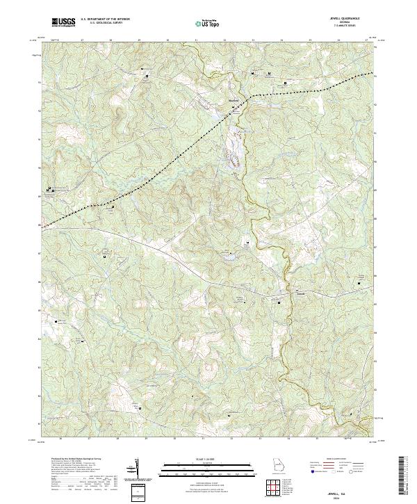 2024 Jewell2024 Print · USGSHancock County's riverfront settlements and family farmsteads are documented in this recent survey. Genealogists can trace family lines through numerous sites like Jewell Cem, Rock Mills Cem, and the John McCown Gravesite.
 - 2024 Map of Grange, 2024 Print
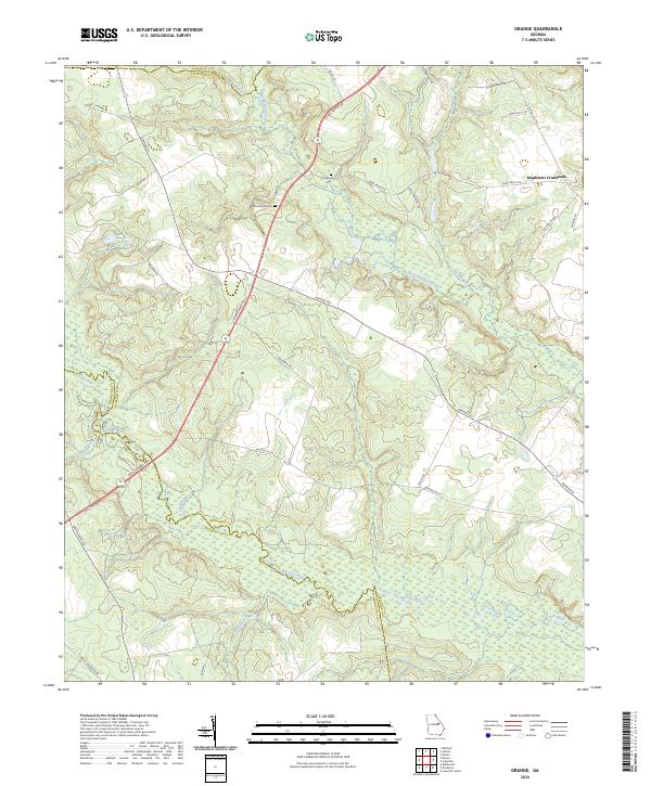 2024 Grange2024 Print · USGSJefferson County and its borders with Glascock and Washington counties are mapped here in the 2020s. Researchers can trace family history at Providence Cem and find local landmarks like Stapletons Crossroads or the winding Ogeechee River.
 - 2024 Map of Bastonville, 2024 Print
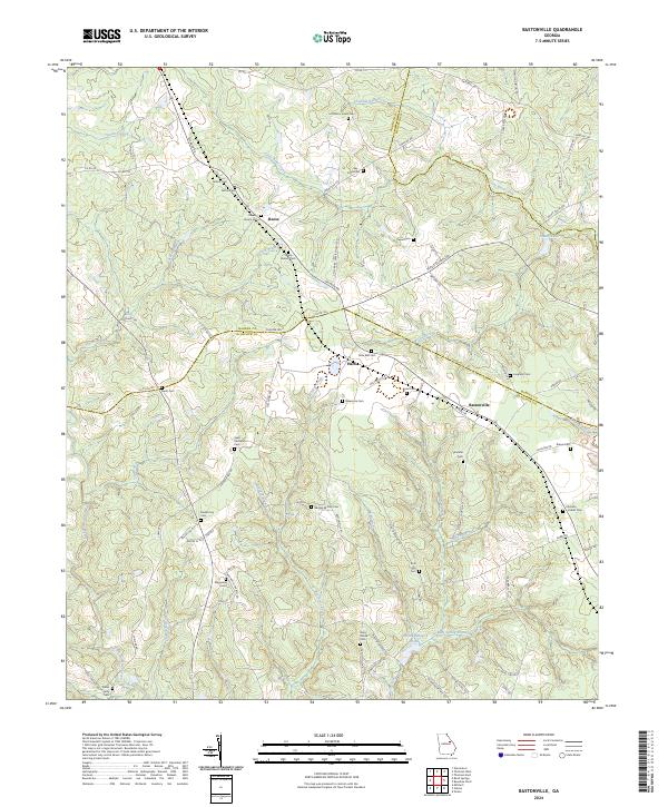 2024 Bastonville2024 Print · USGSGlascock and Warren counties appear here in a recent detailed survey of their rural settlements and deep family roots. Researchers can trace dozens of lineage-named sites including Little Briar Creek Cem, Rosa Bell Cem, and the small community of Bastonville.
 - 2024 Map of Warthen NE, 2024 Print
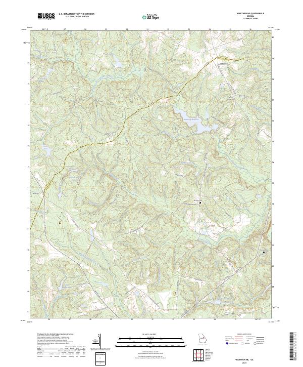 2024 Warthen NE2024 Print · USGSThe Hancock and Washington county line runs through this Georgia landscape during the early twenty-first century. Researchers can trace rural cemetery locations like Mineral Springs Cem and historic water features including Hamburgh Millpond.
 - 2024 Map of Beall Springs, 2024 Print
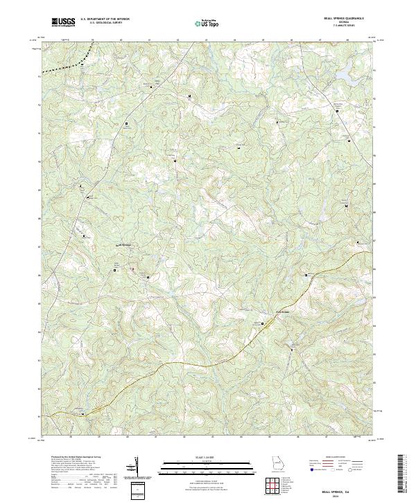 2024 Beall Springs2024 Print · USGSThe area surrounding Beall Springs and Five Points in rural Georgia is shown in contemporary detail. Genealogists can trace family burial sites like Fulghum Family Cem and Martha Ellen English Cem across the Rocky Comfort Creek watershed.
 - 2024 Map of Bowdens Pond, 2024 Print
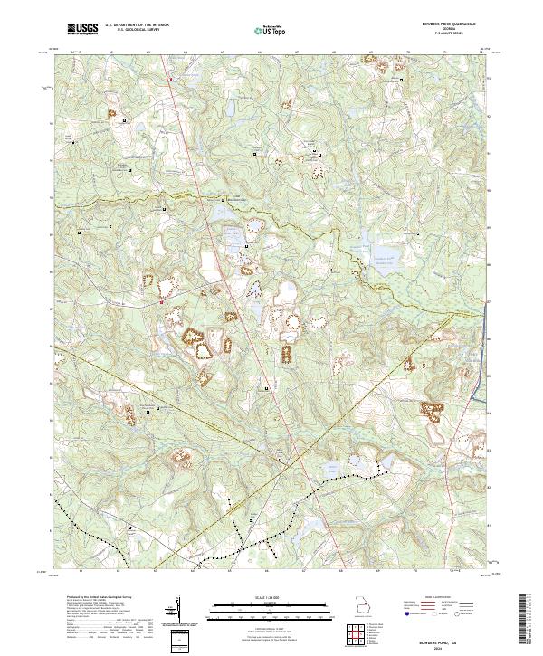 2024 Bowdens Pond2024 Print · USGSIn the rural crossroads where four Georgia counties meet, this map captures a landscape of family-named cemeteries and deep-rooted churches. Genealogists can trace family footprints at Mount Aldred Cem and Fort Creek Baptist Church Cem or locate the industrial waters of Kaolin Mines Lake.
 - 2024 Map of Downs, 2024 Print
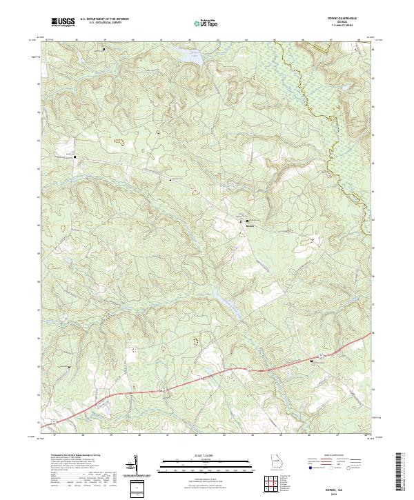 2024 Downs2024 Print · USGSTrace the rural homesteads and family burial grounds of Washington and Jefferson counties in the twenty-first century. Genealogists can locate family-named sites like John Sparks Cem and Amerson Cem or follow the waters of Williamson Swamp Creek.
 - 2024 Map of Gibson, 2024 Print
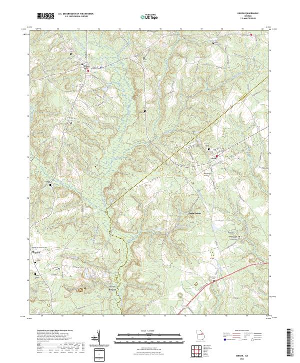 2024 Gibson2024 Print · USGSThe rural landscape of Glascock County is captured here in detail, centered on the historic town of Gibson. Researchers can trace local heritage through a concentration of family and community landmarks, from Glovers Millpond to the Chalker Cem and Omaha Springs.
 - 2024 Map of Mitchell, 2024 Print
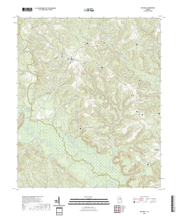 2024 Mitchell2024 Print · USGSThe rural landscape of Glascock County is captured here in the early twenty-first century, centered on the community of Mitchell. Genealogists can locate numerous family burial sites such as Kitchens - Wilcher Cem and the Euphrates Cem near Edgehill.
 - 2024 Map of Wrens, 2024 Print
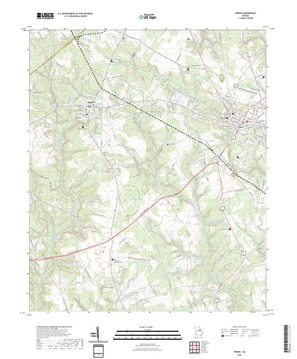 2024 Wrens2024 Print · USGSIn this modern view of Jefferson County, Georgia, the communities of Stapleton and Wrens sit amidst a historic landscape of mill ponds and family cemeteries. Researchers can trace local heritage at Stone Springfield AME Church or locate landmarks like Stapleton Mill Pond and Berryhill Cem.
End of results
Showing maps 1-20 of 20
Top cities of Glascock County
Frequently asked questions
- What are the different types of historical maps available for Glascock County?
- What is the oldest map of Glascock County?
- Where can I purchase historical maps of Glascock County for my home or office?
- Where can I download high-res historical maps of Glascock County?
- Are there historical topographic maps available for Glascock County?
- Is there historical aerial imagery available for Glascock County?
- Where are historical maps of Glascock County sourced from?